
Castle Crags Wilderness
 |
Castle Dome Trail Castle Crags Wilderness |
May 14, 2010
The 210-mile drive from home — entirely on Interstate-5, is
dispatched in a mere three hours' time, even with the Highway Patrol on the
prowl for speedsters seemingly at every turn.
After paying the eight-dollar entrance fee to enter Castle Crags State Park,
it is a short drive up a one-lane road to the parking lot for Vista
Point. Just behind the potty is the trailhead. It is a perfect
55° at 9:30 a.m.
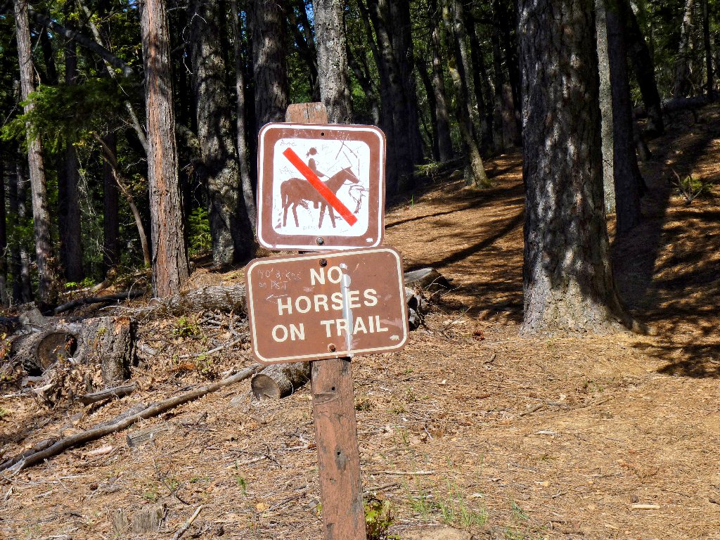
Getting started
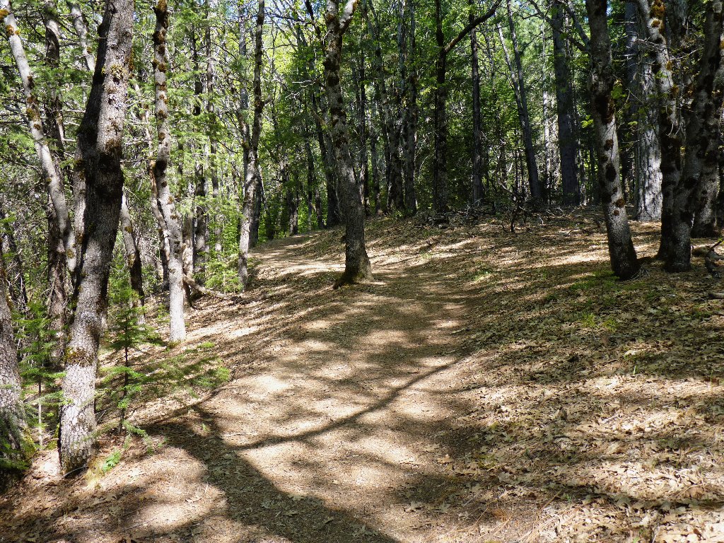
Easy on the feet
The first half of the route is a forested and mellow walk strewn with pine
needles. The muffled sounds of freeway traffic are ever-present
to this point, but eventually they diminish and all but disappear.
There is no avoiding the occasional train whistle, however; but that seems okay.
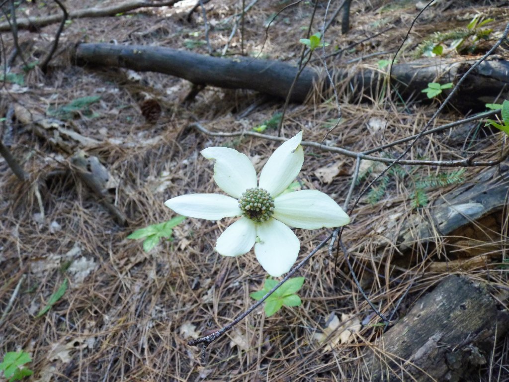
A lone dogwood blossom
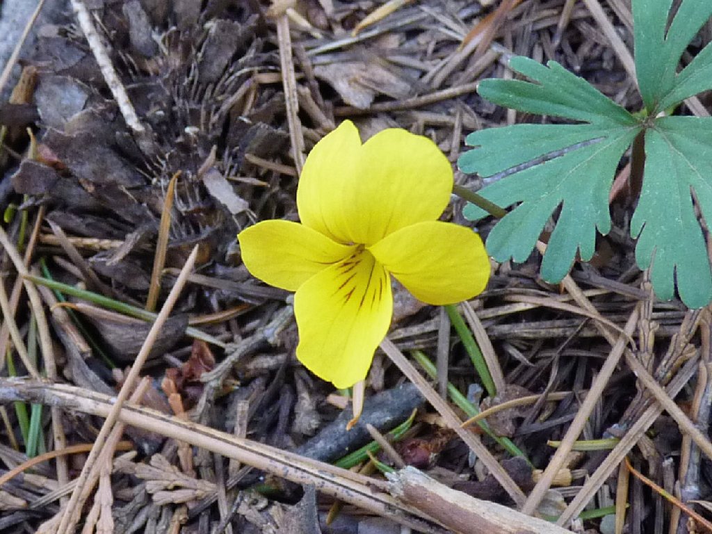
Pine Violet
Eventually I am treated to a magnificent view of a favorite mountain twenty miles to the north.
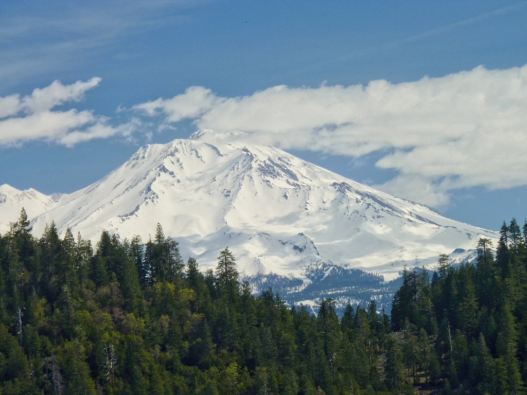
Mount Shasta, 14180' America's second-highest volcano outside Alaska
Amazingly enough, all seven of Shasta's glaciers are still growing,
and they're the only ones in the lower forty-nine states that are.
It seems that, due to a warming Pacific Ocean, this area presently receives
enough additional moisture to offset the overall increase in air temperature;
but this trend is unsustainable, and the mountain's five-billion
cubic feet of ice will have disappeared by the end of the century.
A mile and a half up the trail, I encounter the wilderness boundary. It is here that I make my first rest and water stop, after a thousand feet of mild but steady climbing. Soon afterwards appears a first view of coming attractions.
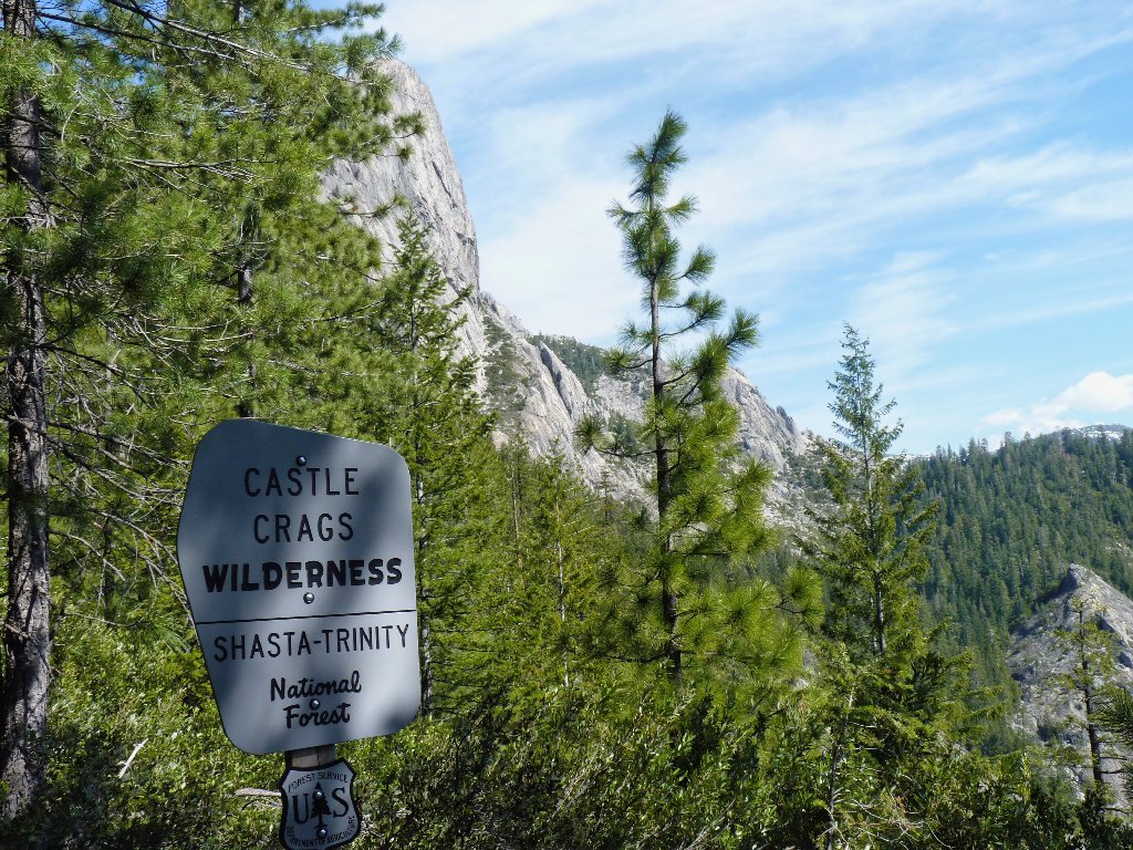
My first visit to this wilderness
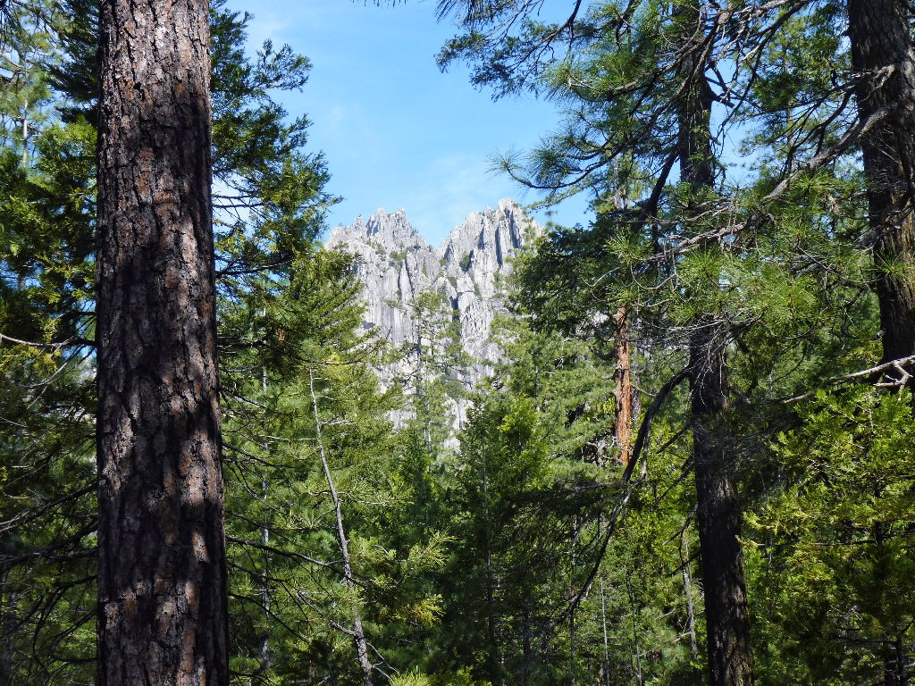
Some crags finally come into view
A scaly resident is disinclined to relinquish its perch on my resting place, which is highly unusual.
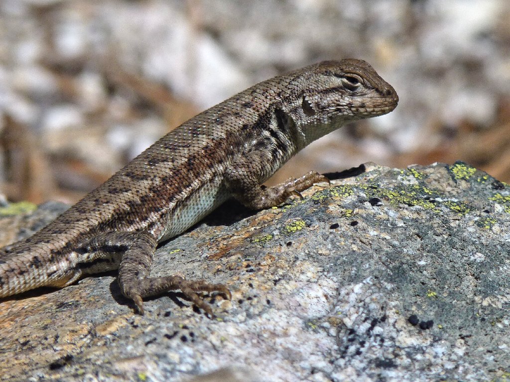
This guy doesn't seem to know that he is supposed to run away
Having been relatively mild to this point, the trail suddenly becomes quite rough for most of the rest of the route. Views of the granite formations become increasingly interesting around each turn.
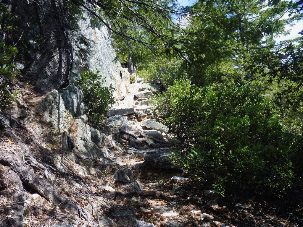
No more easy going
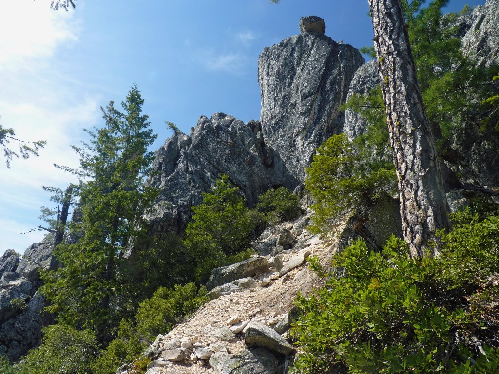
An overhanging, precariously perched boulder
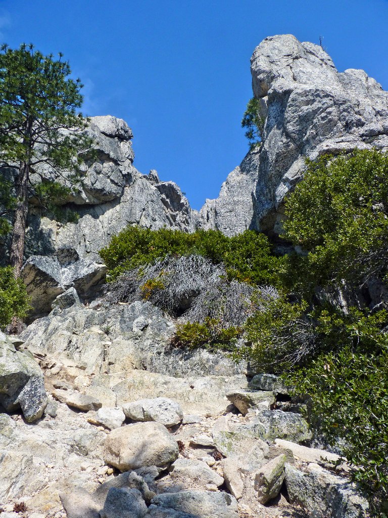
Heading straight up into the chaos
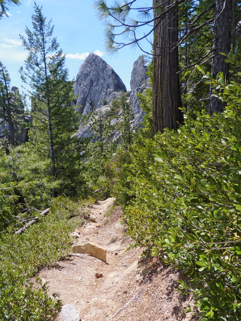
Interesting stuff ahead
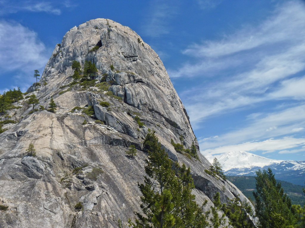
Castle Dome, 4966'
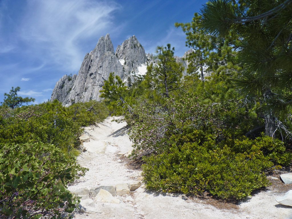
It's like entering Valhalla
Eventually the trail levels out at a relatively flat sandy area overrun by manzanita. This is as far up as one can go without special equipment or webbed feet. The vistas are outstanding!
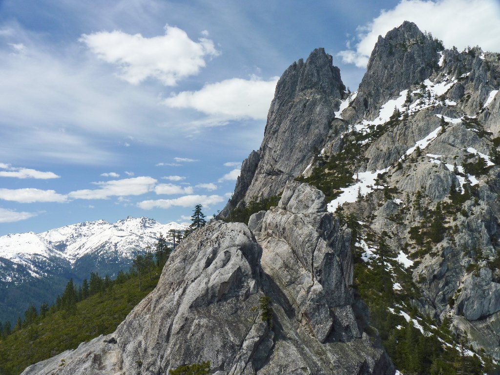
The Trinity Mountains to the west

Interstate-5, a railroad, and the Sacramento River are down there
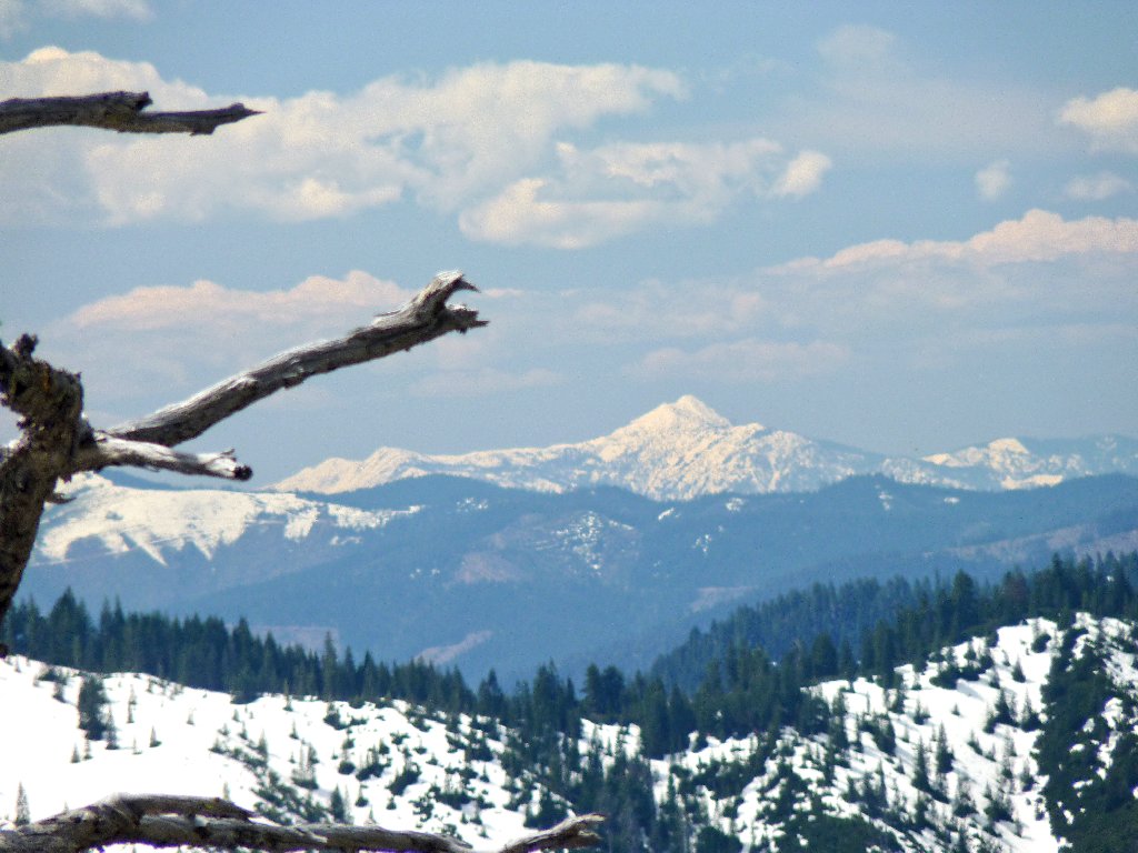
Lassen Peak, 10463', is 65 miles away
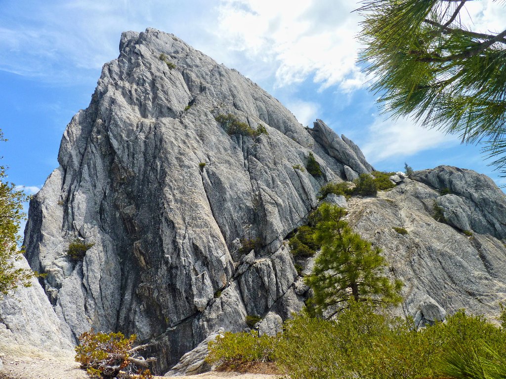
No safe passage up Castle Dome
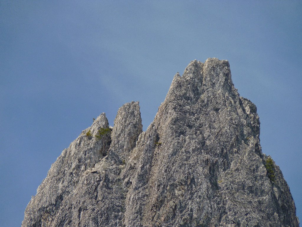
Crag telephoto view
Cell-phone reception happens to be available up here, for a change. After grabbing this unusual opportunity to call to my sweetie at her workplace, I set about exploring this lofty area. Attempts to find a way up to some other high point or other prove fruitless. At the edge of a chasm, however, is this interesting scene:
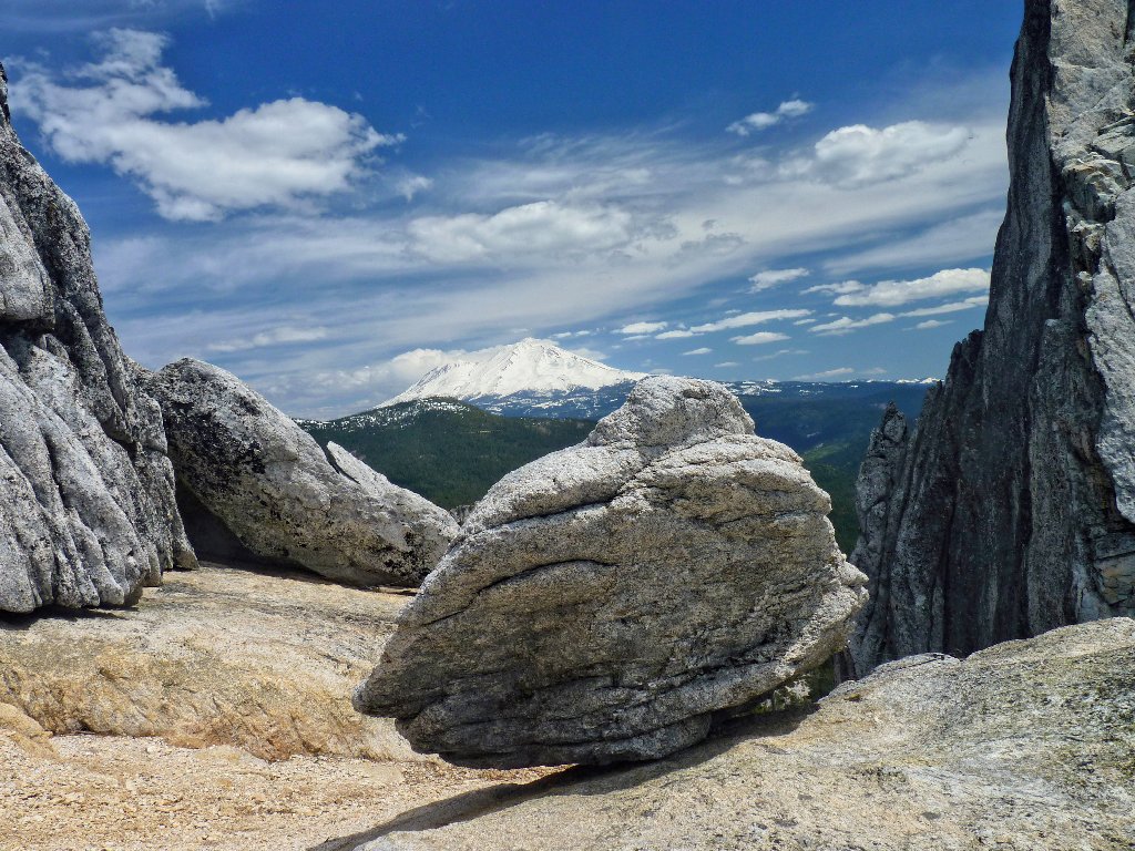
There is an "idiot fence" in place behind the boulder
I scramble to the top of a scary ledge in order to view a beautiful seasonal
cascade. This effort proves unnecessary, however, because a better vantage
point is available from the comfort of a trail. With the aid of a topo map,
I estimate the height of the falls at 1,500 feet. I wish there were a way
to get closer, but today my camera's 18× magnification will have
to suffice.
There are use trails running all over the place in the expansive manzanita thicket, mostly to nowhere. While searching for an alternative path back to the main trail, I end up scrambling in and out of a dry wash. Oddly enough, three hikers are approaching from below using this same route! Go figure.
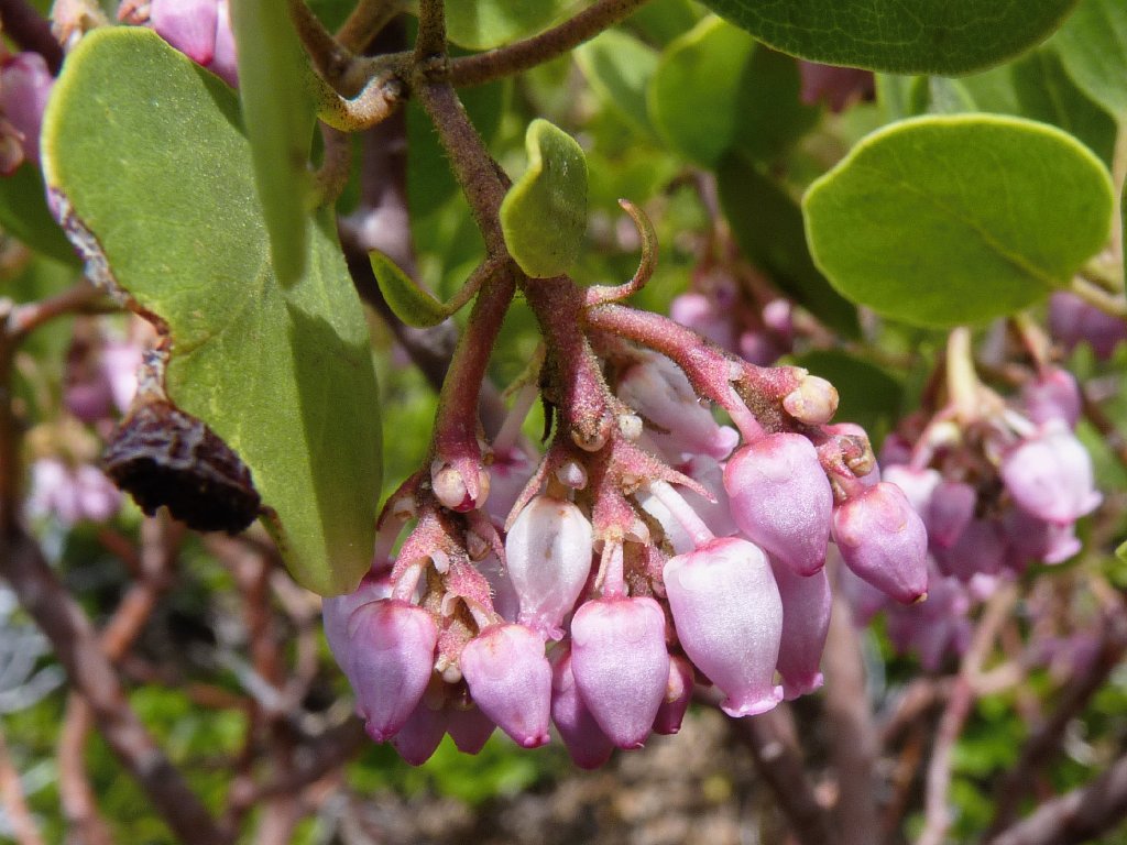
Greenleaf Manzanita blossoms
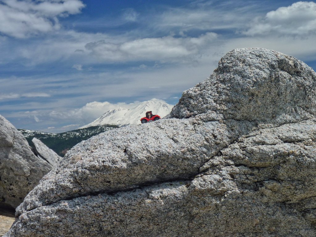
Somebody took the easy way up here
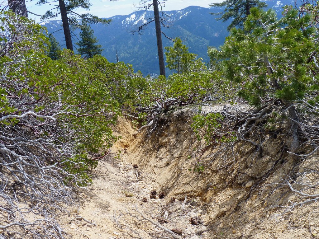
The path of least resistance
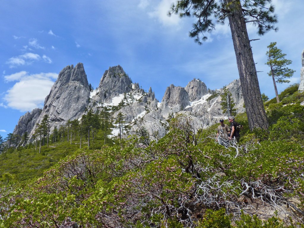
Two hikers by the big tree
As usual, the route looks somewhat different on the way down. In fact, portions of it have become spectacularly more interesting:
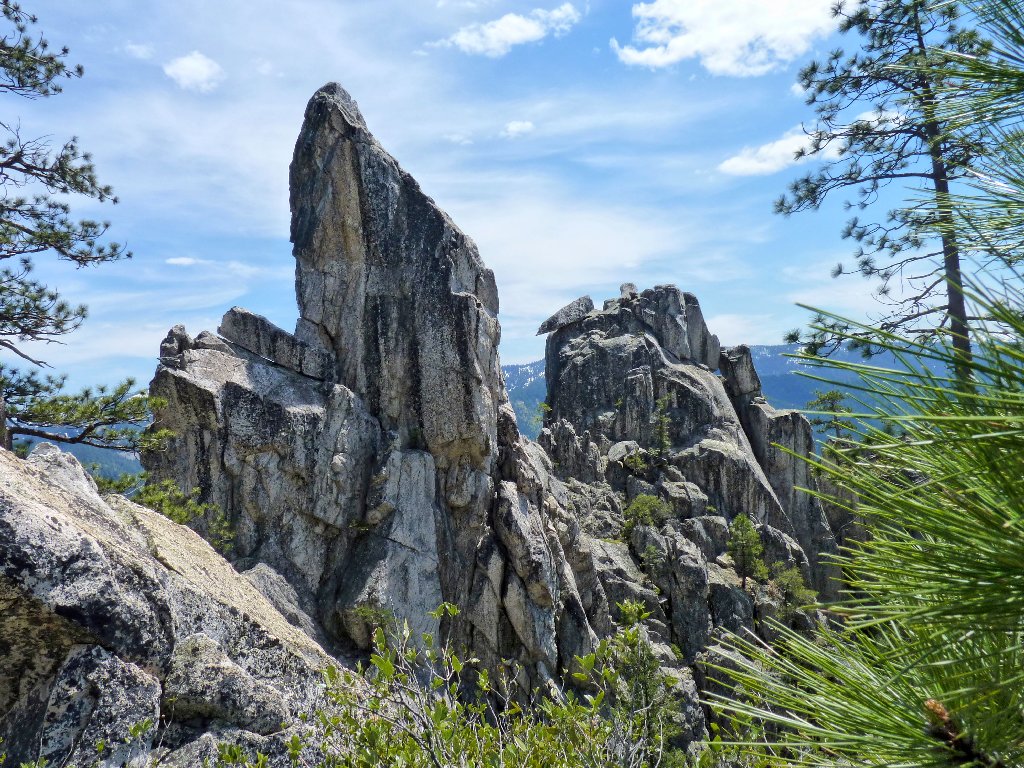
A sode-view of the pointed "precarious" boulder
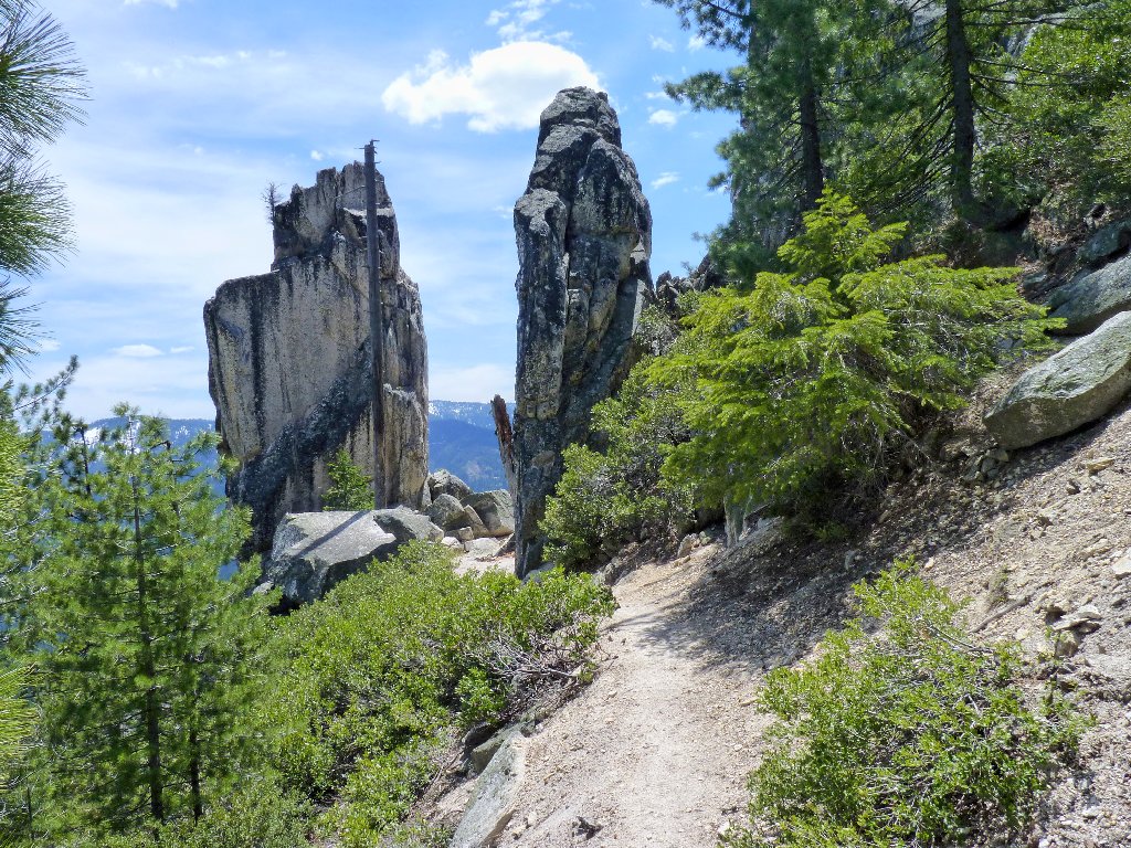
Back at the gates to the home of the gods
Hardly any flowers are out today; it's too early in the season. One that I do find is pretty special:
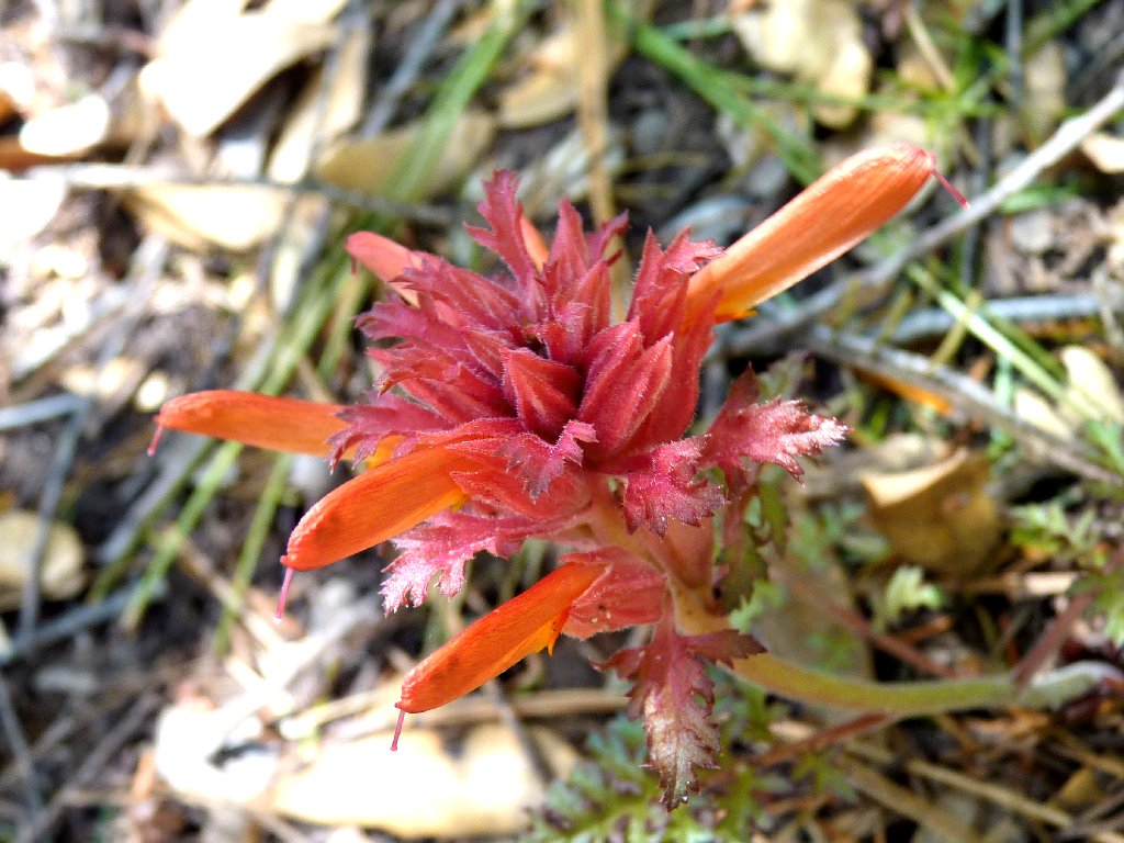
Indian Warrior — an early-season regular
About a mile from the trailhead, I am treated to the sight of a mama black bear and her cub crossing the trail about 200 feet ahead of me. I stop to watch them pass. Efforts to photograph the animals are largely unsuccessful, because they never stop moving.
Just as I start out again, a second cub walks onto the trail. It stops,
peers at me wide-eyed, then scurries down the hill toward safety.
It seems unlikely that mother bear ever spotted or got wind of me; otherwise, she
probably would not have acted so nonchalantly with one of her babies lagging behind.
Fifteen minutes later, my walk is finished.
Mama and her cubs head down toward Rock Creek
§: The Castle Crags are unique. Outside the Black Hills of South Dakota, I know of no other rock formations similar to these that are reasonably accessible. The splendid views, perfect weather, and an exciting encounter with ursus americanus have made this a memorable day.
It would be truly spectacular if the trail system were to extend farther into the fascinating granite jumble; for only a fraction of the region ever is visible from this, the only maintained trail that actually approaches the domes and spires. I fear, however, that such a scenario is but a pipe dream, and that the virtually inaccessible remote crags are destined to remain the exclusive playground of rattlesnakes and serious rock climbers.
| Scenery |  |
| Difficulty |  |
| Personality |  |
| Wildlife |  |
| Flowers |  |
| Solitude |  |