
Mokelumne Wilderness
 |
Emigrant Lake Mokelumne Wilderness |
September 13, 2010
This trek leads into the land of brave pioneers, covered wagons, and
occasionally hostile Indians. The first two miles of trail parallel
the southwestern shore of Caples Lake — which is not a lake at
all, but a big reservoir. Today, though, the usual plethora of fishers
is absent. Perhaps the strong gusts of wind are a deterrent to standing
in cold water all day long.
Easy walking for Ali and me
The trail itself is unexpectedly green. Although not many flowers remain this late in the season, there is a wealth of ground cover under the forest canopy.
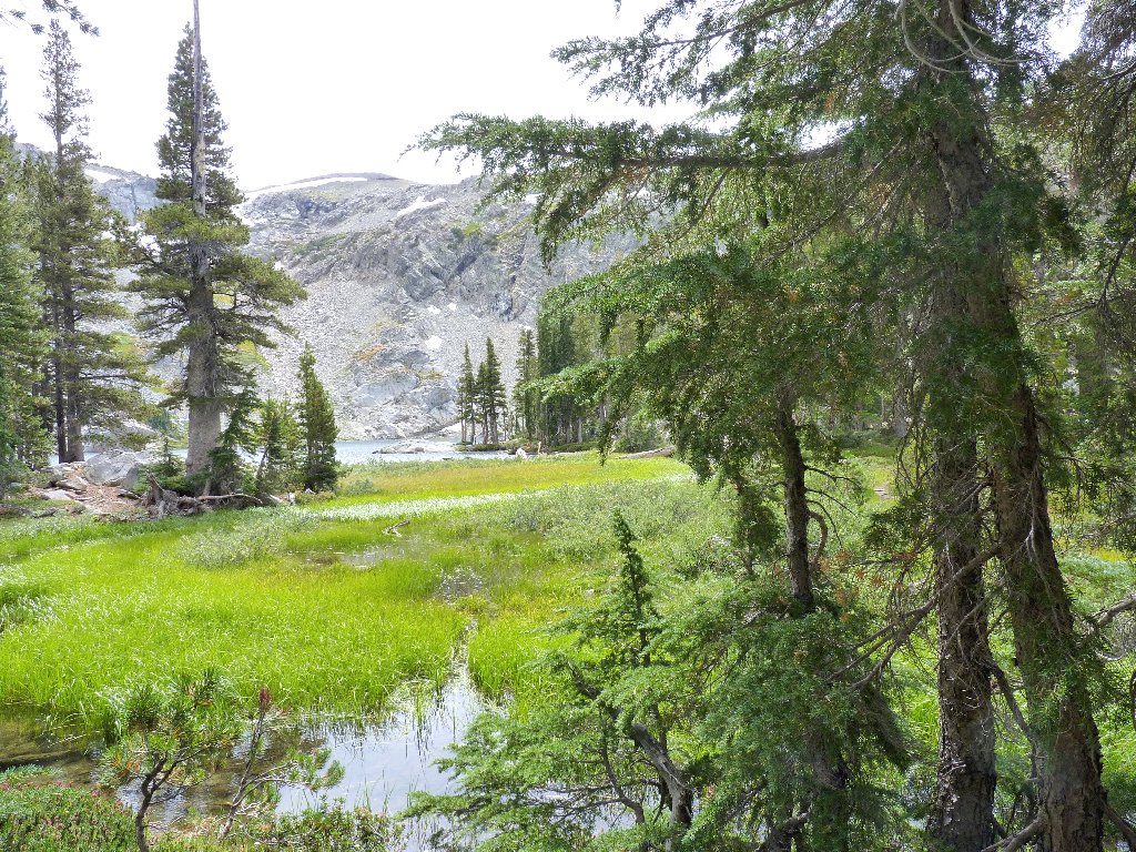
The southern tip of Caples "Lake"
Traversing the Emigrant Trail was not on today's agenda because, according
to both of my newer maps, there is no connecting route to our destination;
but perhaps something can be done about that. Meanwhile, partner Ali and I
continue straight ahead on the main trail, after I ditch my outer sweatshirt
behind a nearby rock. It is not really cold — just windy.
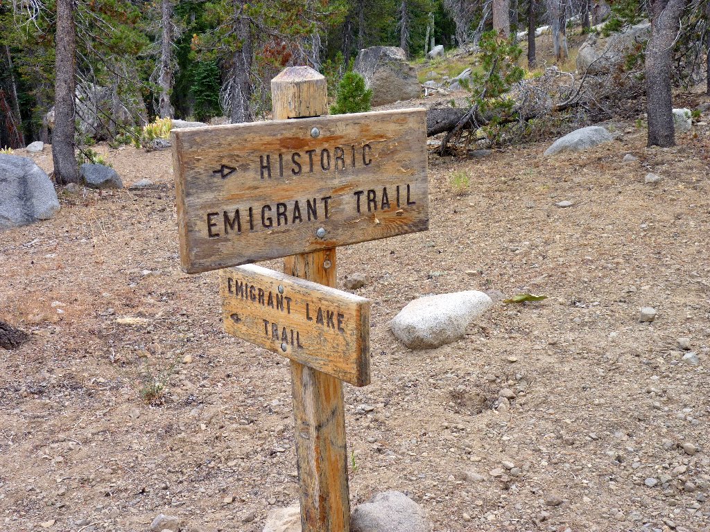
Fancy junction sign
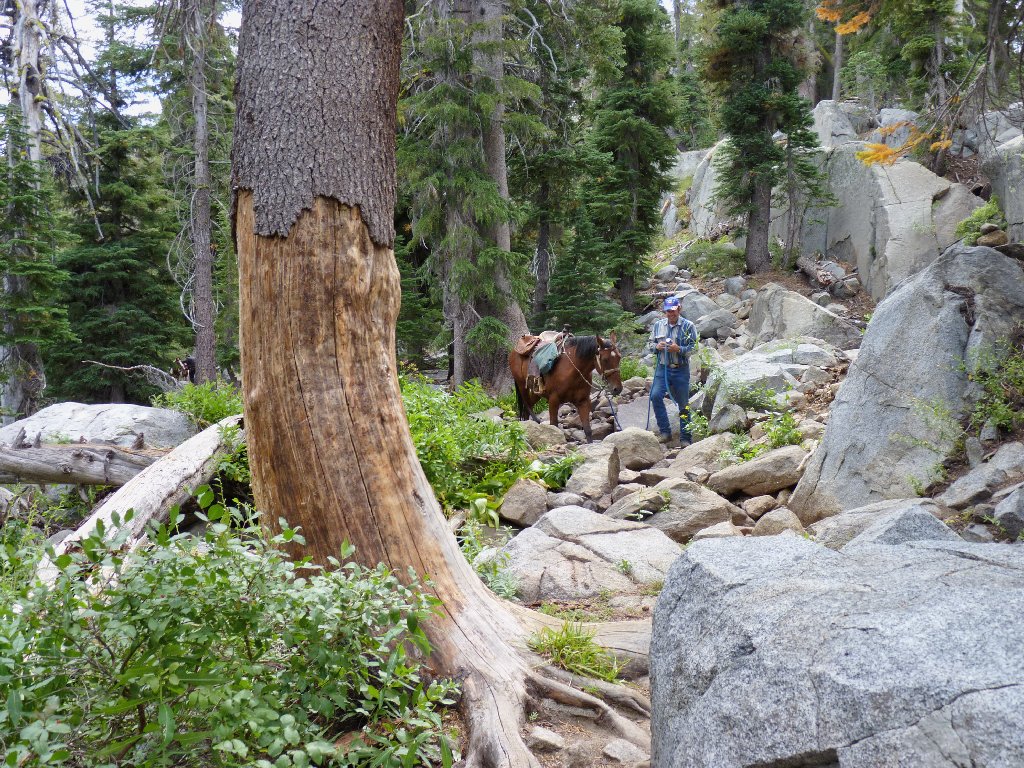
This man is walking his horse across the creek
After the first equestrian has passed, a second horseman comes along, but does not dismount. The horse slips and slides its way across the boulders with some difficulty, which is not surprising considering the size of its rider. We don't think that that was very nice of the man at all.
After a series of switchbacks and the only real climb thus far, we surmount the terminal moraine that holds Emigrant Lake in place. It is beautiful here, as expected.
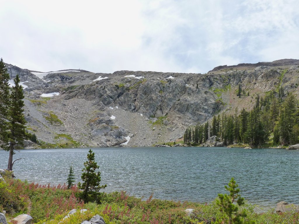
Emigrant Lake, Melissa Coray Peak on the left, Covered Wagon Peak on the right
It would be much nicer here right now without the strong wind and nearly total cloud cover. The imperfect weather, however, does not prevent Ali from performing his standard sunbathing routine at our lunch stop.
The Clark's nutcracker in the telephoto shot, named by William Clark of Lewis & Clark fame, is quite a remarkable species. It is known to keep as many as two hundred or more food caches; and unlike your family mutt, it can remember them all. It also is the only animal that spreads the seeds of the whitebark pine tree, which otherwise would cease to exist.
Creatures of nature doing their thing
Mountain peaks border the lake on all sides. There is access to some of them
via cross-country and other trails, but that's the stuff of another hike.
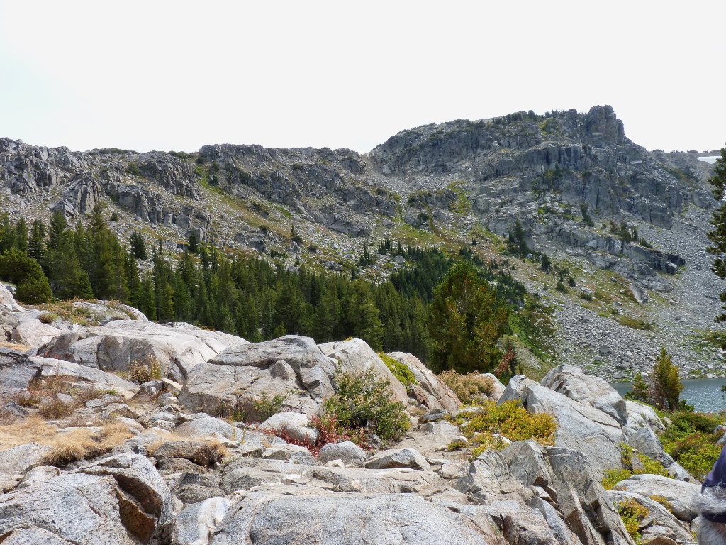
Peak 9275
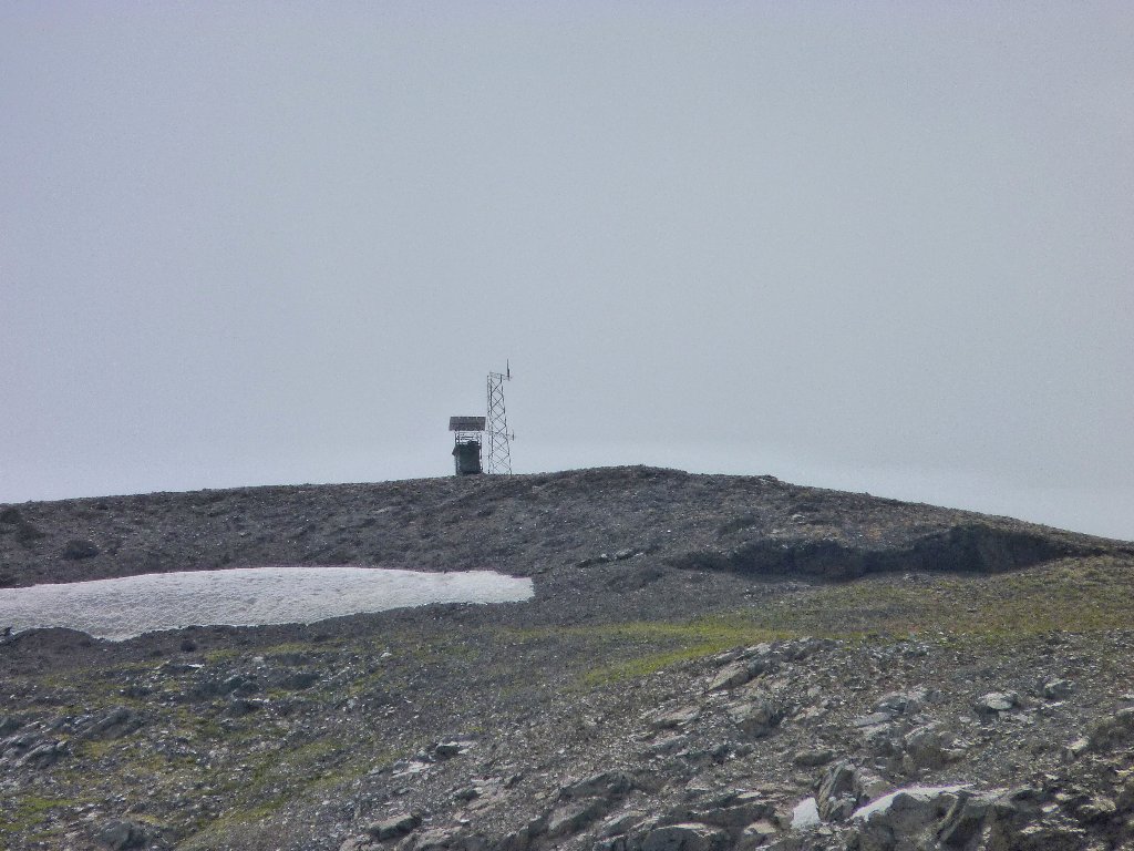
Radio tower on Melissa Coray Peak, 9795'
Emigrant Peak was officially renamed as Melissa Coray Peak in October of
1994, in honor of a remarkable pioneer woman who helped to blaze the original
Emigrant Trail. Between it and Covered Wagon Peak, at about 9,400 feet,
is a plaque denoting the elevation high-point of the pioneers' route.
See the footnotes for a highly interesting account of that epic journey.
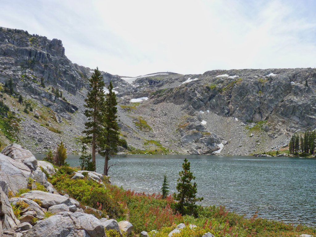
The original Emigrant Trail traverses the top of the cliff on the right
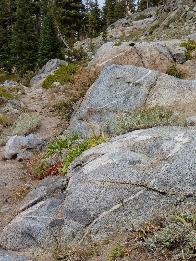
A 3-tiered dike in the granite
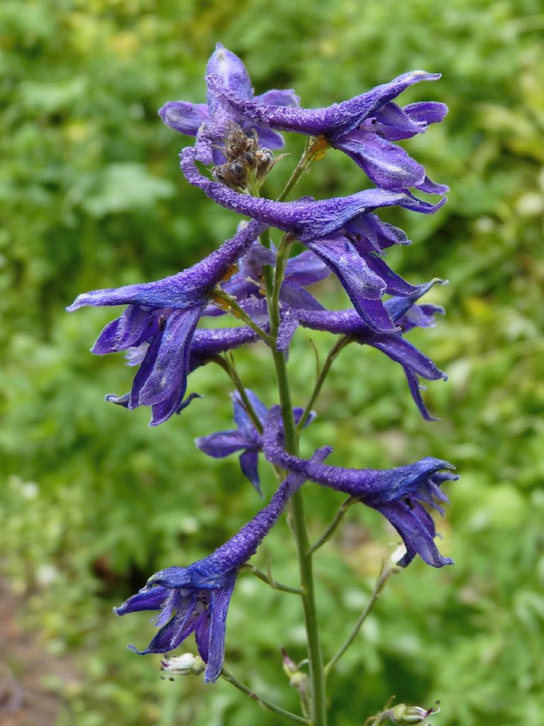
Larkspur
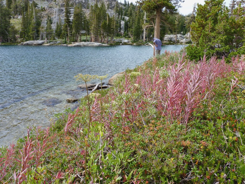
Looking north
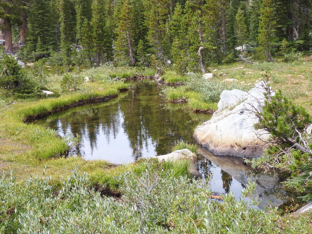
Emigrant Creek near the outlet
It is completely overcast now. There will be no blue-sky
backdrops for photos of the nearby peaks.
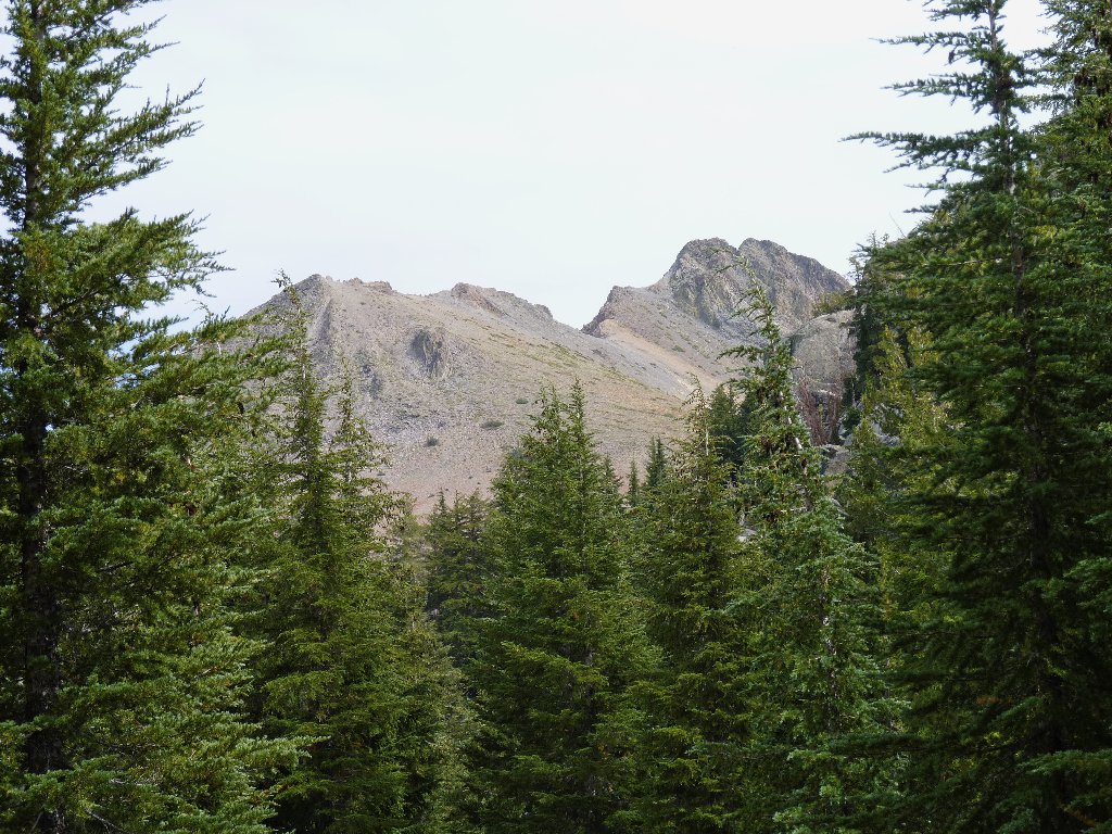
The Sisters, 10045' and 10158', are a mile or so to the east
Today's trail, comprised almost entirely of duff with just a couple of short rougher sections, has been a joy to traverse. That is good, for this is shaping up as one of my longest walks in years.
Mellow going
At the bottom of the switchbacks is a spot where I had anticipated the
possibility of a relatively flat cross-country venture over to the
Emigrant Trail and some new scenery. To my surprise, a signed spur
trail is waiting for us. Wonderful! The marker points toward
Kirkwood Meadow, but we shouldn't have to go quite that far.
As Ali and I contemplate our options, a few raindrops fall, but we mustn't
let that deter us. Within ten minutes, this pleasant but little-used
route brings us to the base of a Kirkwood ski lift, at a place denoted on the
map as Emigrant Valley. The two of us turn north onto a maintenance road,
which doubtless leads back to Kirkwood Village. Not wanting to hike way
over there, I watch anxiously for an indication of the old trail.
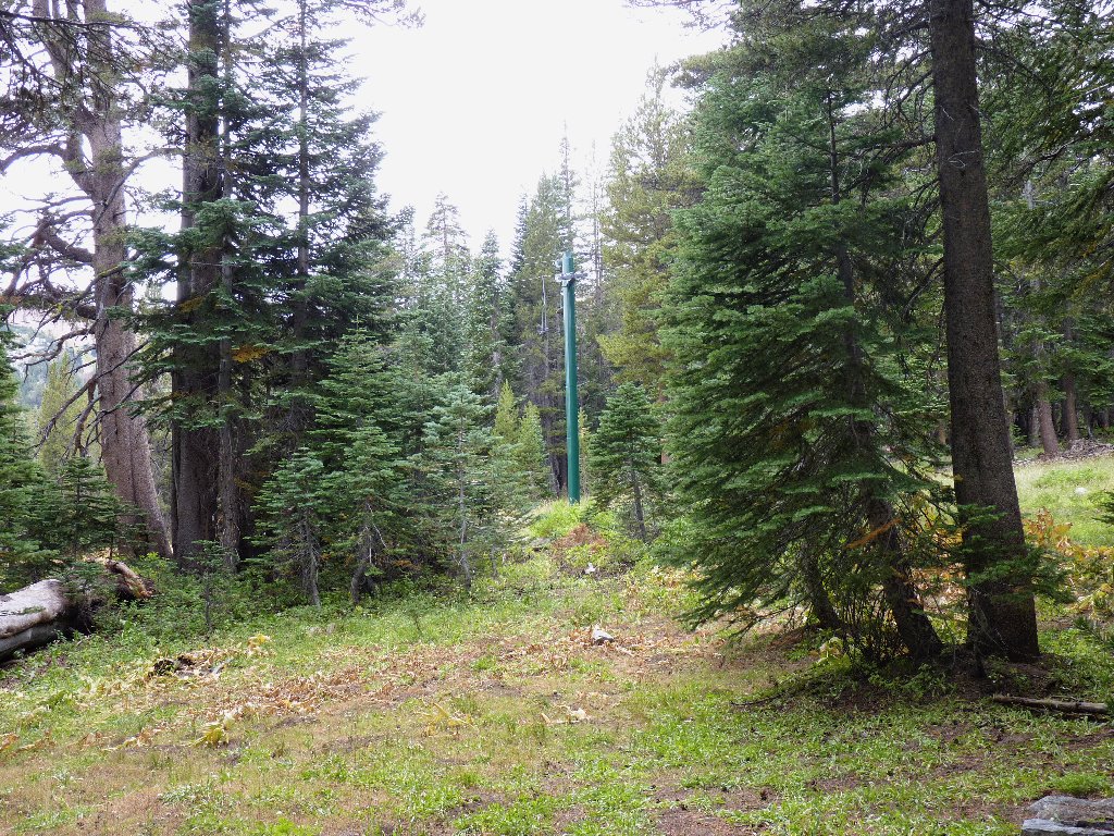
Kirkwood ski lifts
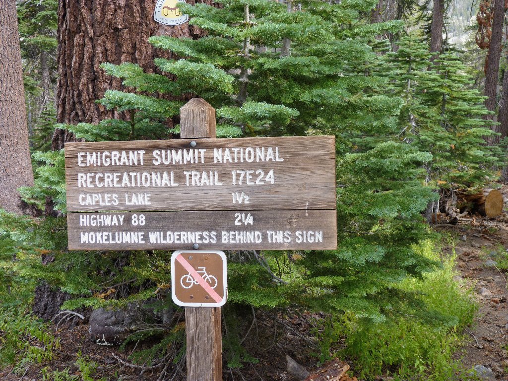
Not lost after all
Within a quarter-mile a magic sign does appear, making us very happy.
Now we are on the historic Emigrant Road! Even this trail segment appears
to be relatively little-traveled, which is a shame; for it is quite
pleasant. Posted on trees are signs, both new and old, reminding us of what
transpired here 164 years ago. Unfortunately, there are a couple dozen of
them within just over a mile — more than enough to be redundant and
somewhat irritating.
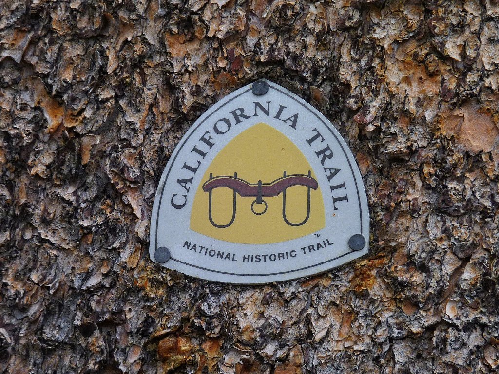
This marker is relatively new
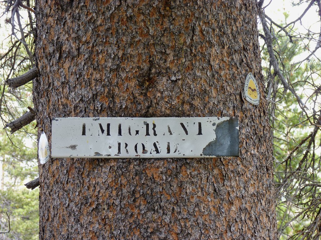
This metal sign must be 50 years old, or more
After a final long downhill traverse toward the big lake, I pick up my hidden sweatshirt at the junction. Pretty good planning, eh? Within half an hour we are back at the trailhead.
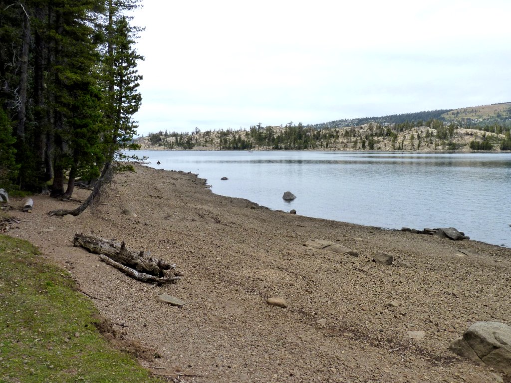
Caples Lake is somewhat depleted this late in the season
§: The friendliness of this trail more than compensated for any flaws
in the weather. This has been a memorable outing in an area rich in American
history. Our semi-loop option, which I highly recommend, added less
than one quarter of a mile to the trip distance. It is a shame that no other
hikers cared about this place today.
| Scenery |  |
| Difficulty |  |
| Personality |  |
| Education |  |
| Solitude |  |

Click on the following links for some fascinating historical information: