
Zion National Park
 |
The Subway Zion National Park |
September 30, 2010
On the drive up to today's trailhead, I am treated to the unusual sight of an untethered llama galloping down the highway. Half a mile farther on at a ranch gate, a man holding a length of rope is staring down the road. He is going to have quite a time catching up with that guy.
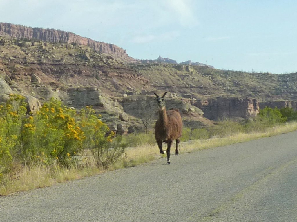
Free at last
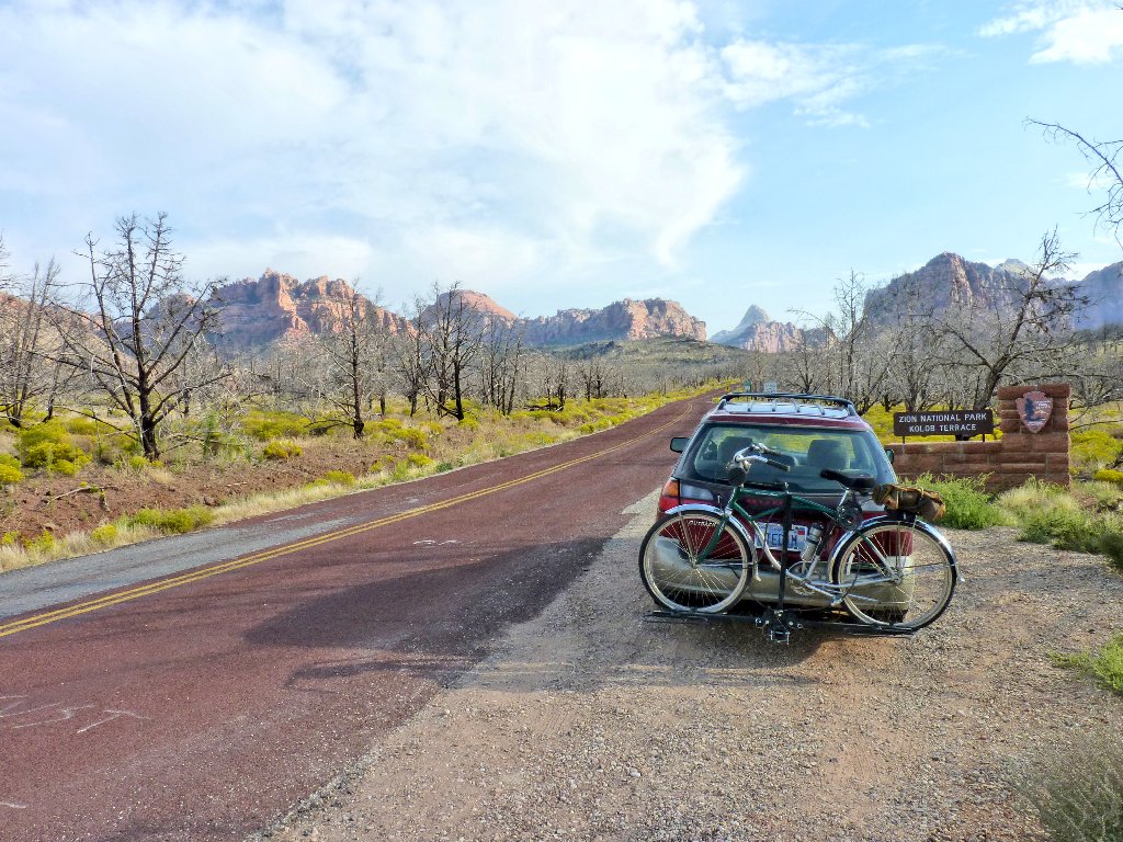
At the park border
Only 80 humans per day are allowed into this remote area of the park.
I secured a permit many months ago via the online lottery. This is in part a
canyoneering route, but I expect to avoid the upstream portion that requires ropes and
some swimming. After a mile-long access trail there will be numerous stream
crossings, lots of boulder-hopping, and doubtless a hiker-created path
or two. It is going to be quite hot today; I hope that that fact does
not create a hardship.
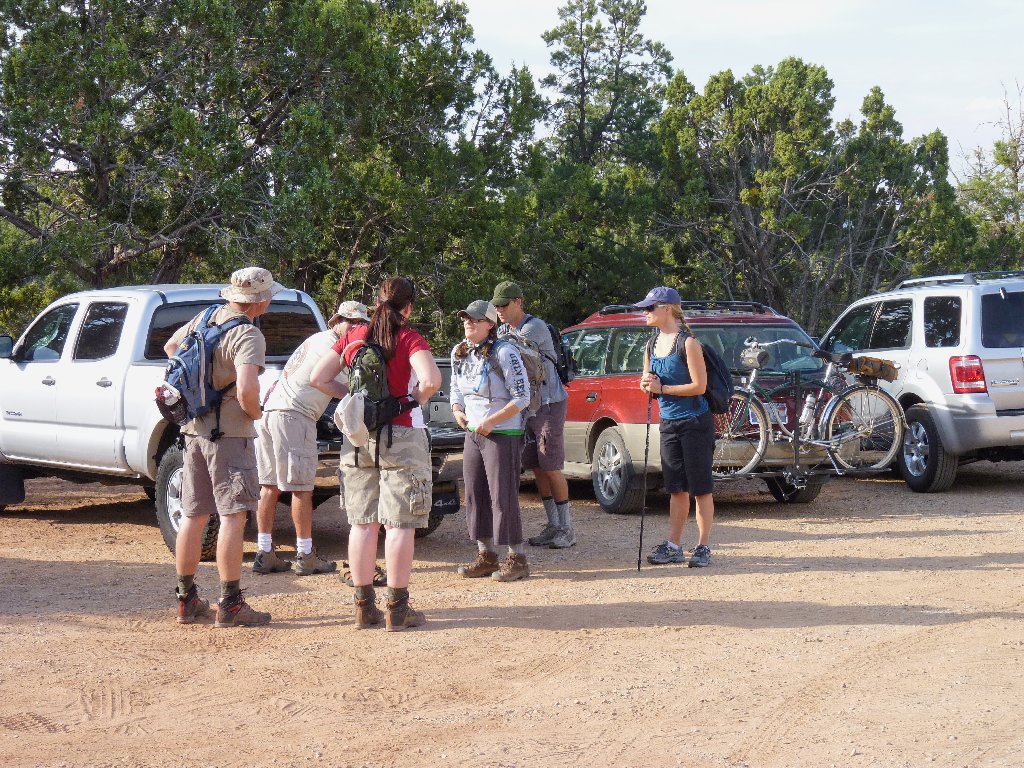
The woman is explaining why she was ninety minutes late
The first half-mile is a stroll in red clay. At the edge of a cliff, the going becomes steep and very rough. Four hundred feet down lies the canyon bottom and, I hope, a channel with some water in it.
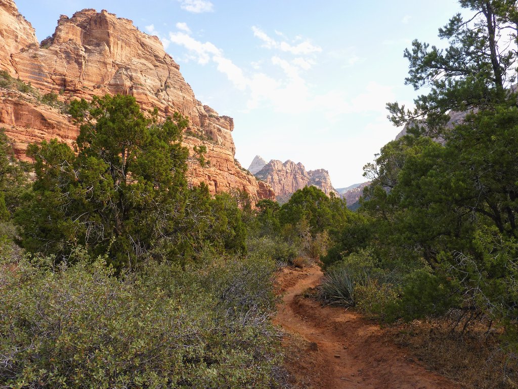
Start of the trail
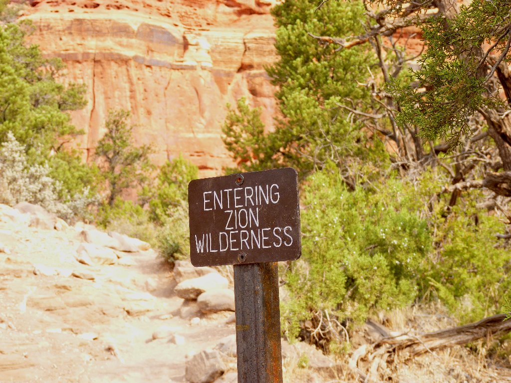
No bikes or doggies in here
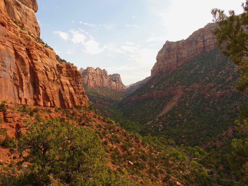
Today's venue is Great West Canyon
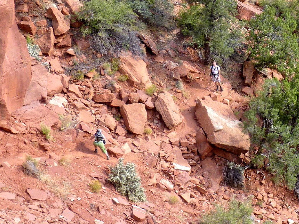
She is having difficulty already
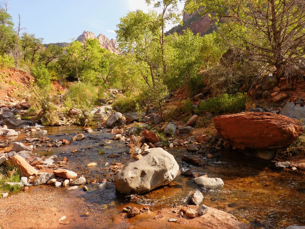
Left Fork of North Creek
Water is indeed flowing, but not too heavily, which is perfect. Despite the lateness of the season, there are lots of flowers around, many of which are unfamiliar to me.
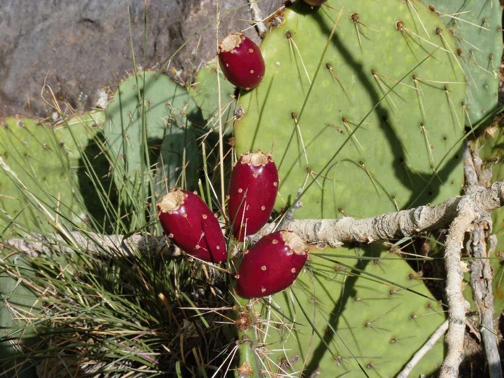
Prickly Pear Cactus
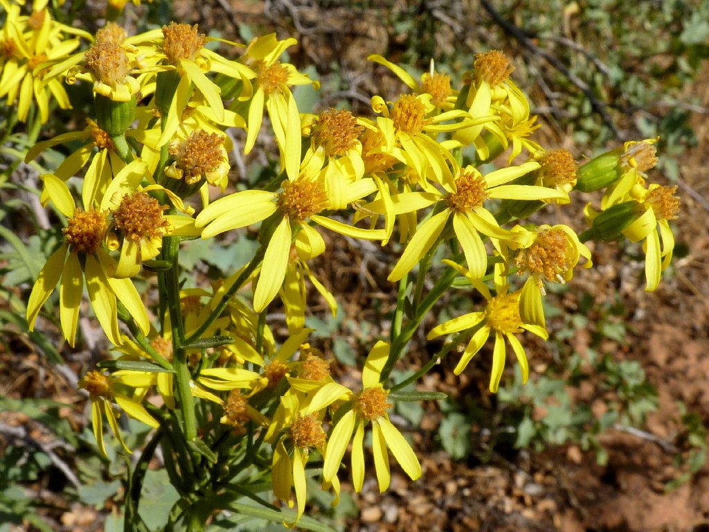
Arrowleaf Balsamroot
Short sections of use trail are running all over the place; and oddly enough,
they are color-coded. The 'white' routes are comprised of
river-bottom sand, and can be counted on to remain near the creek; whereas
the 'red' routes branch off steeply up one hillside or the other in order
to circumvent some sort of obstacle. It seems right to stay in a white zone
as much as possible.
Often the 'obvious' path necessitates a stream crossing, which is easy enough in light of the low water flow. Whenever I am forced to veer up a hillside, the trail invariably is steep and rough; unfortunately, it always reverts equally steeply back to creekside. Every such detour takes its toll of energy consumption and wear and tear.
Without having been here previously, it is impossible to know the best way to go. The obstruction in the following photo probably could have been avoided; but as long as I already am here, it seems easiest just to clamber over it and press on.
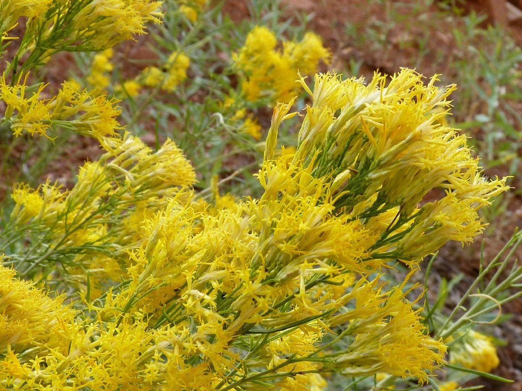
Rabbitbrush
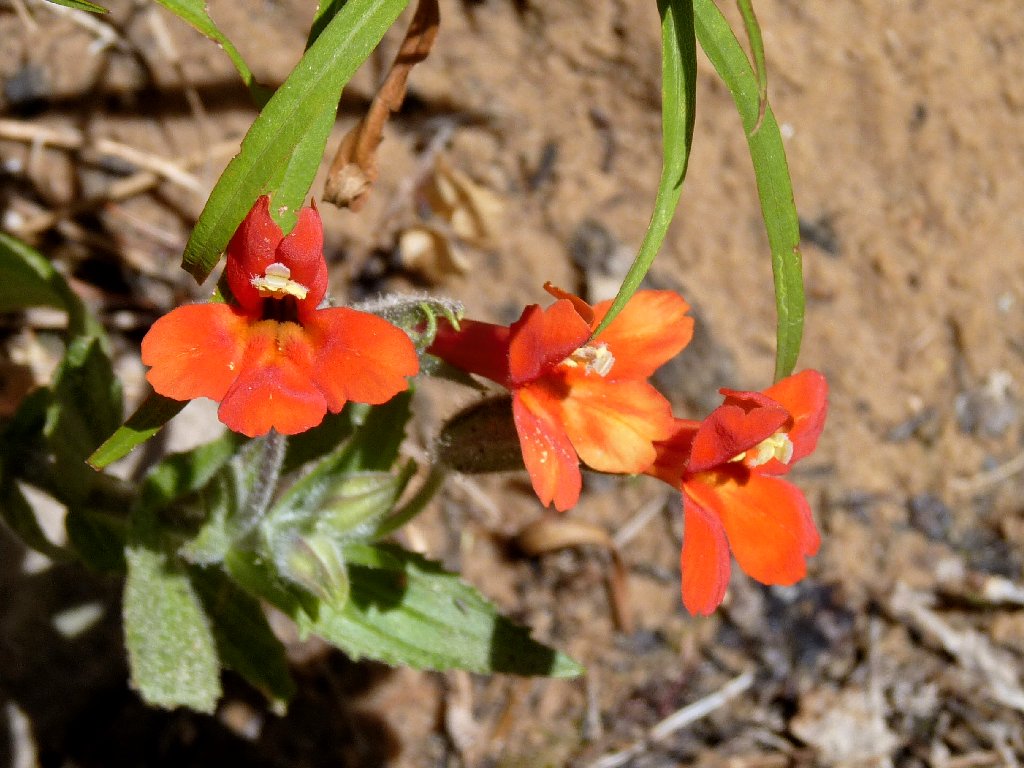
Scarlet Monkeyflower
The sun has not yet appeared over the southeast canyon wall. This is good; for the more time that is spent in the shade, the better.
After a couple miles of scrambling, the stream becomes really interesting.
At frequent intervals the water tumbles stairstep-fashion down red sandstone
slabs. This section of creek is informally known as the Archangel Cascades.
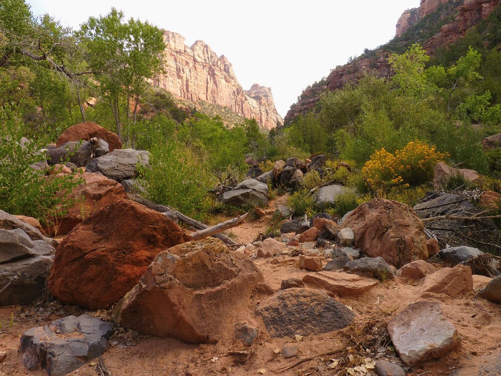
The shade is welcome
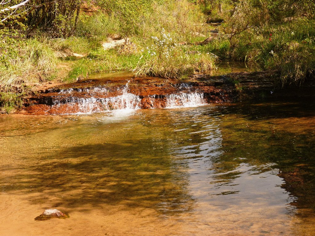
The first little cascade
Despite the quota on visitors, I already have seen a dozen hikers.
This trail actually is busier than many, because all eighty permit-holders
are occupying a limited space at approximately the same time.
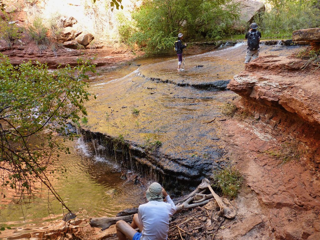
The photographers are concentrating on the drippy sections
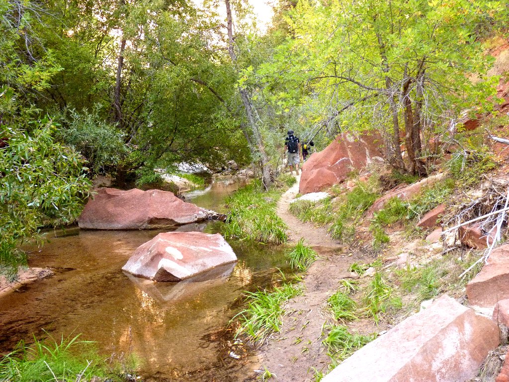
A nicer trail segment
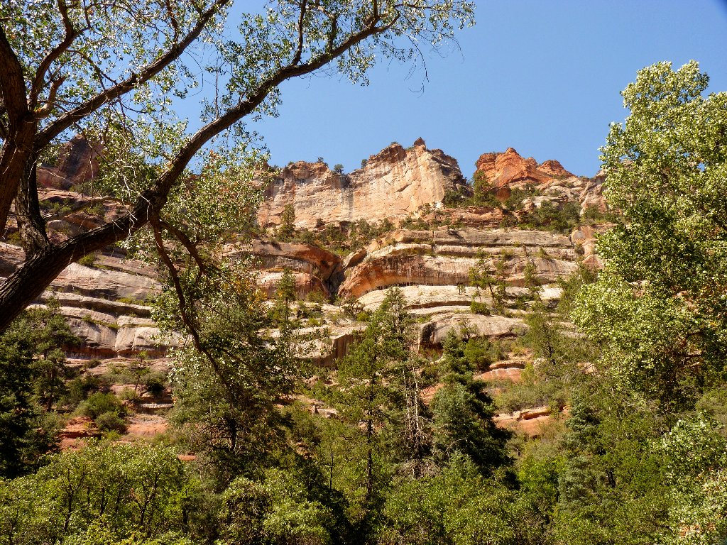
The north canyon wall
Near the falls, walking in the creek itself is the easiest way to go.
There is only about a quarter-inch of water on the slabs, and my boots
aren't slipping at all. Tramping up the middle of the stream is a delightful
experience, and it is easy to access the best vantage points for photographs.
The lizards around here are tiny — about four inches long. The frogs are diminutive as well.
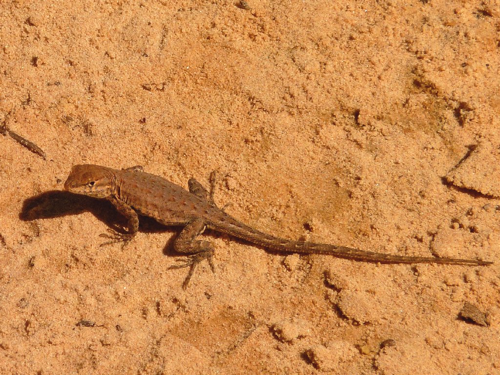
Side-blotched Lizard
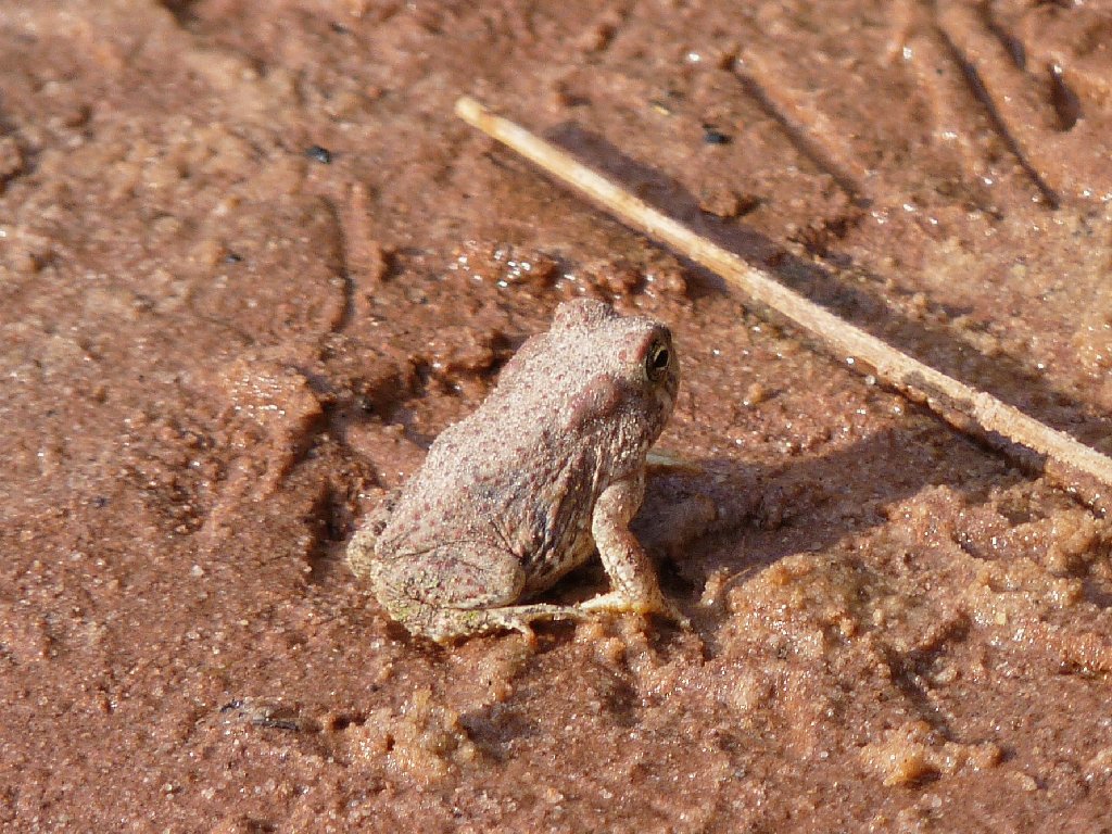
Arizona Toad
I must be getting close by now. It really doesn't matter, though,
because this walking-on-water business is exhilarating. I could
do it all day.
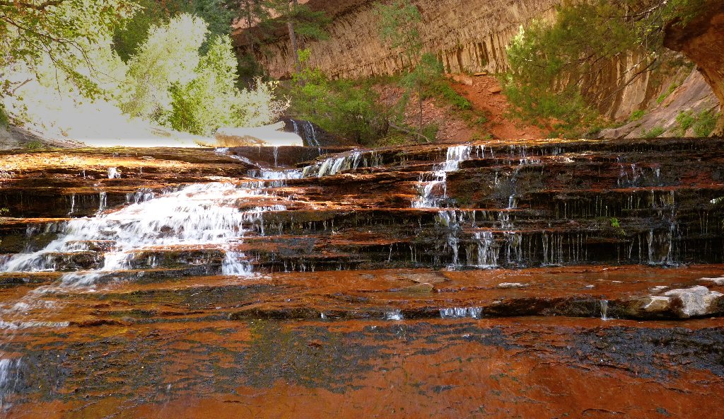
Can it get any better than this?
I opt for the trail that hugs the pretty canyon wall, which proves a scenic choice.
The next attraction is a creek configuration so unusual that I have not seen the like of it before. Most of the water is flowing in a channel just a few inches wide. Little green potholes add to the spectacular effect.
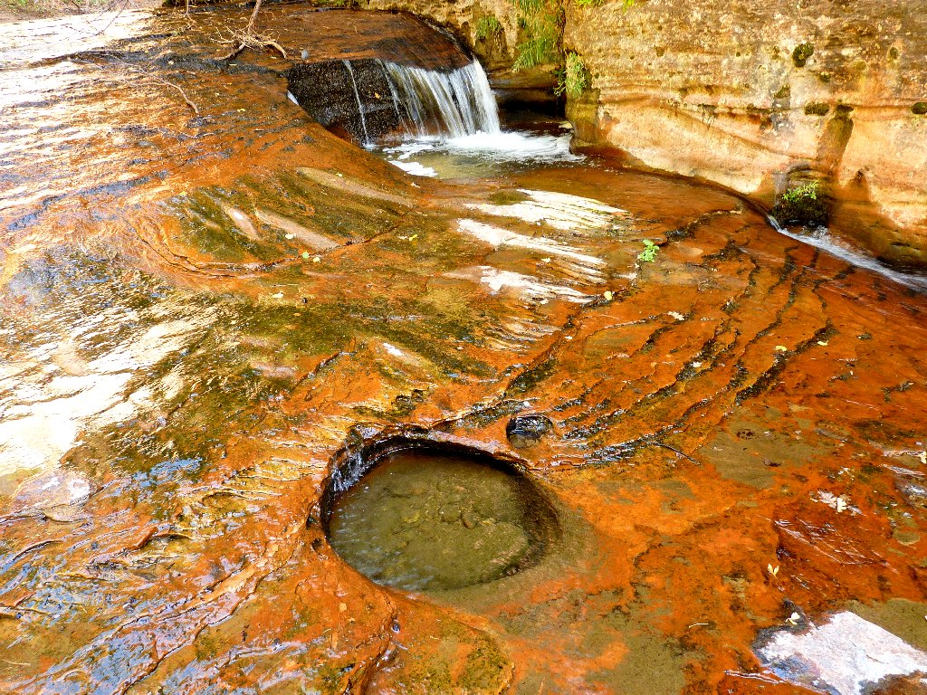
In retrospect, I should have thrown some water on those dry spots,
for a nicer photo
Around the final corner is a group of eight intrepid souls who are doing the
top-down approach to this canyon. For that trek, holding onto a rope
is required to safely negotiate a couple of moderate dropoffs.
Cold-water swimming also is necessary. Those folk are doffing their
wet suits as I arrive, preparing to continue downstream.
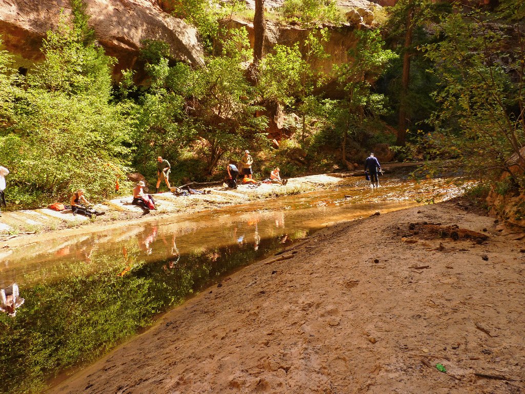
The canyoneers
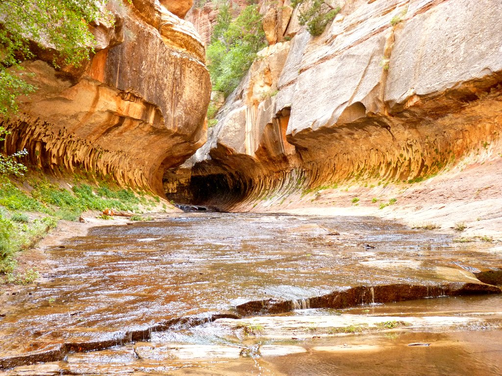
First view of the Subway
As if I had not seen enough already, it is gravy time.
The keyhole-shaped entrance beckons.
Once inside the tunnel, I immediately begin snapping my shutter frantically.
A number of other photographers, one sporting some really high-powered
equipment, have similar ideas. The spot where they are congregated represents
the end of the line for non-amphibious visitors. More nifty pools
and even a 'waterfall room' are nearby, yet those features cannot be accessed except
by swimming to them.
I never have visited such a fascinating place.
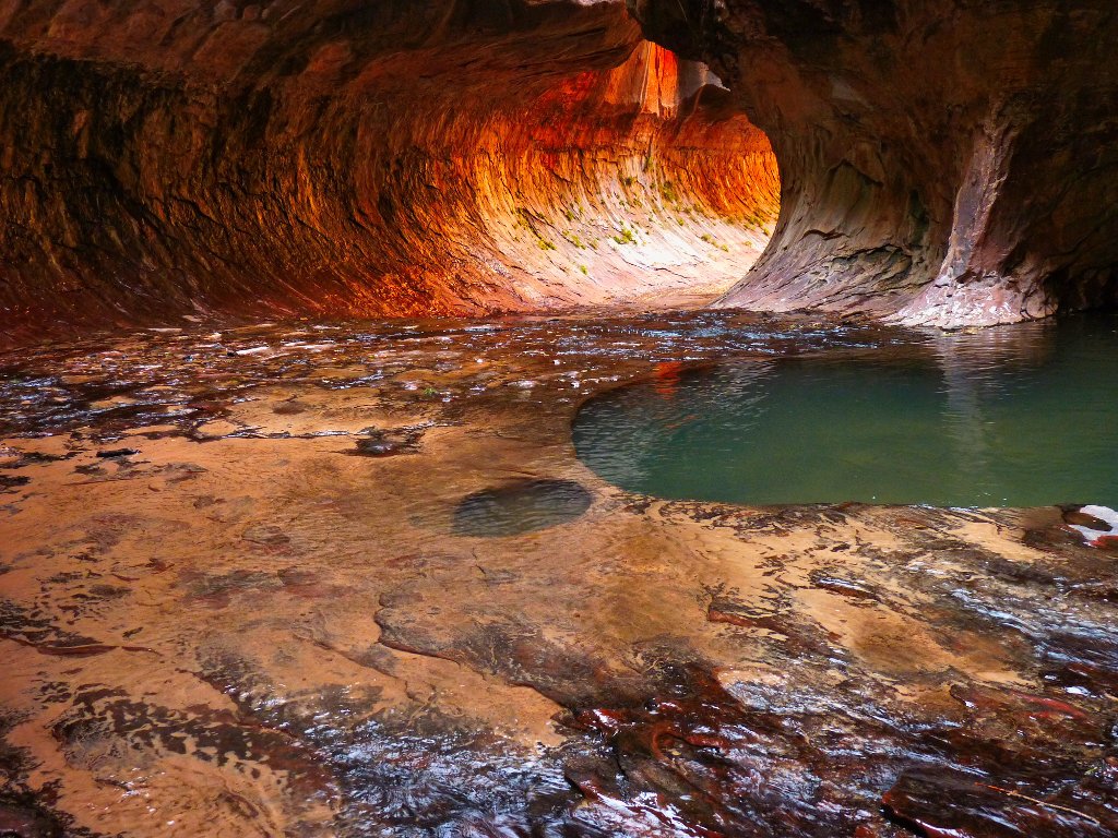
This quintessential Subway shot now hangs over my fireplace
It is something of an anticlimax to reveal the Subway's true structure, for this room actually has no roof at all! But I like it better when the photos make the place seem more like a cave.
I hang around for about an hour, chatting with photographers and watching
other visitors come and go. Eventually the sun should flood this room,
but I don't see how that would improve the scene. Knowing that having
achievement of the primary goal of my 1,500-mile mission has rendered
it an unqualified success, I head for the exit.
A couple of hikers entering the tunnel spot my camera pointing their way, and they graciously attempt to scurry out of view. Being finished here, though, I wave the men forward.
On the return route I must revisit some of the best spots.
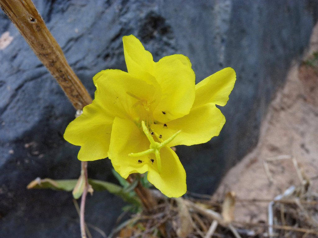
Bronze Everning Primrose
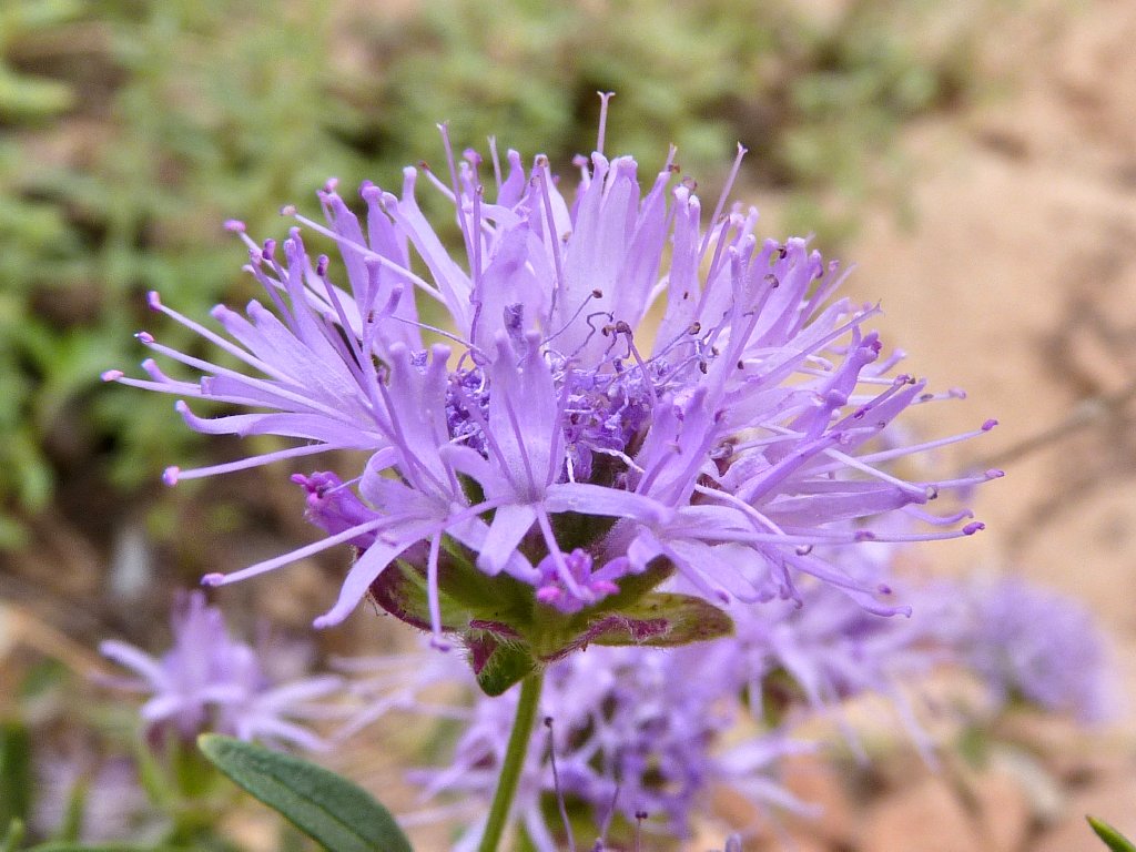
Pale Monardella
A little school of fish is hanging out here
The moist areas feature a lot of cardinal flowers, which sport the prettiest color I have seen on a plant. My photographs are inadequate in this regard.
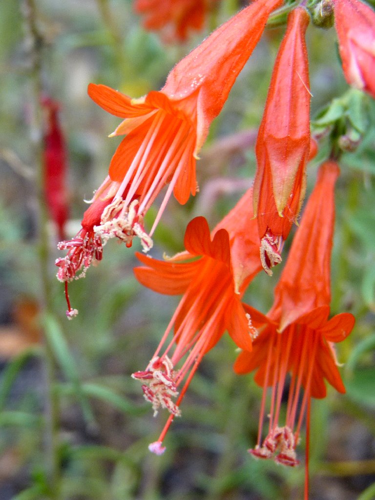
Hummingbird Trumpet
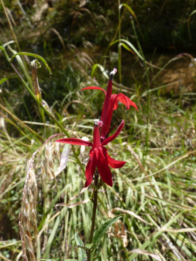
Cardinal Flower
The return hike seems somehow easier, although the choice of routes remains confusing. One couple asks from across the creek whether I am on the 'right' trail; but all I can do is to smile and shrug my shoulders.
I am quite weary now. Because of the debilitating air temperature, this trek is proving more difficult than I had anticipated. I simply don't fare well on the trail when it is so hot. I am stopping to rest even on flat sections, which ordinarily never happens. I haven't heard any complaints from other hikers, though.
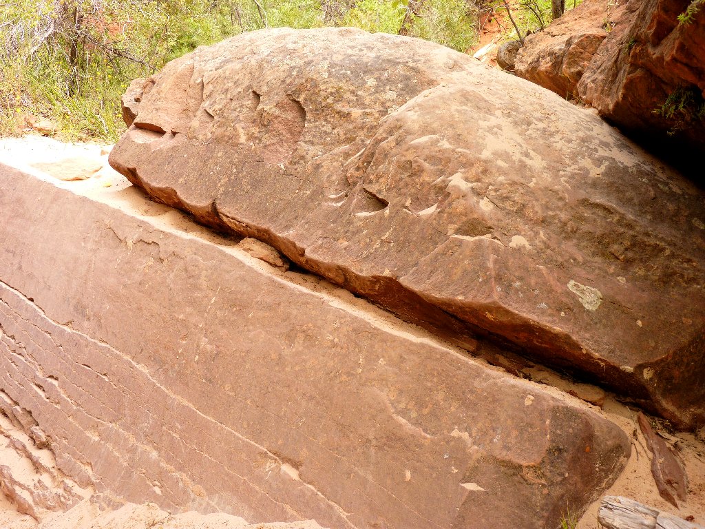
That crevice is the trail
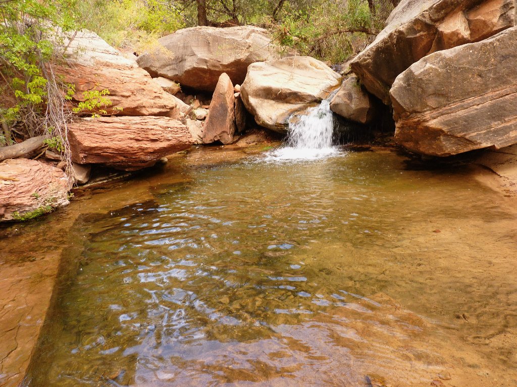
Last view of the creek
The heat doesn't seem to be bothering the wildlife, either.
The junction for the trailhead spur is marked with one of Zion's
"foot" signs. Before starting up the impending horrible
400-foot scramble, I break out a third liter of water that has been
reserved for this very occasion. It's a good thing too, because the
next quarter-mile of trail takes me nearly an hour to conquer.
I scramble up fifty feet, rest for ten minutes, then repeat the procedure.
More than a dozen hikers pass by as I sit beside the trail with my tongue hanging out. I am compelled to assure one couple that I am okay and that a chaperone will not be required. Although I am not the least bit embarrassed, I certainly am appalled. Finally surmounting the cliff, I get to face the hot setting sun for the rest of the way.
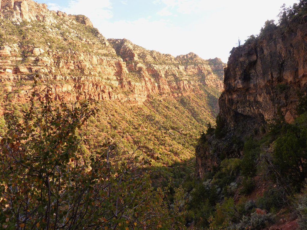
It's growing late
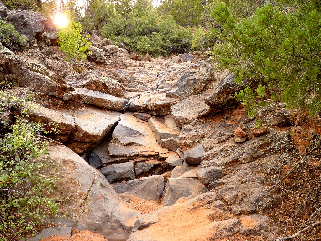
Following the yellow brick road
§: This hike was arguably the most physically demanding thing I have
done. Virtually no incentive could entice me to repeat it when it is 92°
in the shade. I could have drunk twice the water that I had taken with me,
which means that three liters weren't nearly enough. Also, good
photo-ops were missed because I was too weary to pull out my camera.
I did, however, complete the walk in significantly less time than was suggested by
the ranger at the permit station. Go figure.
That having been said, in the past I have reasonably allowed weather conditions
to influence a hike's rating. In this case, however, I feel that it would be
a miscarriage of justice to allow a mere heat-wave to disparage my most
unique and interesting day-hike ever. The fact of my relative
exhaustion at the finish also is just a detail.
The utter novelty of today's destination was compelling, and the last
quarter-mile of the trek packed in the most scenery per square foot
of any place I have visited. The Subway area is a photographer's wet
dream. Also, I never have seen so many flowers this late in the year;
and I would reiterate how enjoyable it was to traipse up and down the middle
of a flowing creek without getting my feet wet.
Back at the motel, I was so worn out that I vowed never to go hiking
again. A bit later I thought that I might merely be finished for the
season. The next day, I went on another walk! Now I am ready to
revisit the Left Fork — when the air temperature is more hospitable,
of course. Late October or even November could be good choices —
but not soon after a rainstorm; for then there might be too much water in the creek,
and all the benefits would be lost.
| Scenery |  |
| Difficulty |  |
| Personality |  |
| Adventure |  |
| Flowers |  |
| Solitude |  |