
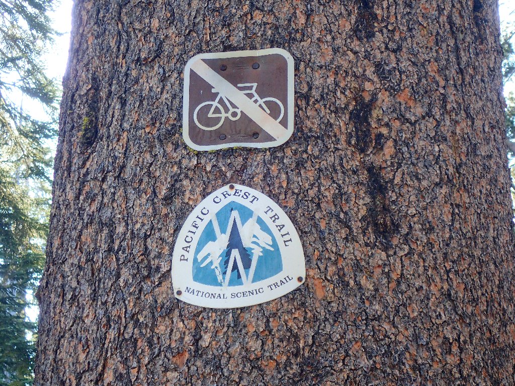
Donner Summit
|
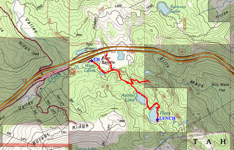
Azalea & Flora Lakes Donner Summit |
July 29, 2016
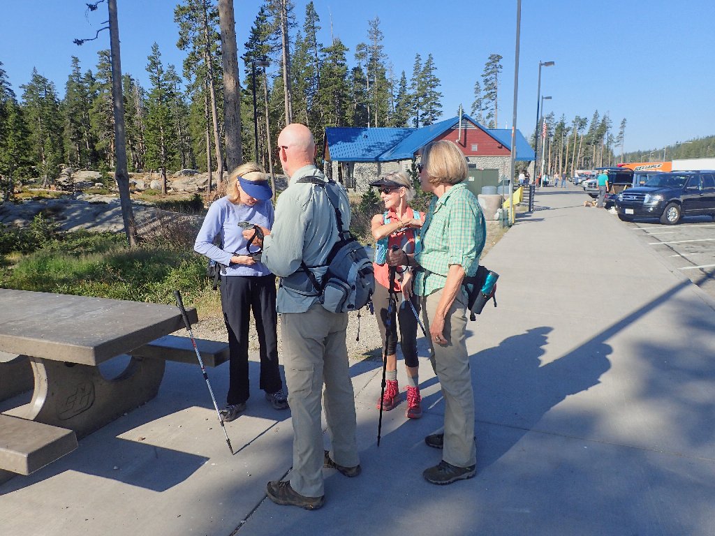
Getting started at the Donner Summit Rest Area
Always a pleasure to be here
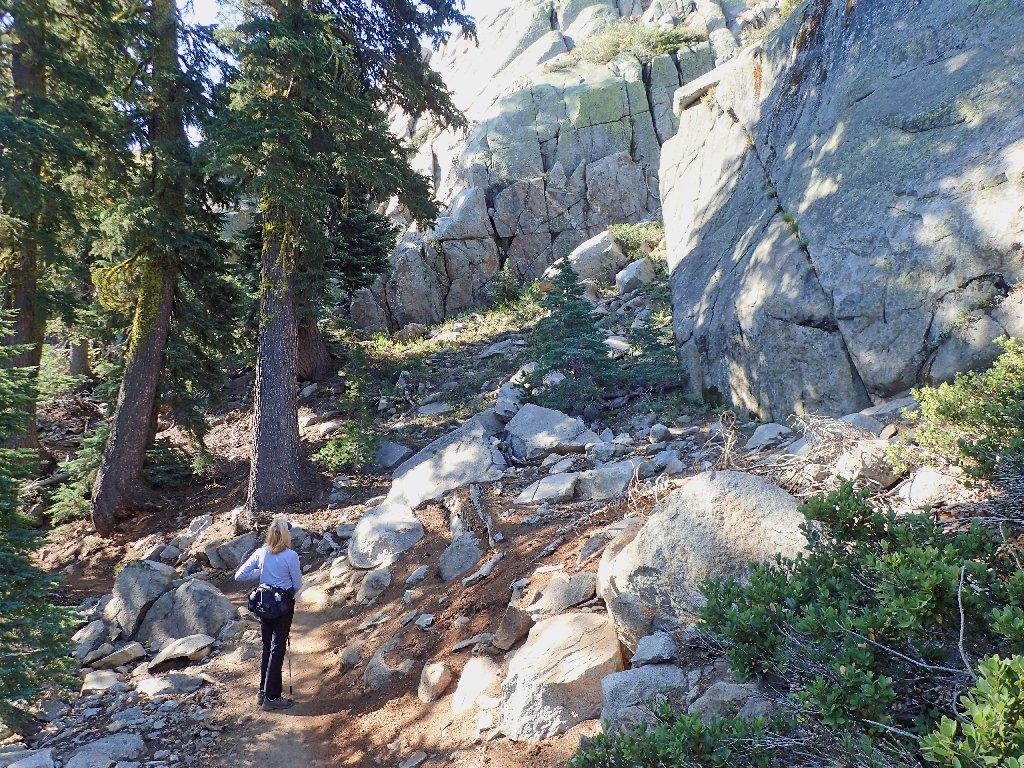
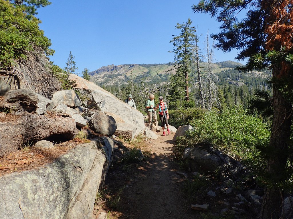
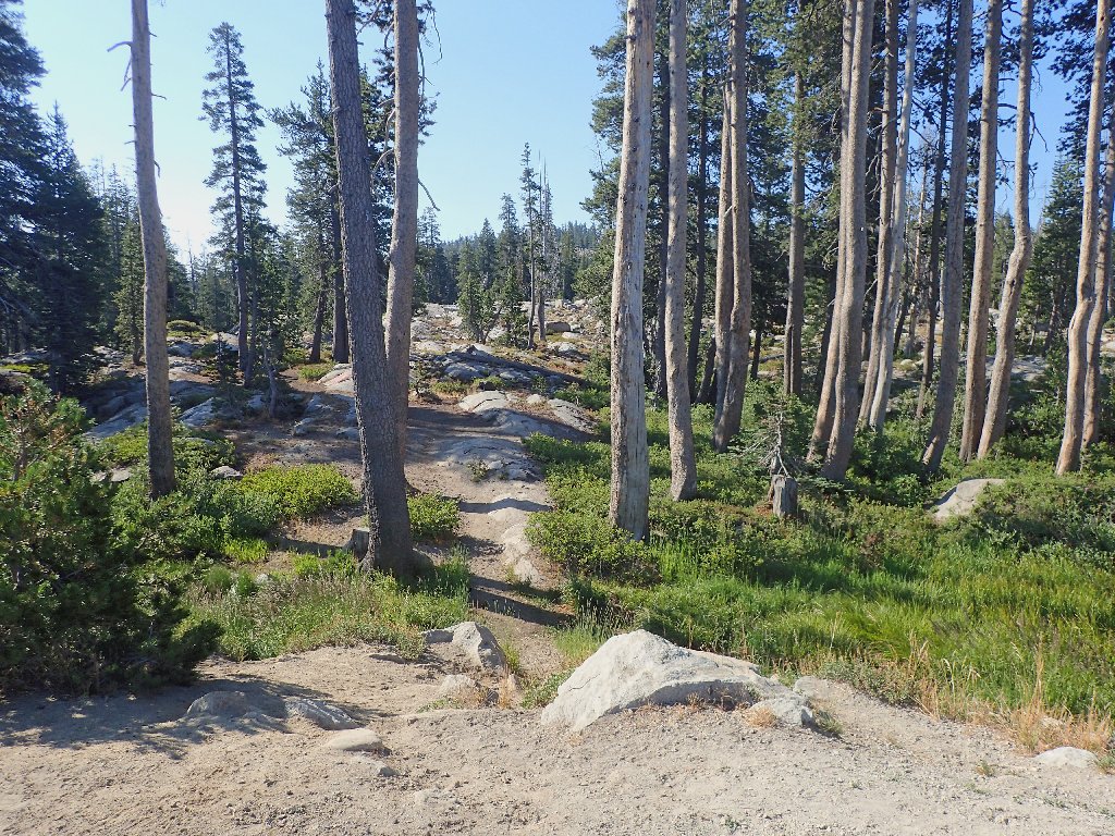
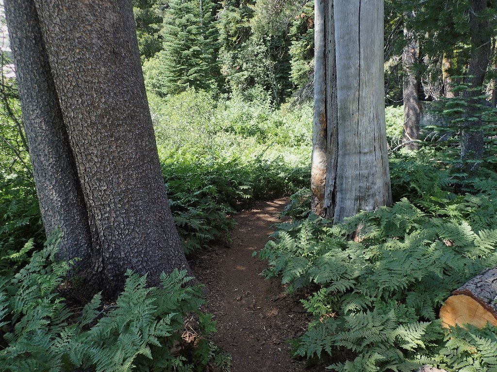
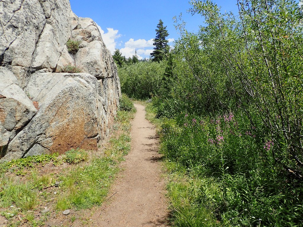
On the trail
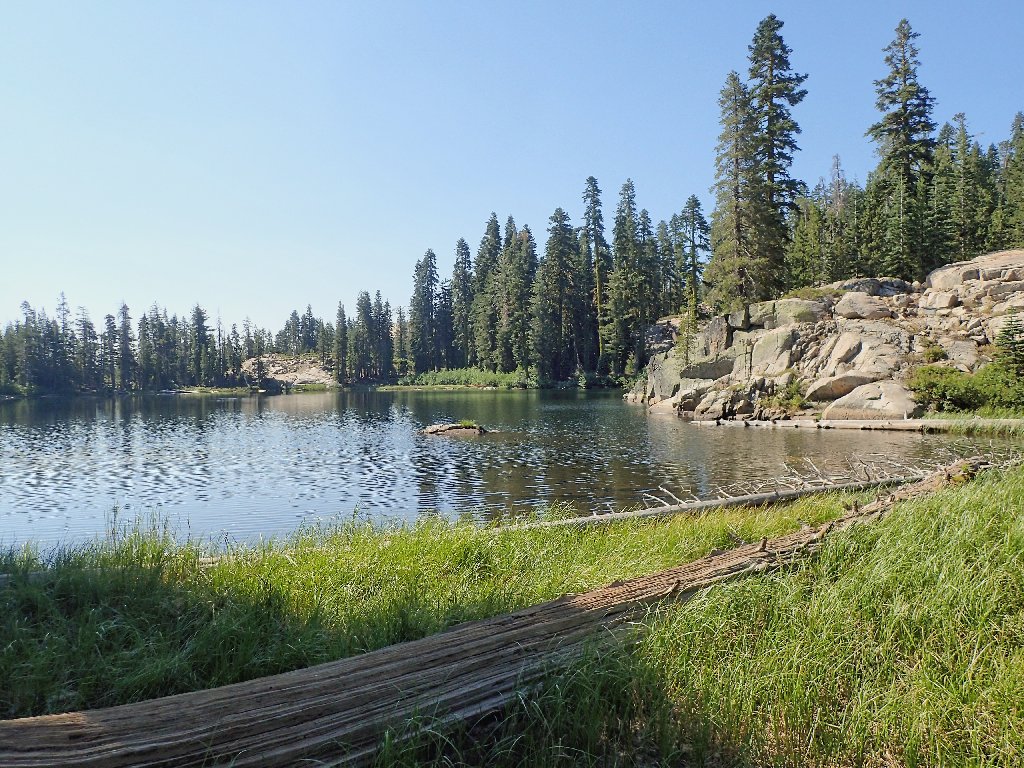
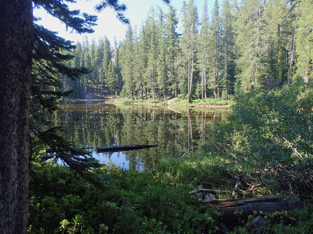
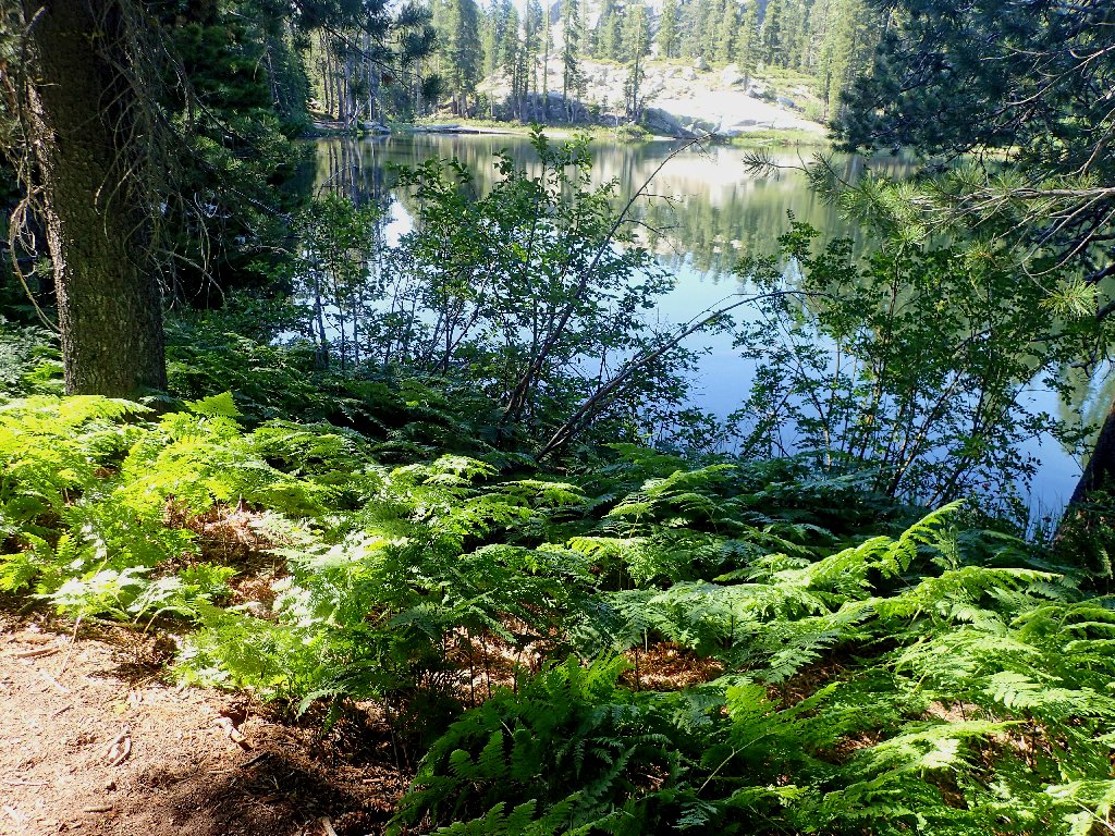
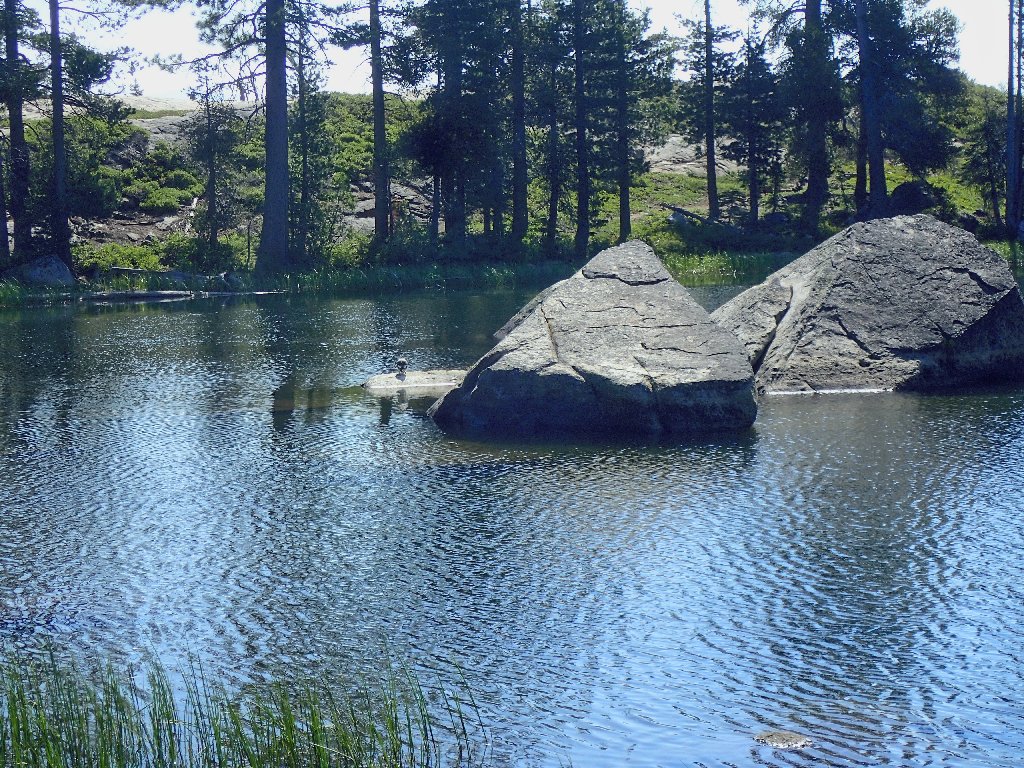
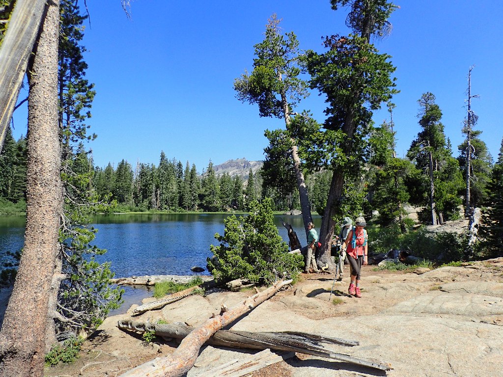
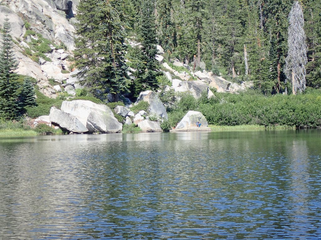
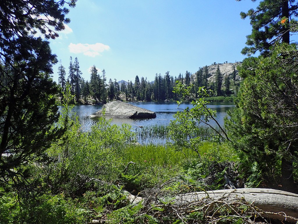
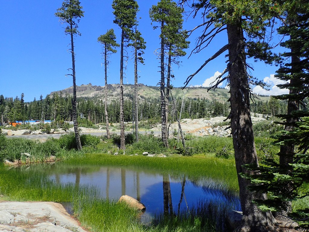
Azalea Lake
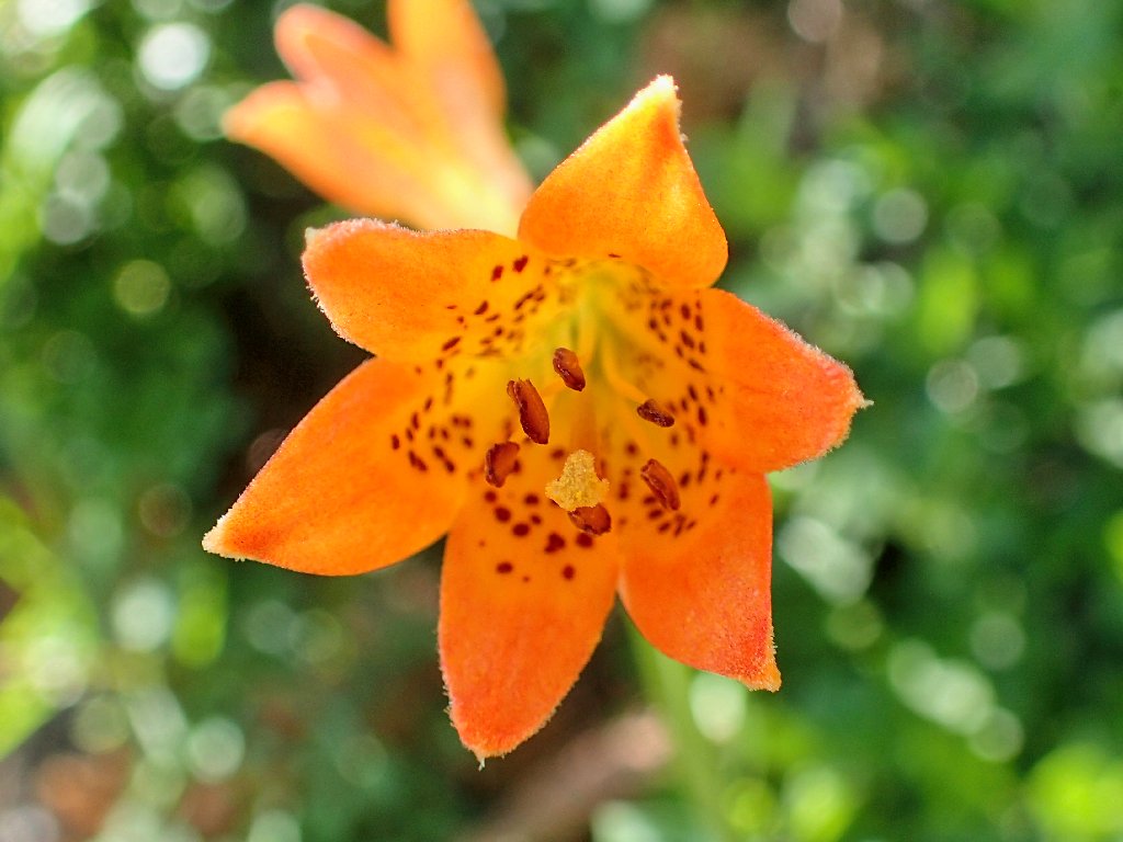
Alpine Lily
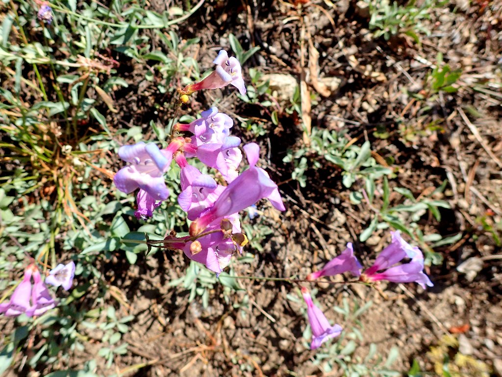
Showy Penstemon
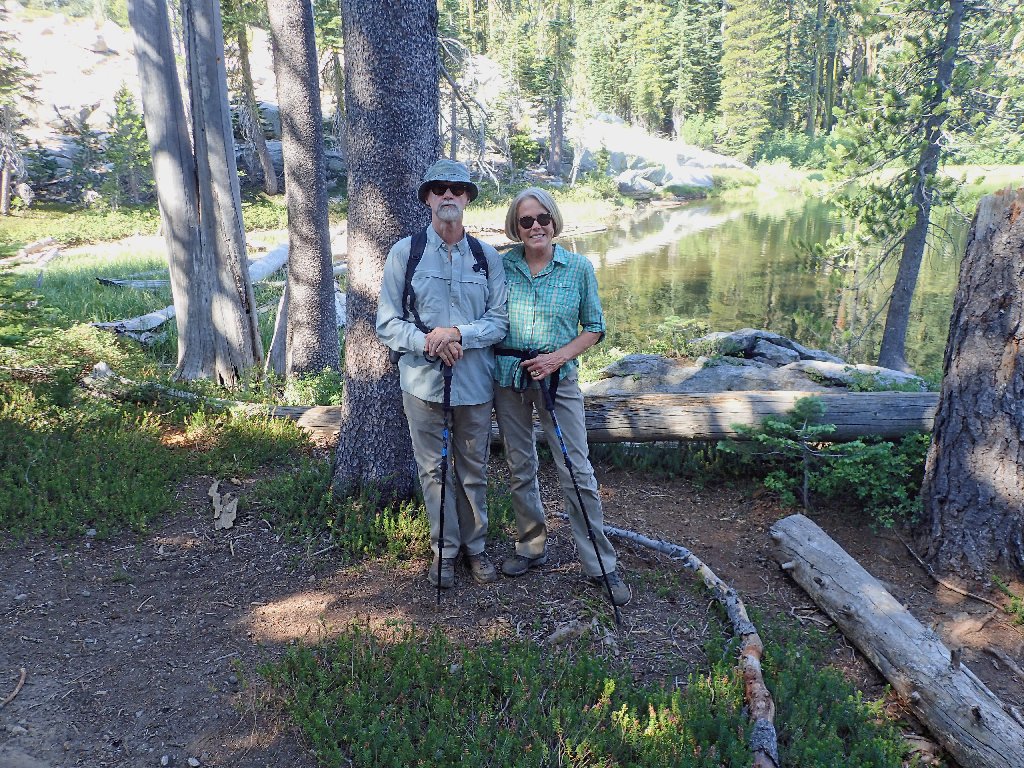
Walt and Carrie
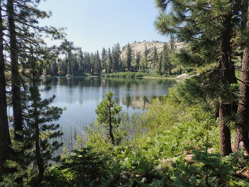
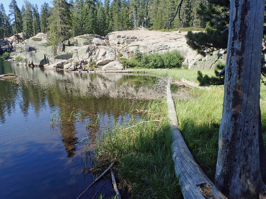
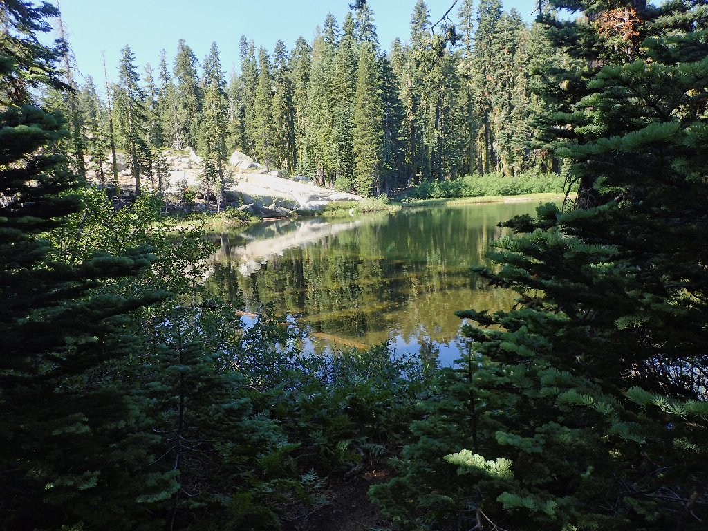
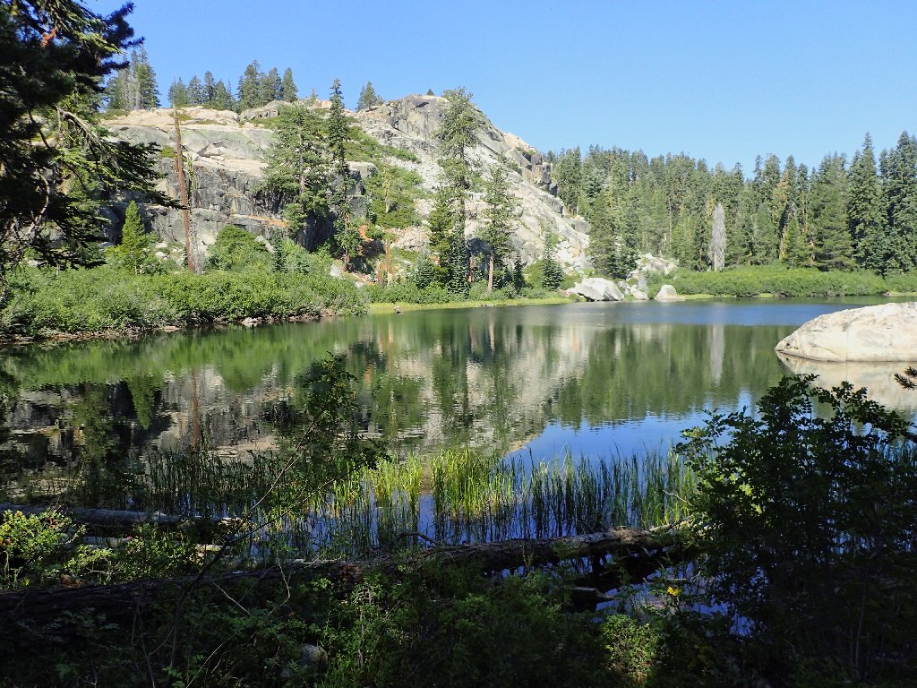
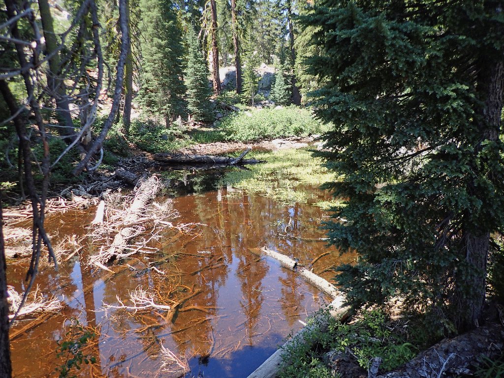
Flora Lake
A lone duck
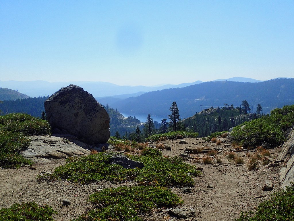
Donner Lake, and a big smudge on the camera lens
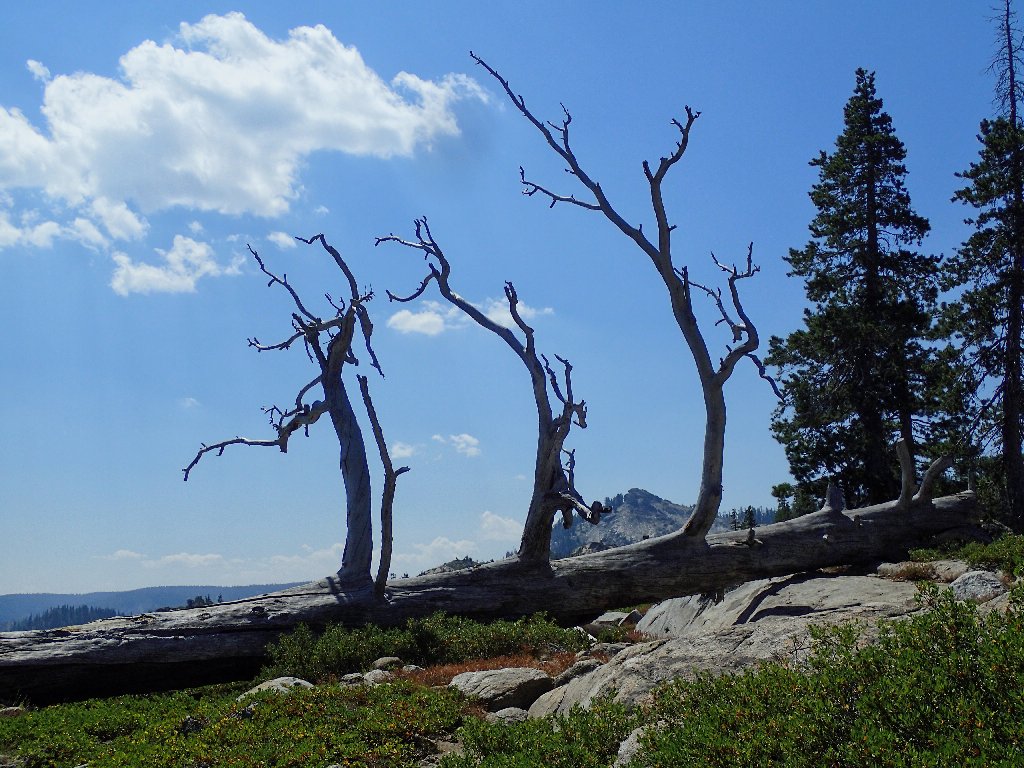
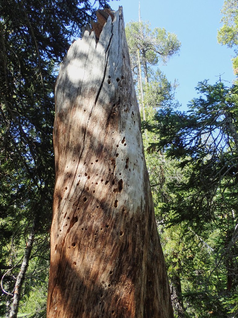
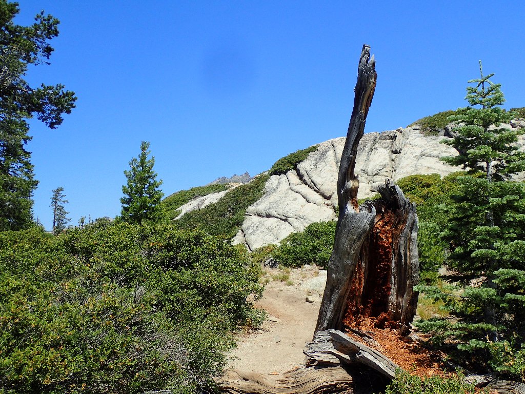
This special tree lives on
Our stopping place
The woman across the way
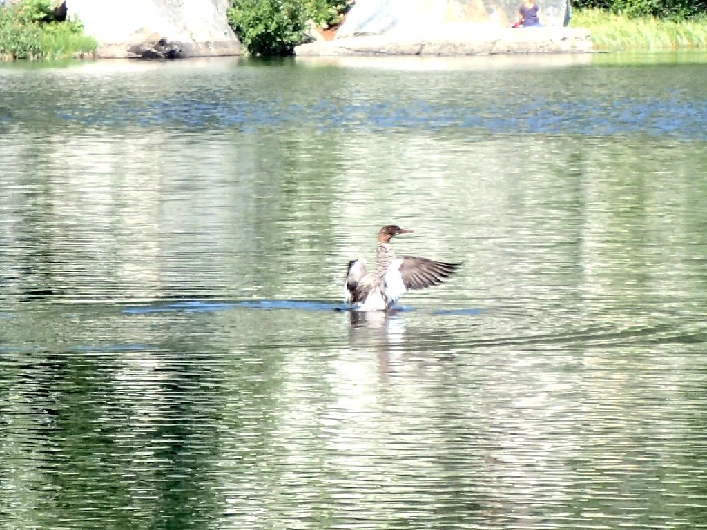
It could be a Canvasback, as Walt suggested
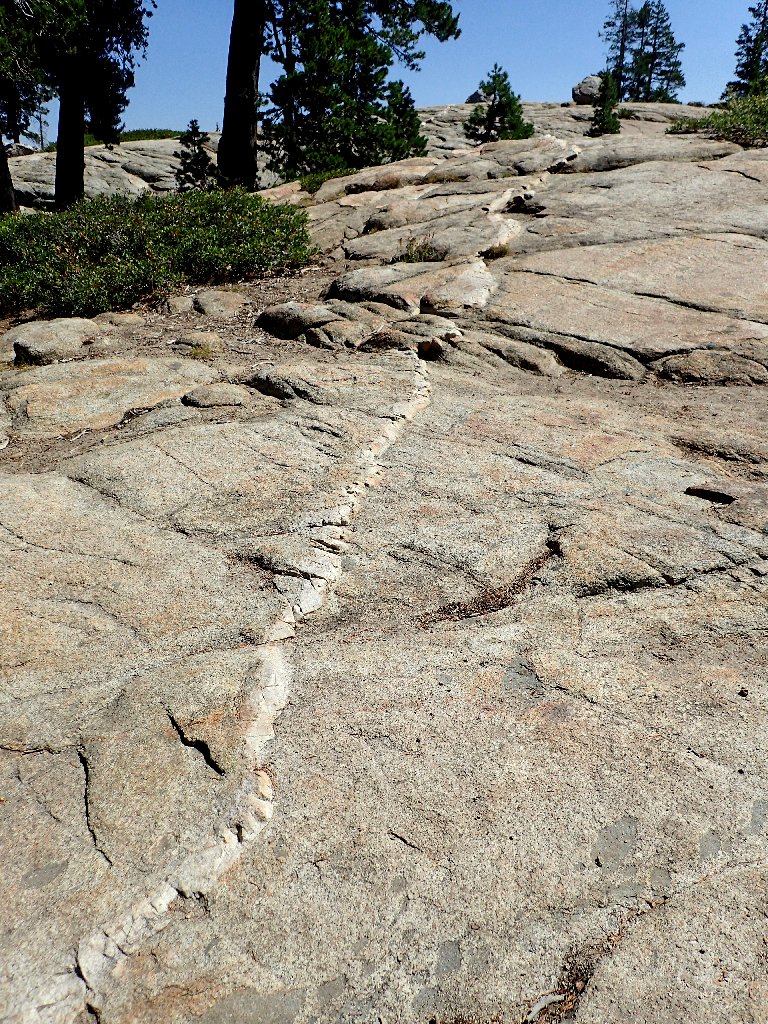
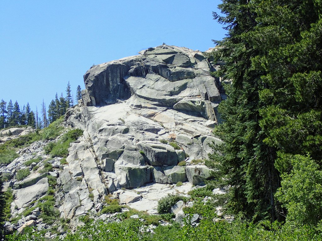
Daffy dike
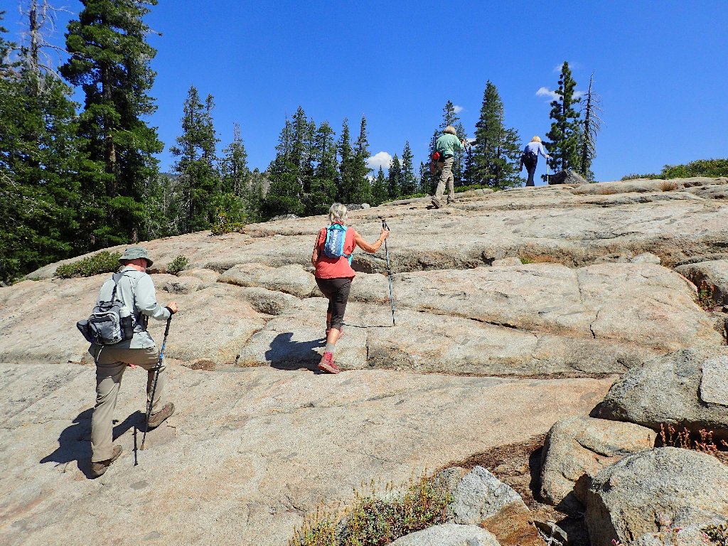
Great grouping
Last view of Flora Lake

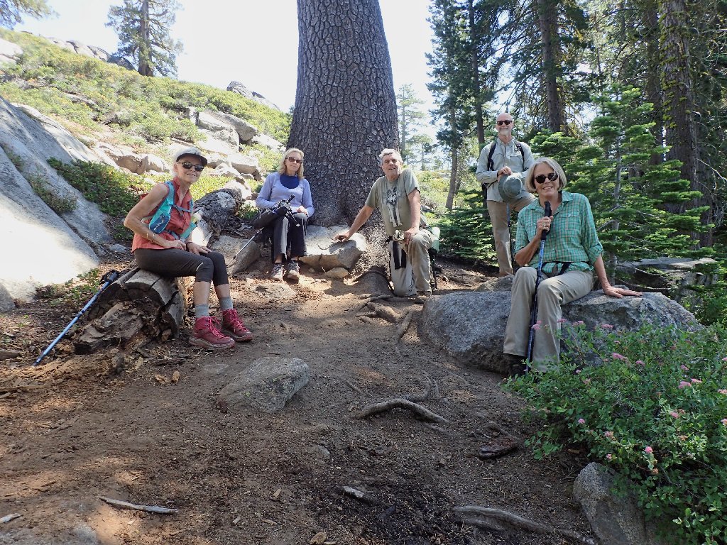
Group Shot #1
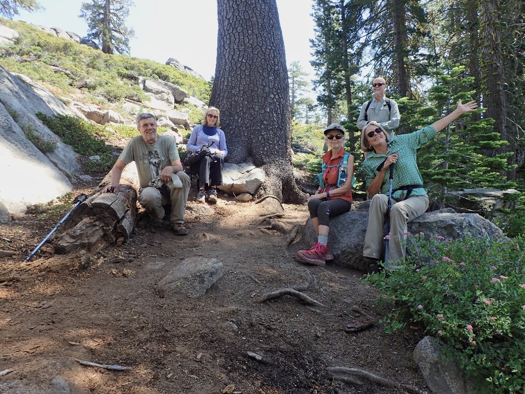
Group Shot #2
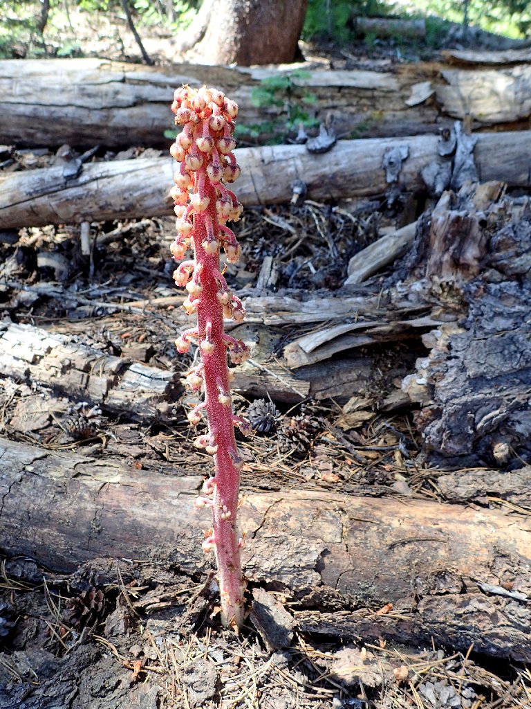
Pinedrops
Detouring into the garden
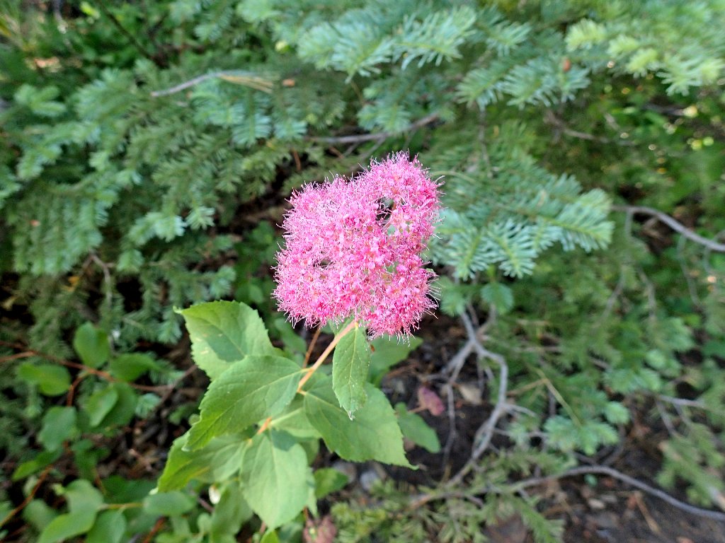
Meadow Sweet
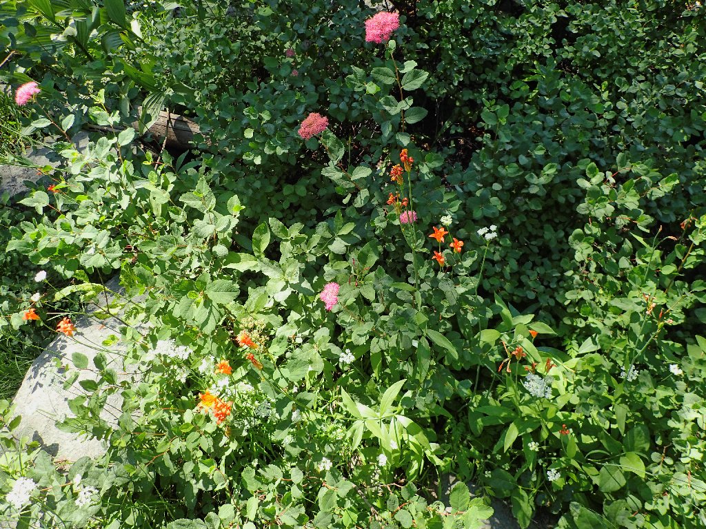
Garden variety
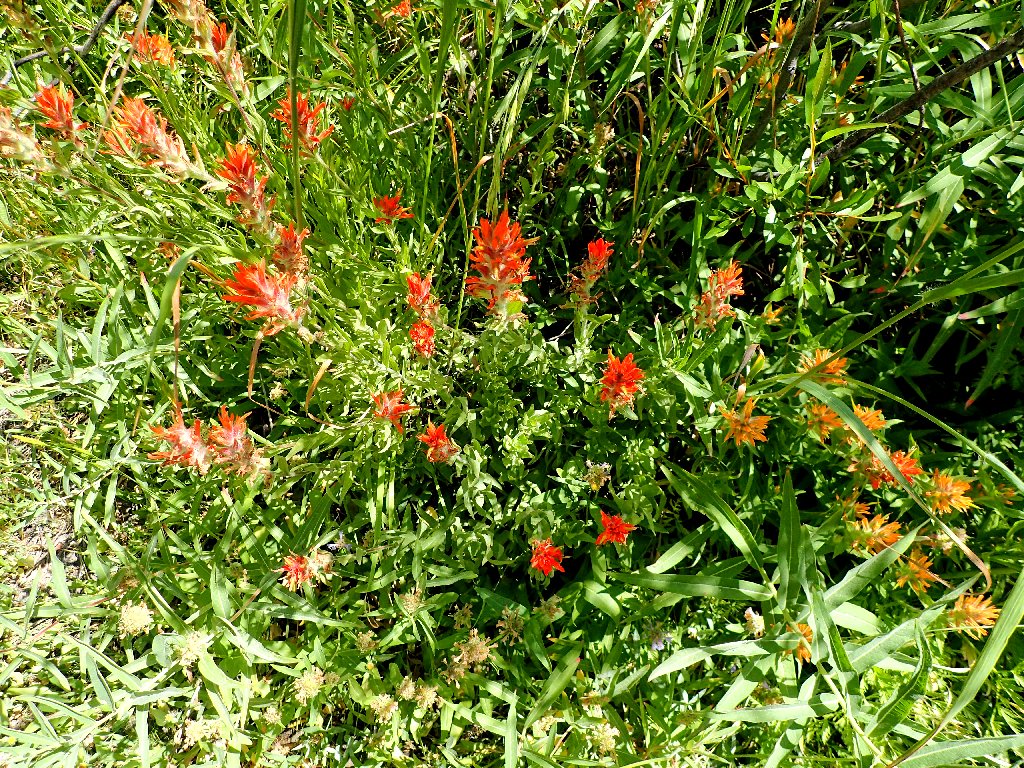
Paintbrush
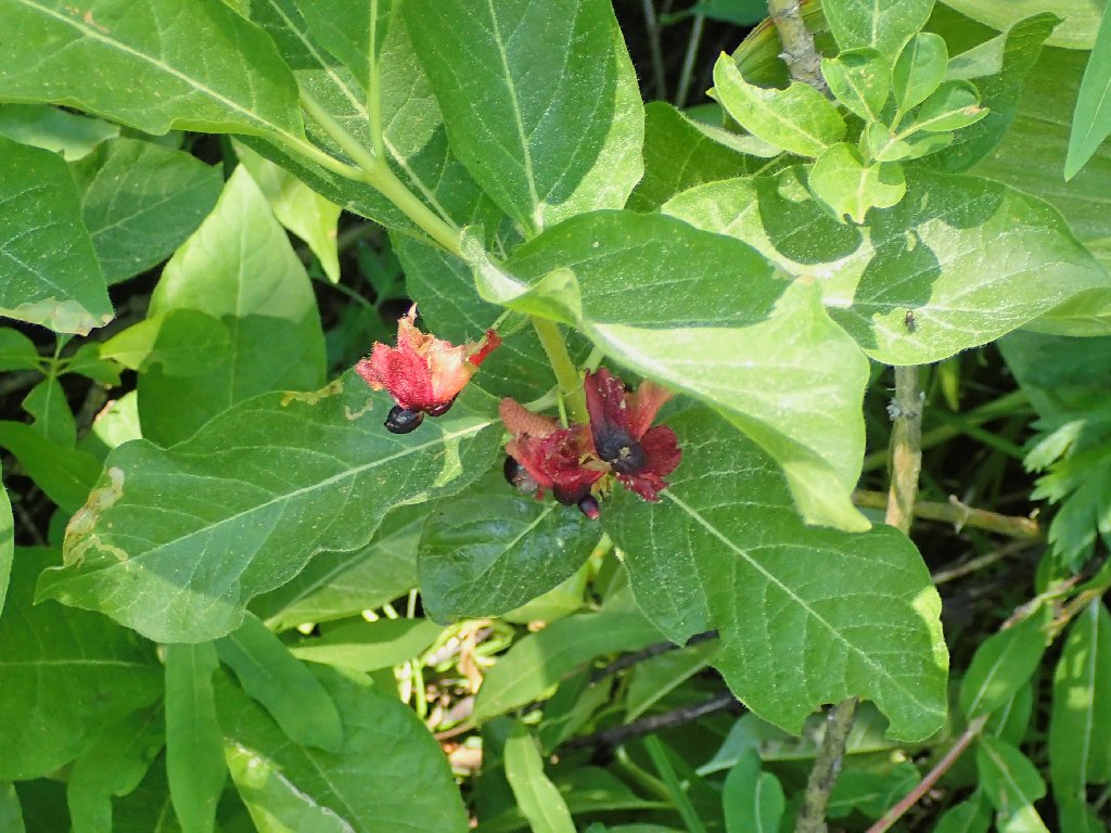
Gooseberries
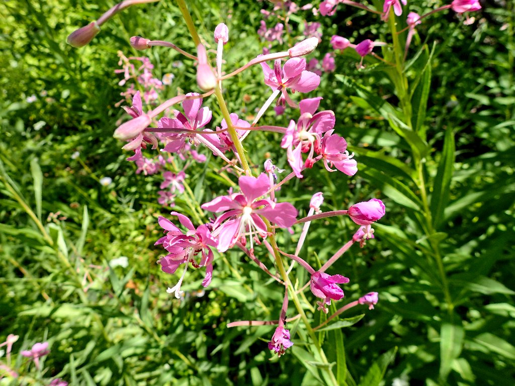
Fireweed
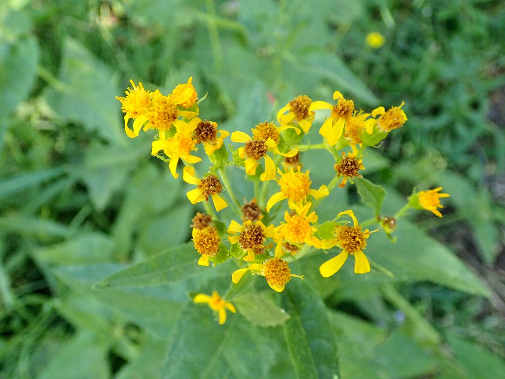
Ragwort
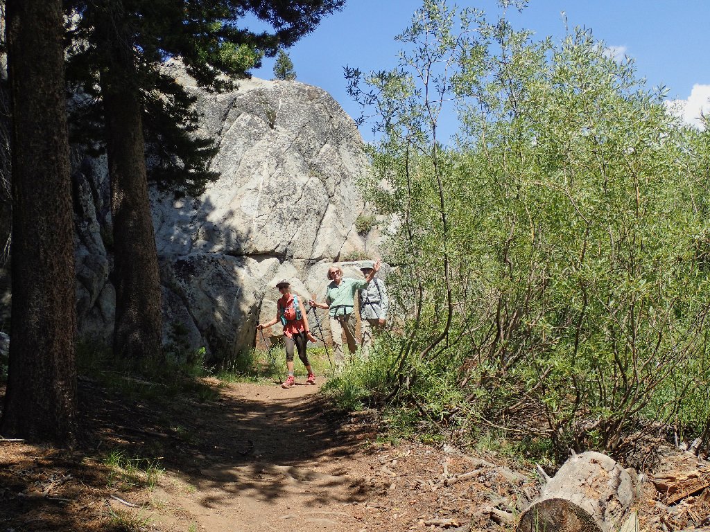
Returning from the garden
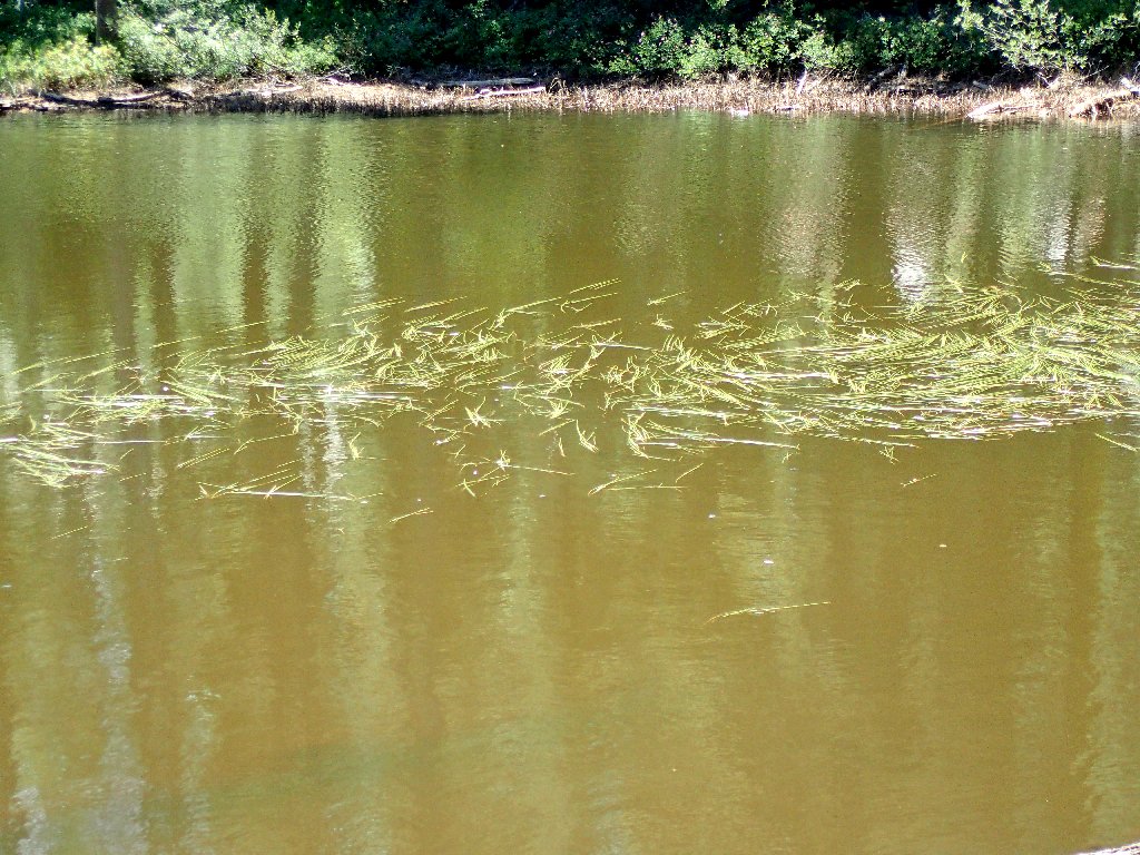
How did those rushes get out there?
End of the line
| Scenery |  |
| Difficulty |  |
| Flowers |  |
| Solitude |  |
Note: there once was a shortcut between the tunnel and the parking lot
