Hoover Wilderness
|
Virginia Lakes Pass Hoover Wilderness |
September 30, 2025
This umpteenth foray into my beloved Hoover Wilderness is long overdue. I've been
wanting to revisit this route for fifteen years; for not only is the summit view a
"Wow! where did that come from?" moment, but a bit of unfinished business awaits me up
there — something that perhaps only I would tend to care about.
I hope that the current significant breeze doesn't have an adverse effect.
My Eastern Sierra connection Gary has driven some 90 miles from home to join me on this outing, despite an ongoing physical issue that could hamper his effort.
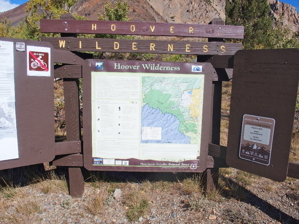
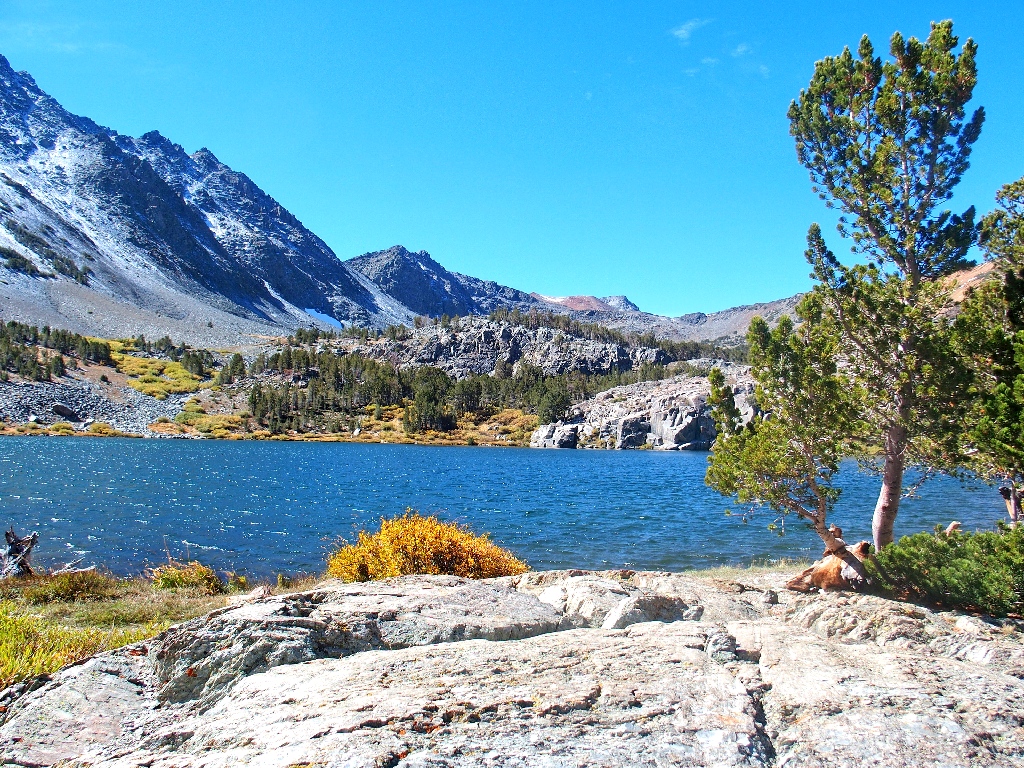
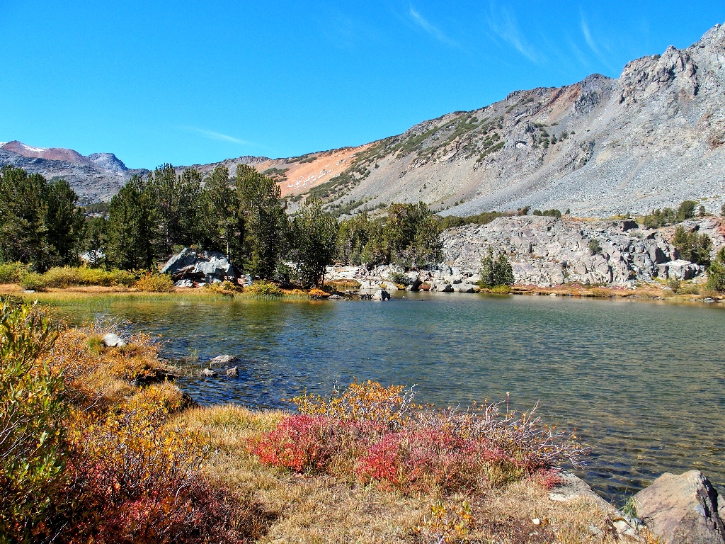
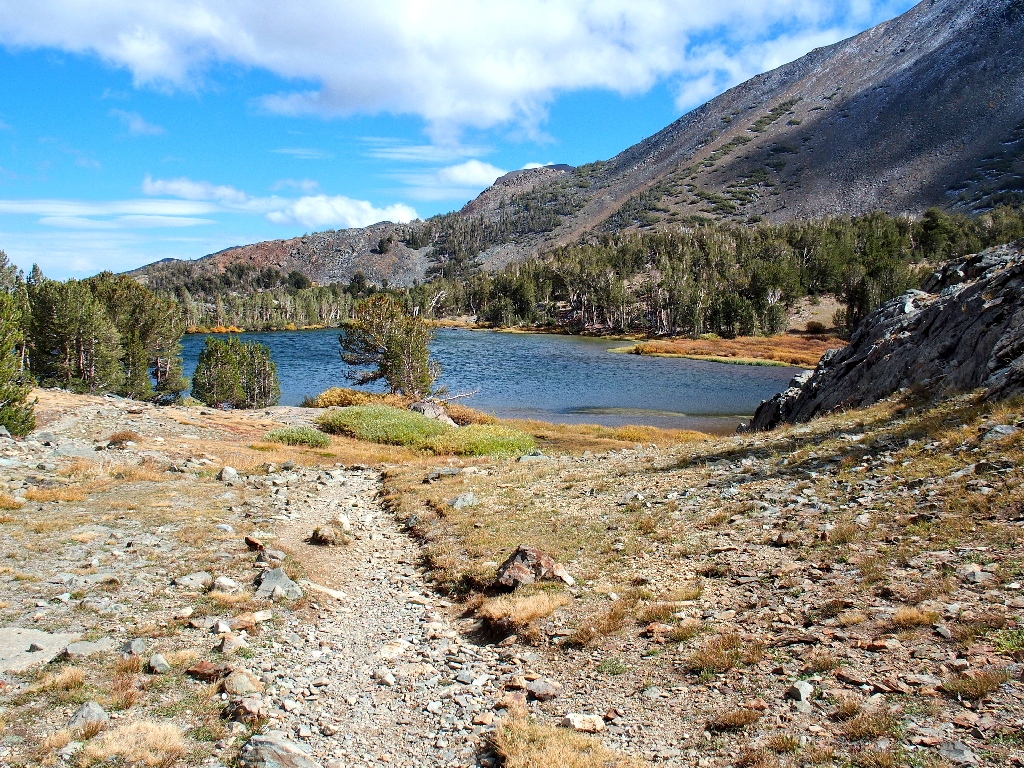
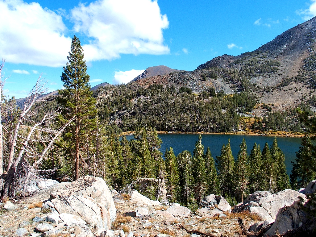
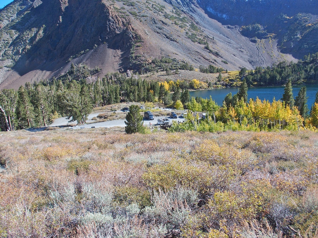
Big Valley Lake
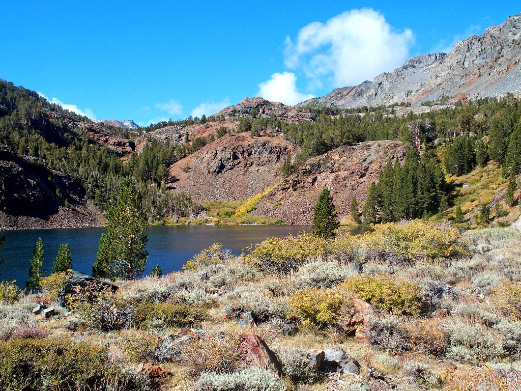
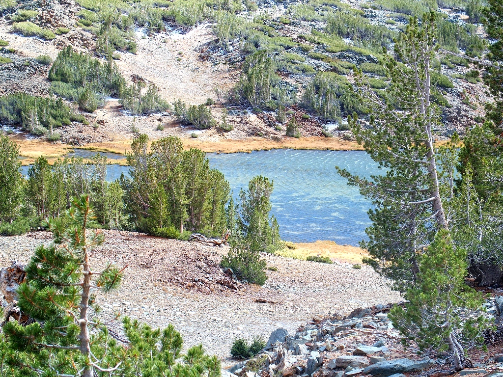
Blue Lake
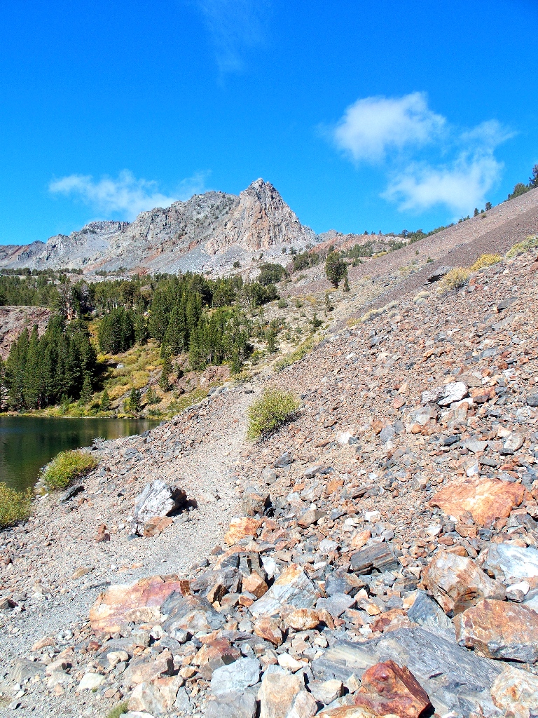
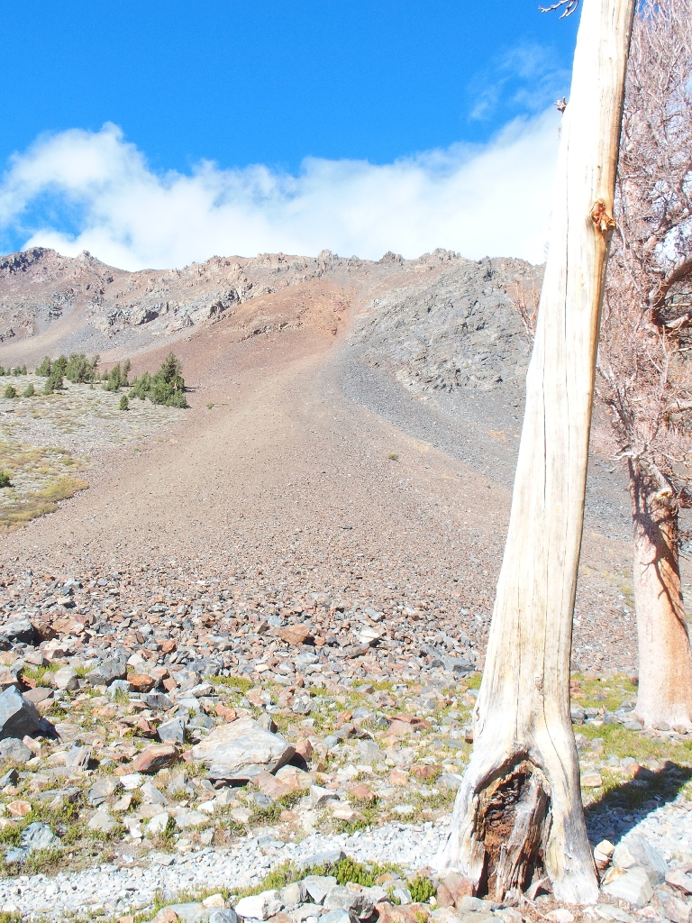
A lengthy scree-slope traverse beside the lake
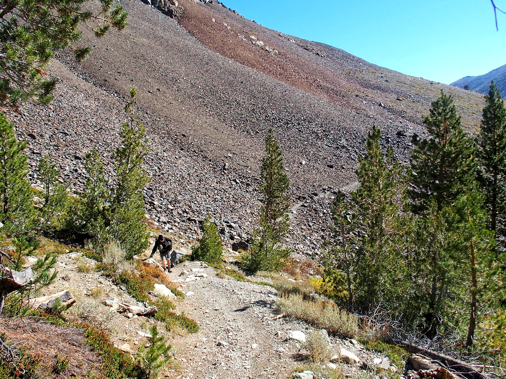
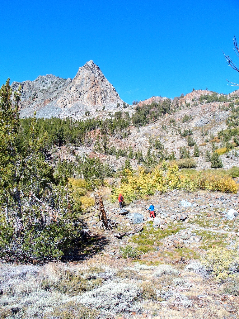
Gary is out of breath already
In just under a mile, discretion compels my companion to terminate his forward progress. That's a shame, because I hate it when any friend is under the weather. But now, Gary can look forward to returning home to cook me a nice dinner!
Forging ahead solo
The breeze is increasing, which is a bad sign; for the higher I climb, the stronger the wind is likely to become. Nonetheless, I am determined to see the mission through if possible.
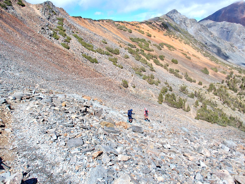
Those two are not resting as much as I
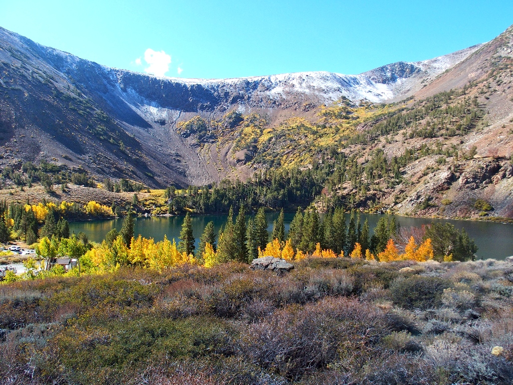
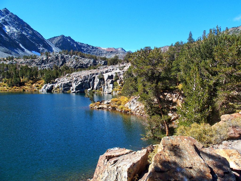
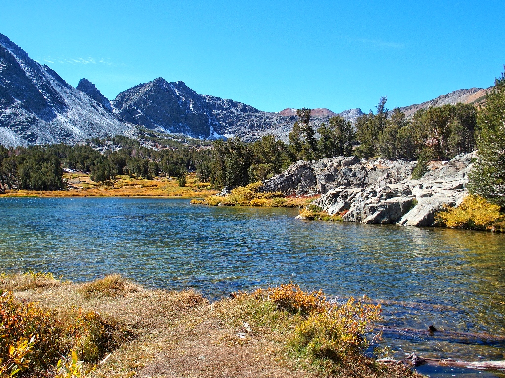
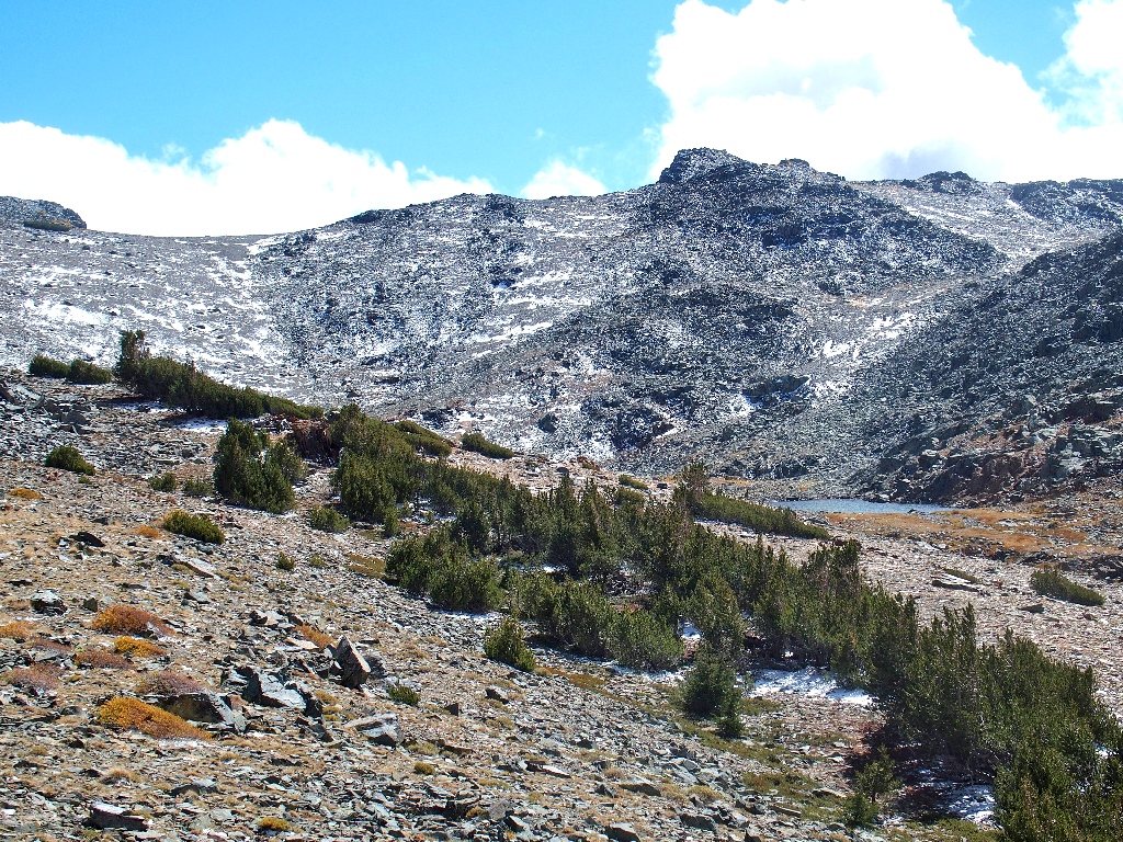
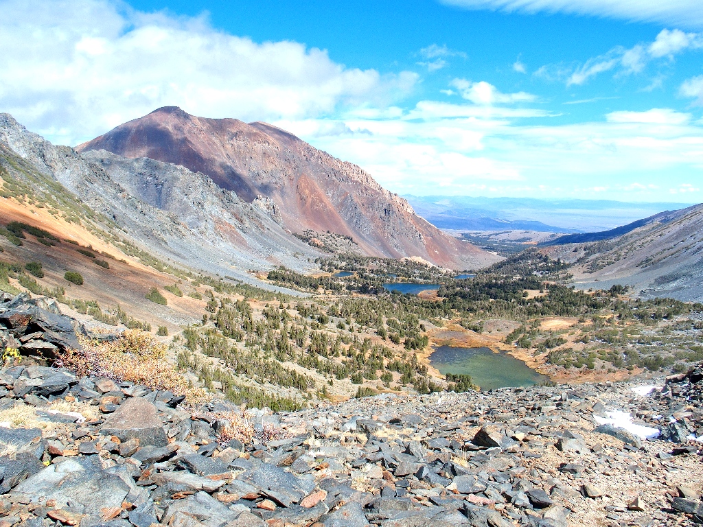
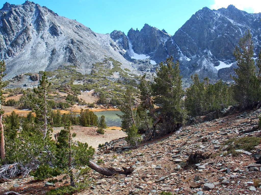
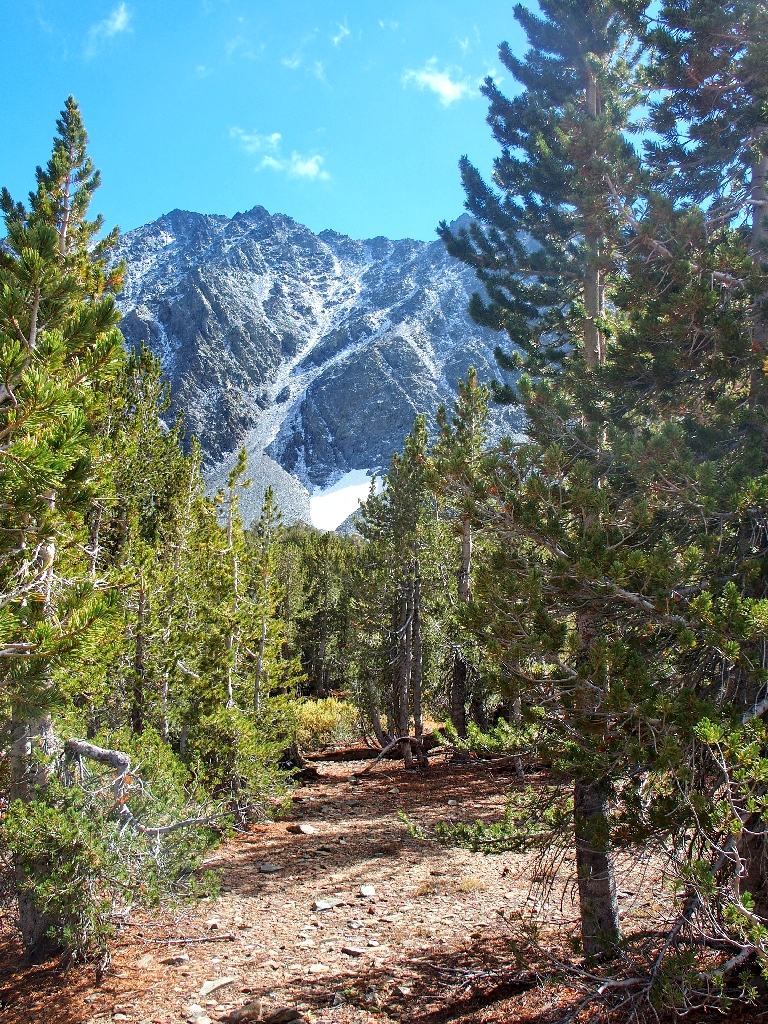
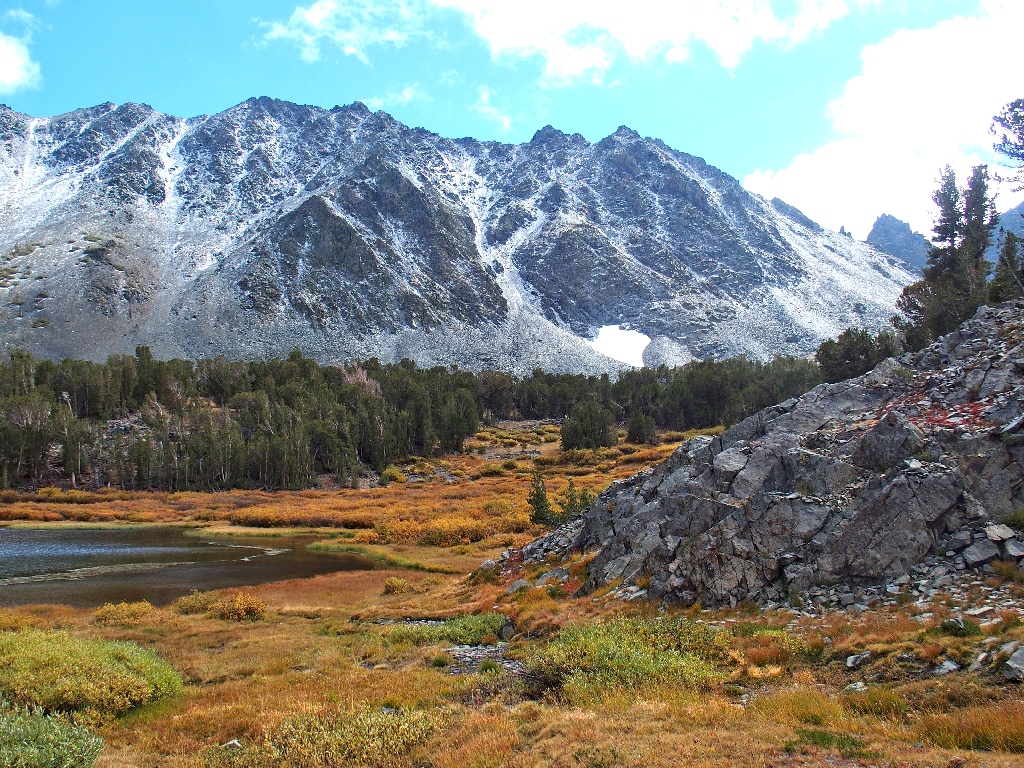
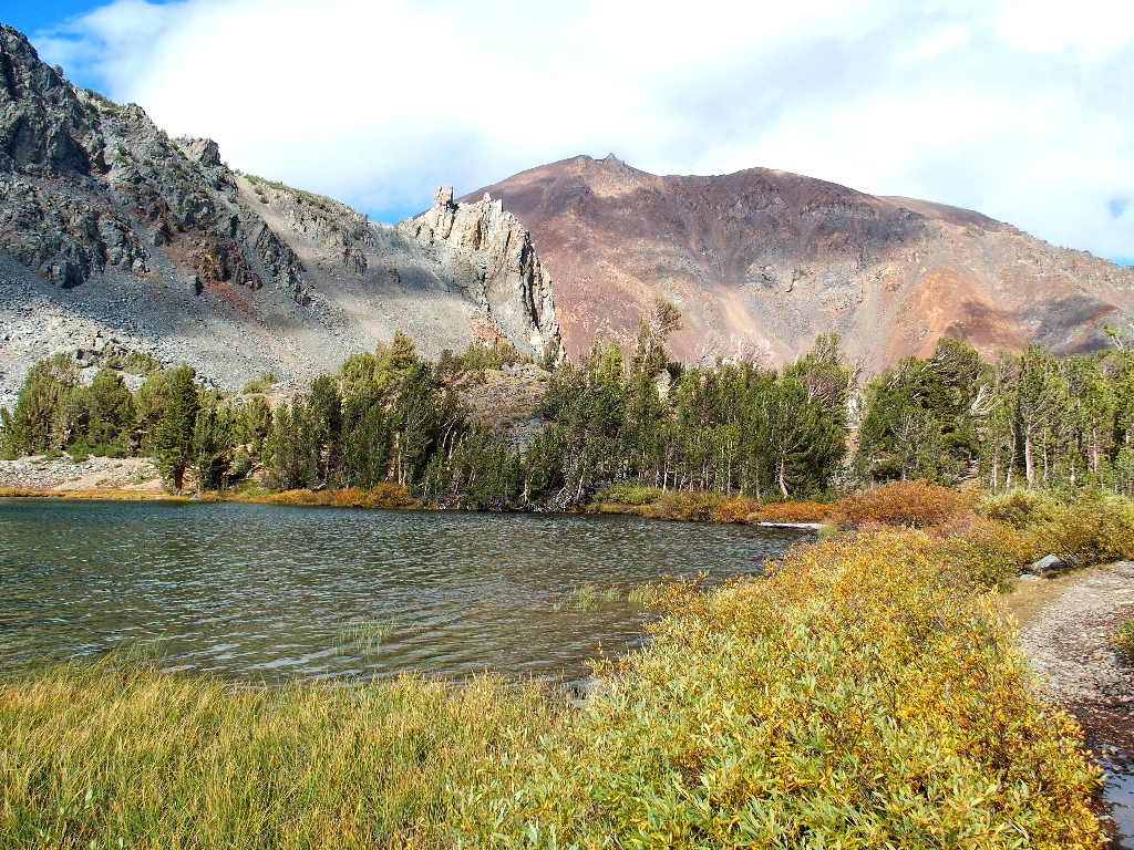
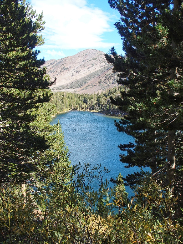
Cooney Lake
The distant ridge top is the destination.
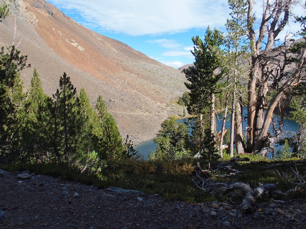
The Moat Lake drainage
Taking the short detour beside the creek up to Moat Lake would be interesting.
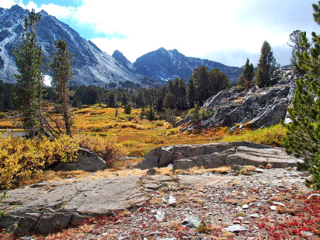
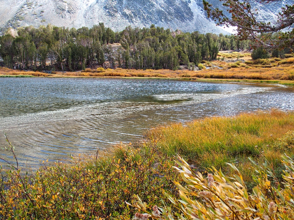
Middle Frog Lake on the right
Lower Frog Lake on the left
The upper lake remains out of sight.
Looking northward
The destination is in better view now
I estimate four more rest stops to the summit
In fact, I am compelled to pause a total of ten more times due to shortness of breath. Not only is advanced age an everyday factor now, but climbing some 11,000 feet higher than when I woke up has taken its predictable toll.
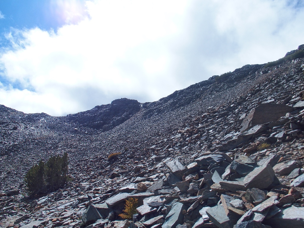
The final pitch finally?
Compounding my problems is an inexplicable (stupid) failure to bring along my walking
stick, which would have helped combat what has become a gale-force
headwind. Somehow, I make it up to the top of the saddle anyway.
The expected breathtaking view materializes
This is why I go hiking
Summit Lake is 1,000 feet below; Camiaca Peak rises 1,600 feet above it. More good views are available to the north via a short walk, but the current conditions up here are so prohibitively unpleasant that I forgo the opportunity.
Also, my aforementioned special agenda was to clamber up the ridge just to the south, so as to get a view of the unique and elusive Burro Lake which hangs high up in Lundy Canyon; but there is no way that I will torture myself further with another mile of walking and another few hundred feet of climbing.
One of the Little Tween Lakes is visible below the ridge that will
not be visited today
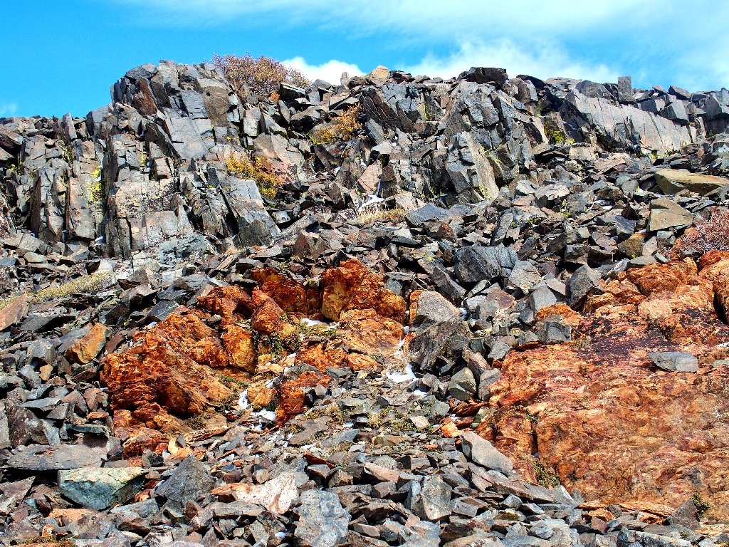
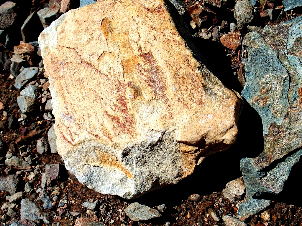
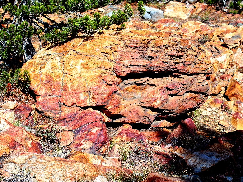
I must not 'waste' this visit entirely, however; for there are chances to collect more evidence in support of my contention that the Hoover Wilderness is the most colorful of them all. Because I did manage the foresight to dress especially warmly today, I am not really cold as along as my gloves remain on. Unfortunately, one must be removed in order to handle the camera properly; but what must be done must be done.
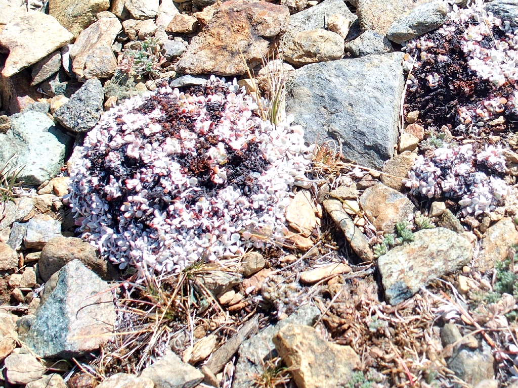
Butterballs
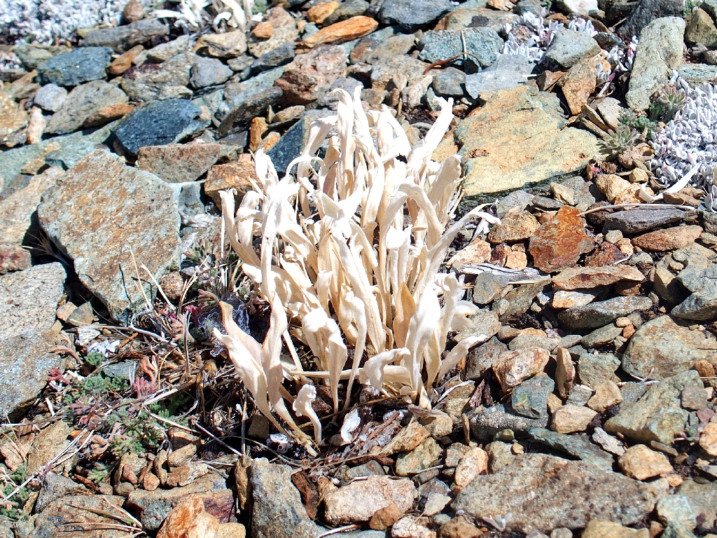
Daggerpod
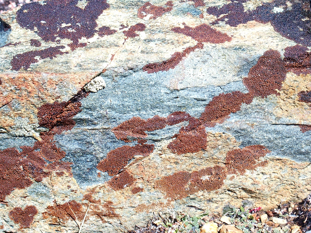
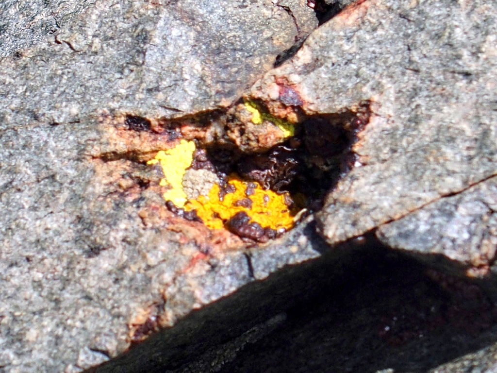
Acarospora fungi
Davidson's Penstemon -aka- Timberline Penstemon
Just as I prepare to descend, a big, strong hiker appears and sits down on a rock. He is awating his 'slower' brother, and is wearing shorts. Ugh.
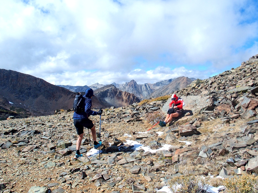
The brother arrives, also in shorts
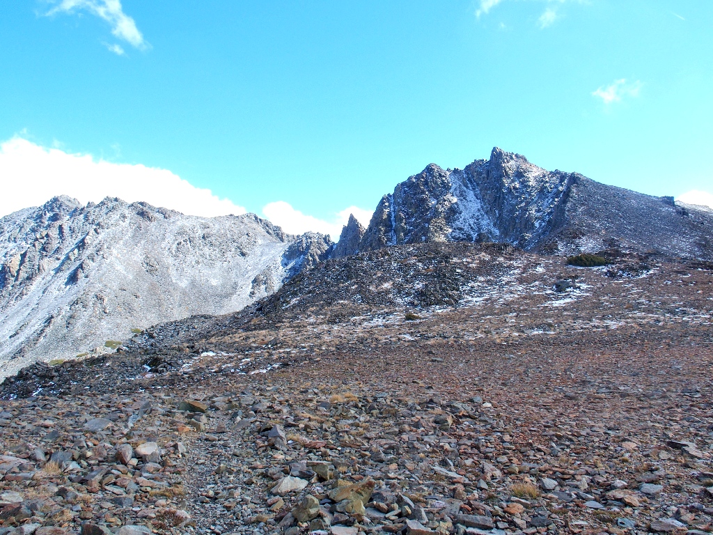
Black Mountain and Peak-11524
When I glance at my GPS, the elevation gauge reads, '11111' feet! That suggests
a unique photo-op of the instrument face, but my bare hands are just to cold
to bother. I probably will regret my decision not to make the effort.
Dunderberg Peak [12379'], and a piece of Nevada in the distance
When I was here previously, I had been driven northward by smoke from the distant Owens Valley. Today's air quality is much better.
Passing me by
Within five more minutes, those two are completely out of sight, actually running down the trail at times.
Looking back
I must bid this pass a fond farewell, for it is unlikely that I will return here. There is so much yet to do in this region, but too little time.
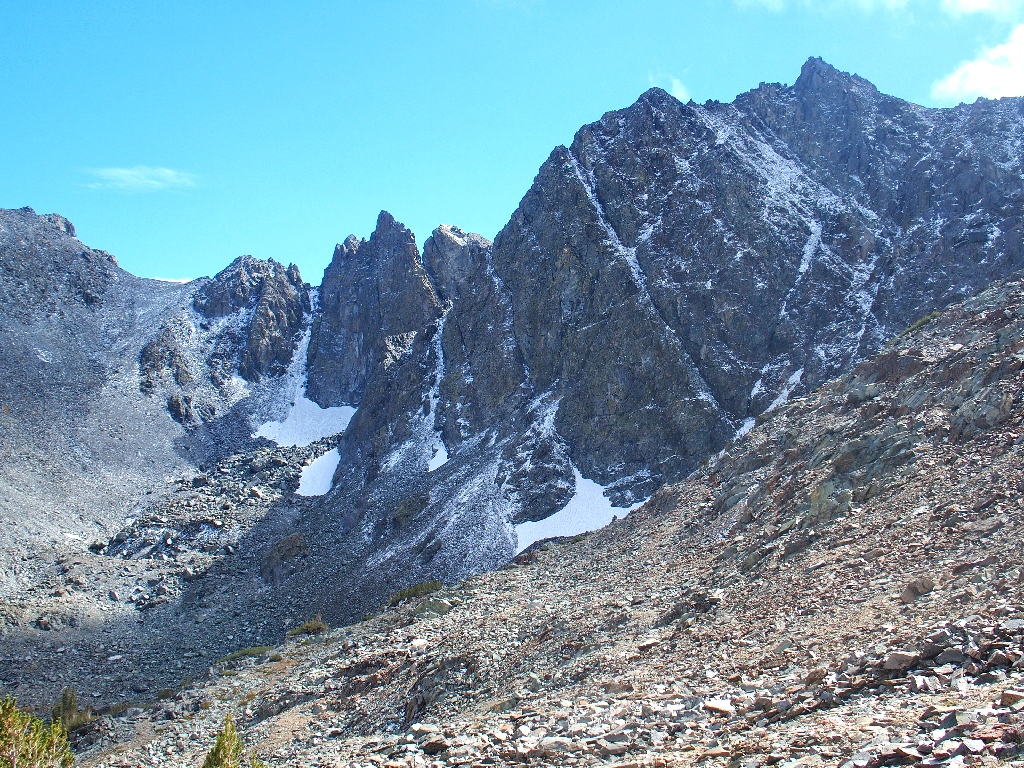
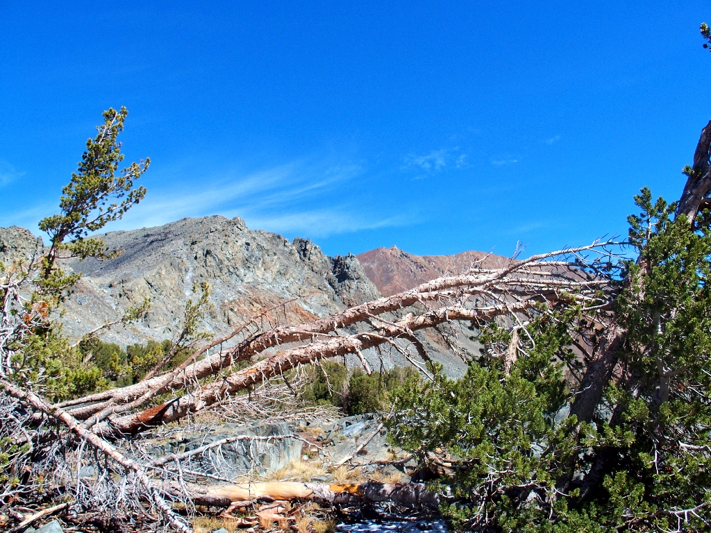
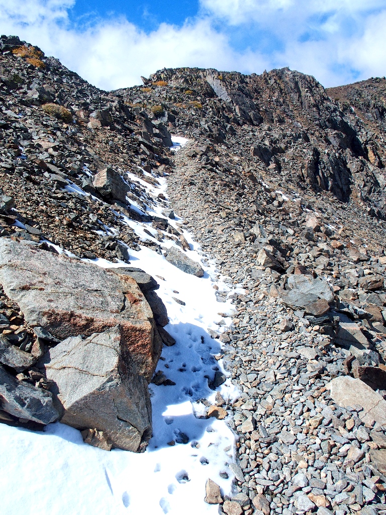
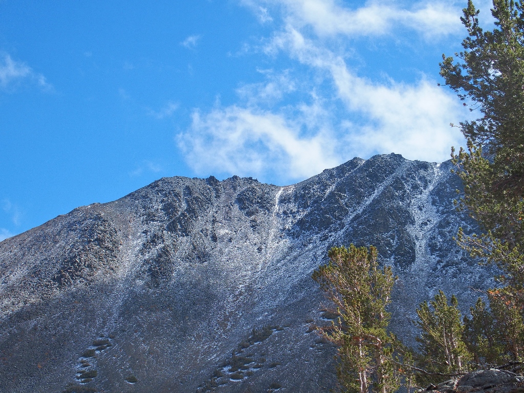
There are bits of permanent snowpack
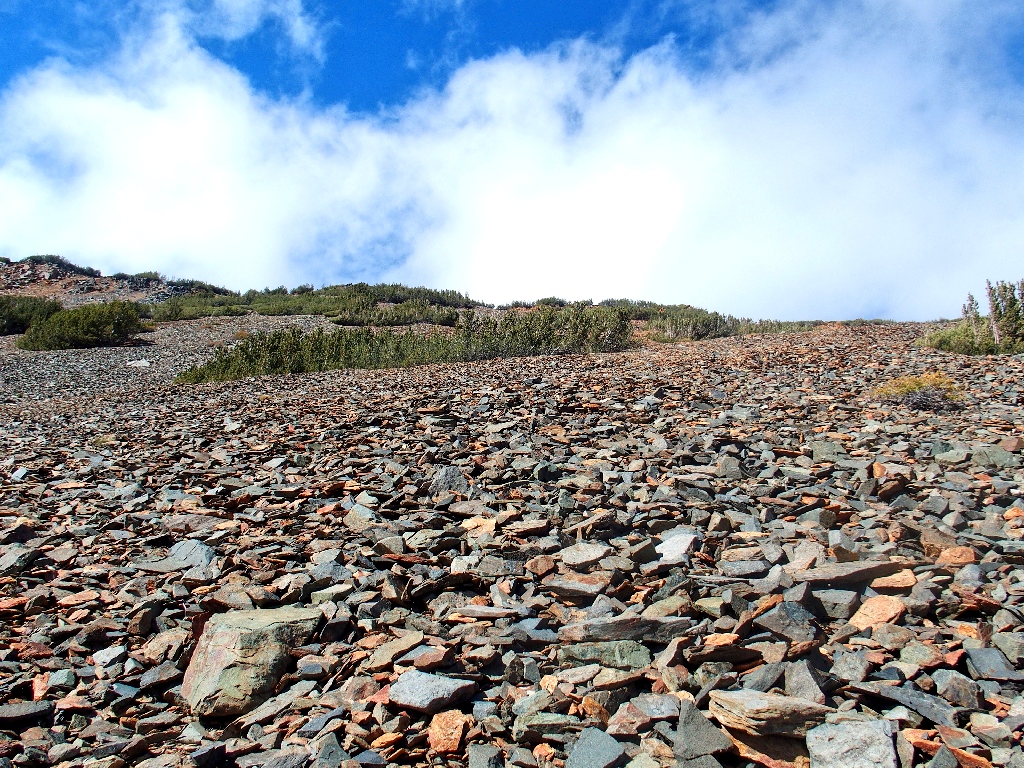
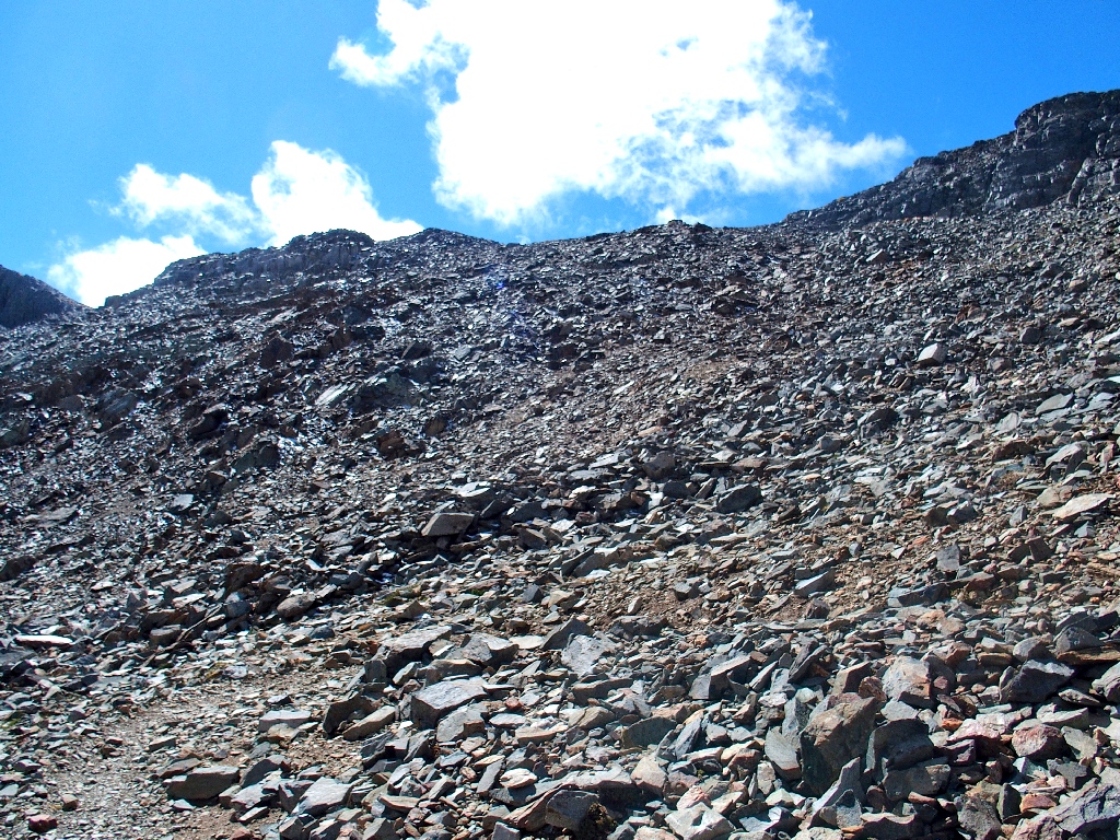
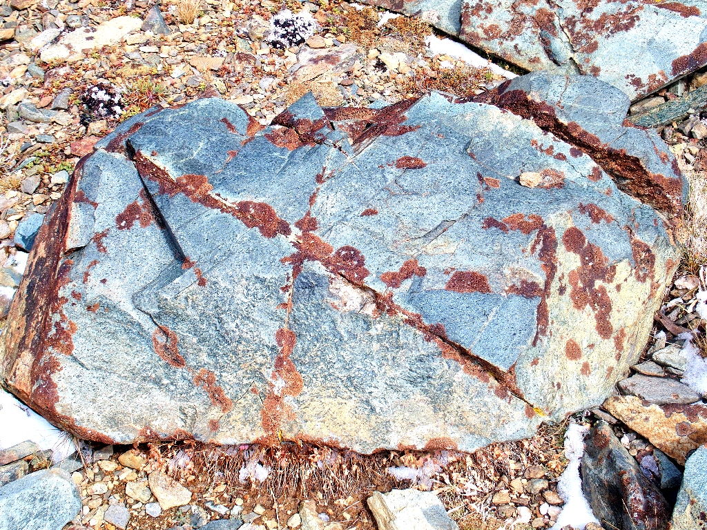
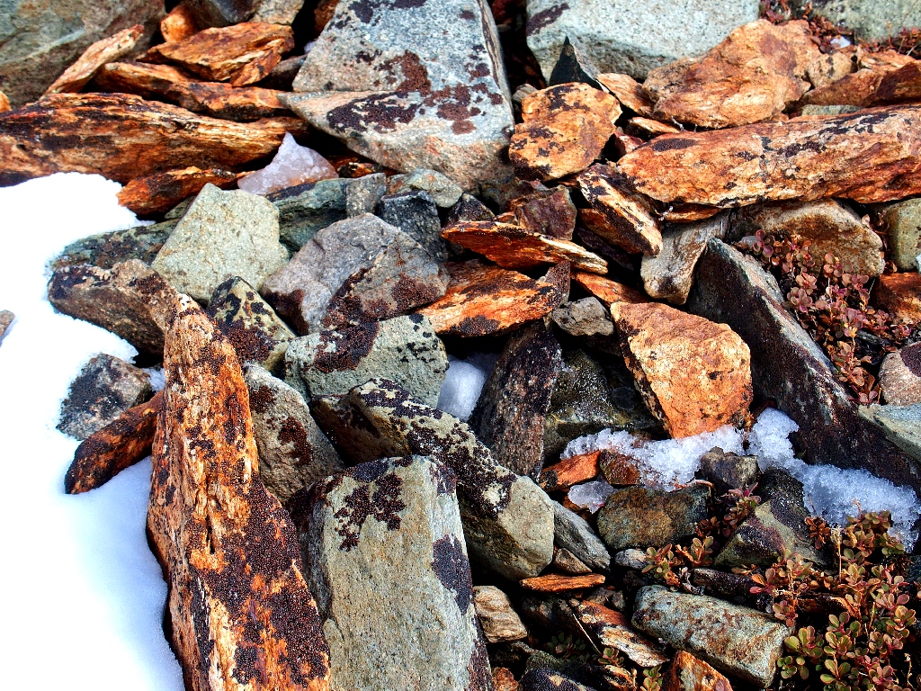
The patented Hoover scree
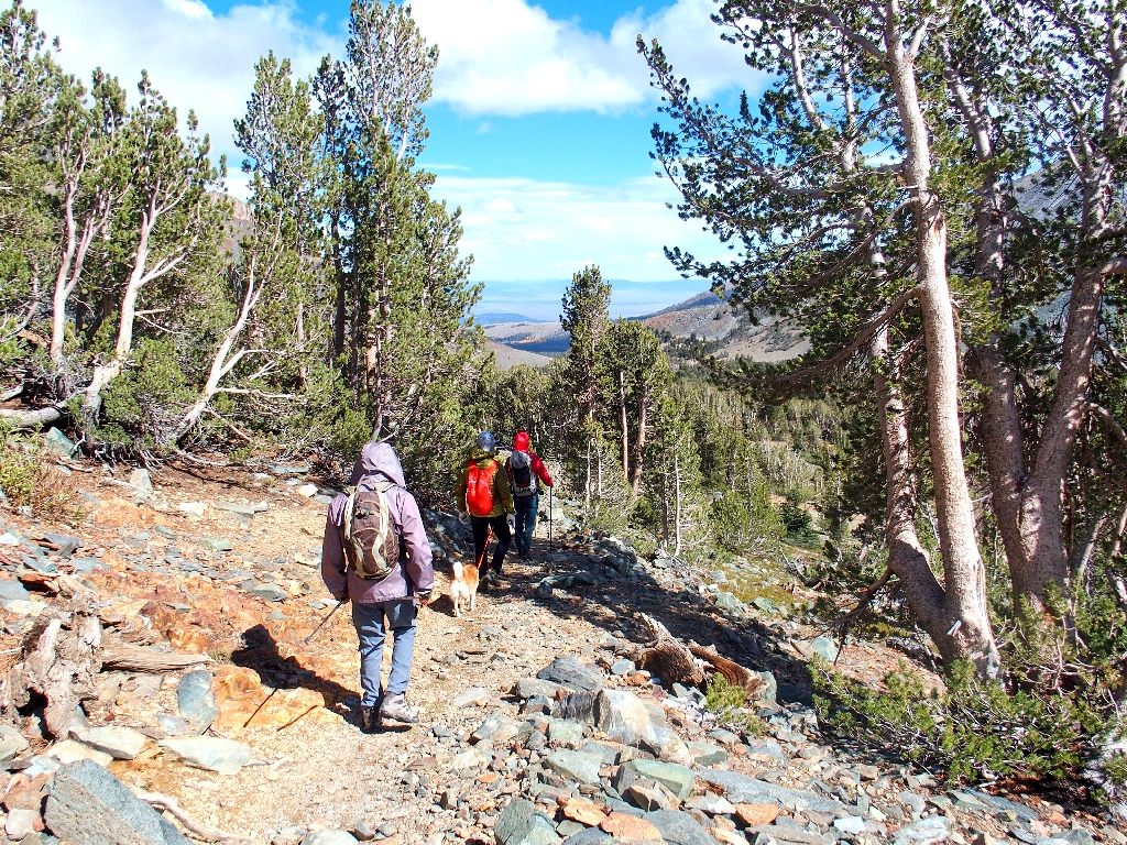
More youngsters passing me by
An unnamed lake
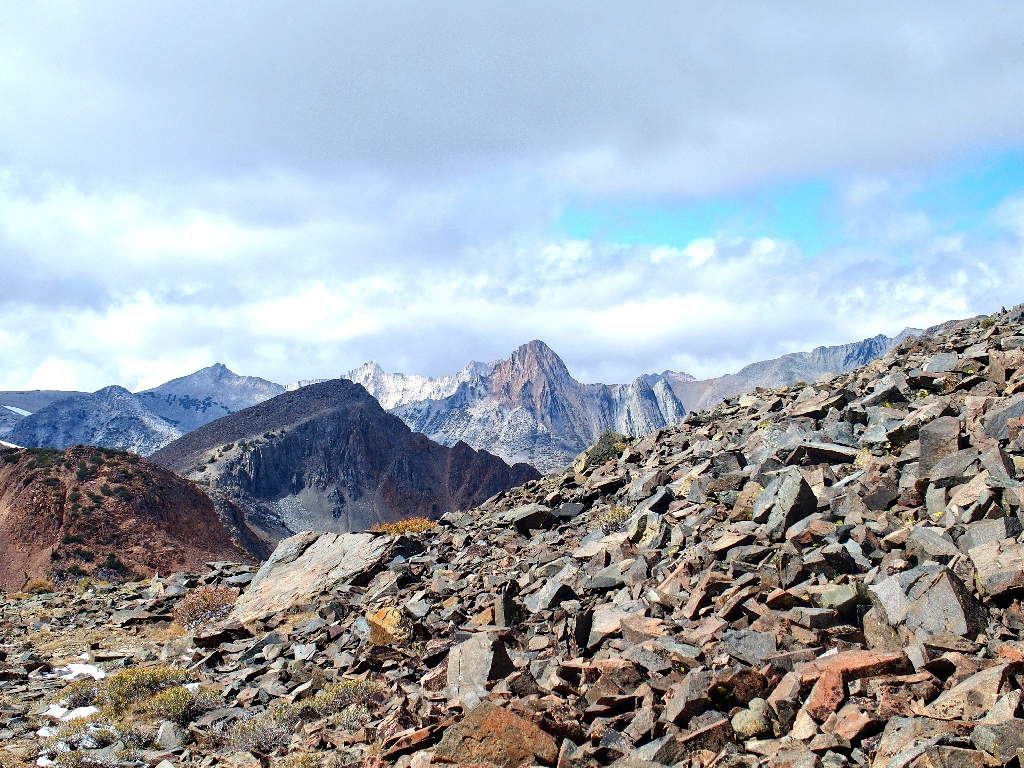
The interesting formation in front of Dunderberg will be revisited momentarily
South Peak, I believe
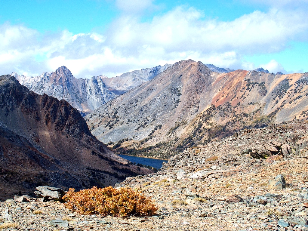
Back to Lower Frog Lake
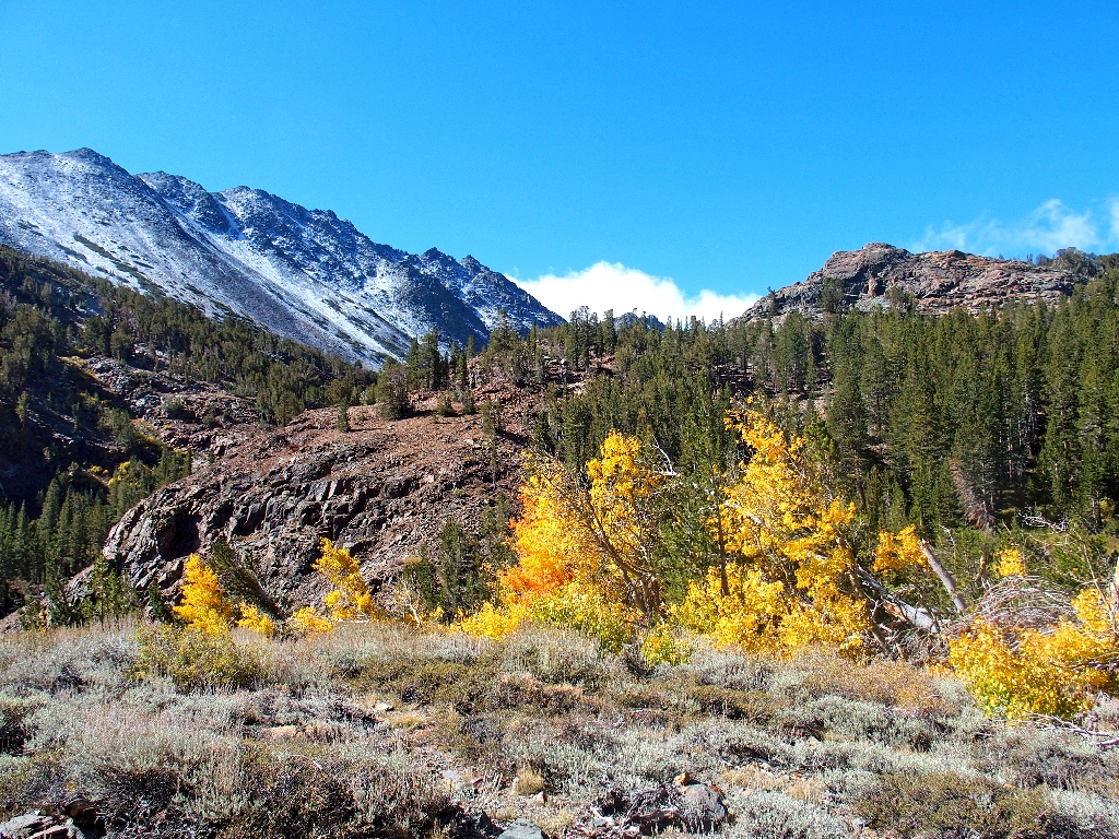
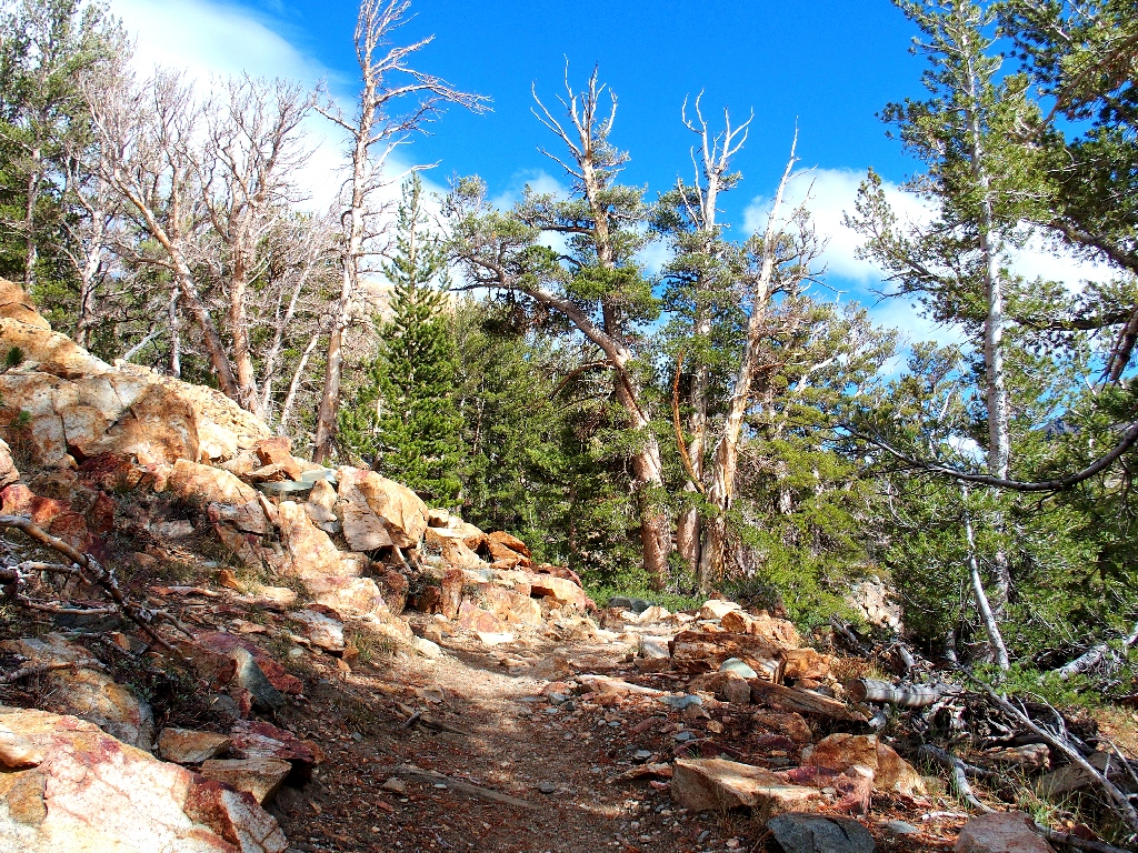
The prettiest part of today's route
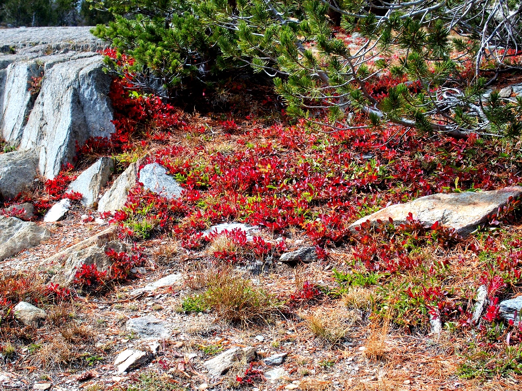
Dwarf Bilberry
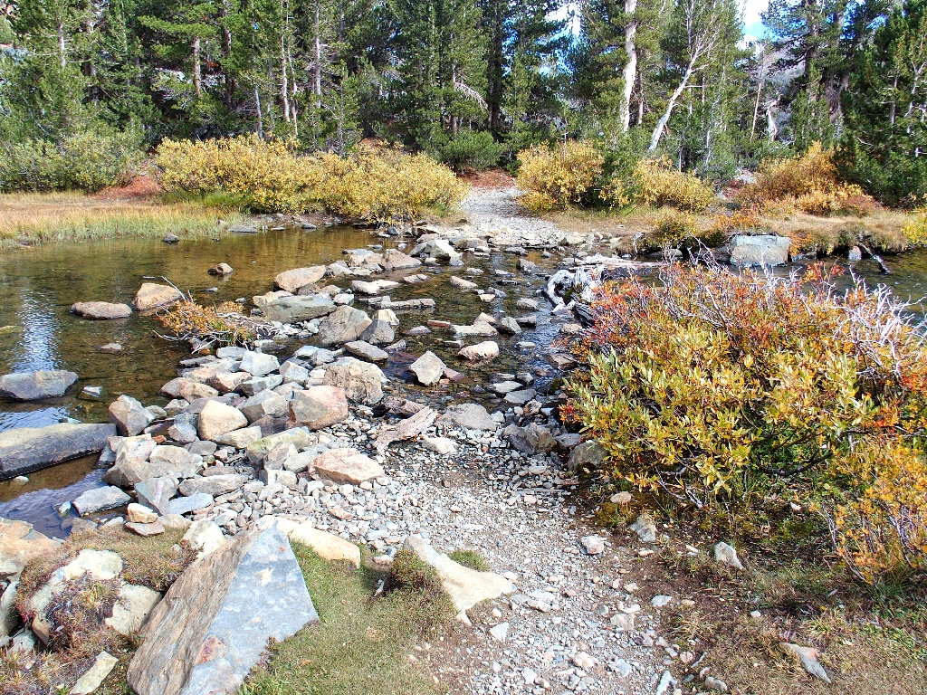
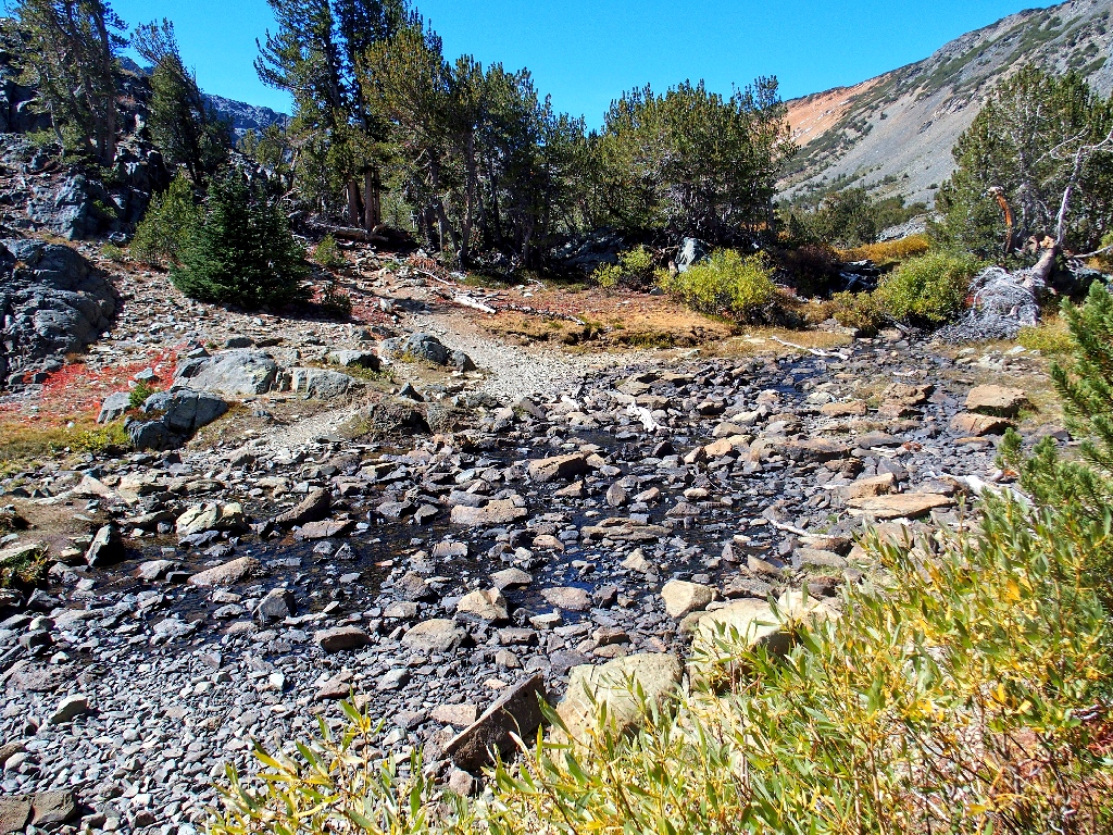
Back at the Moat Creek crossing
Absent my walking stick, I manage to slip in one spot, ending up with a wet arm; fortunately, my camera barely escaped a dunking.
Middle Frog Lake
Clooney Lake
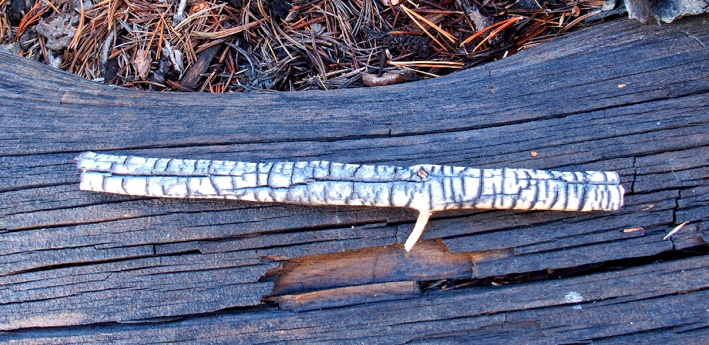
I rather fancy the look of this stick
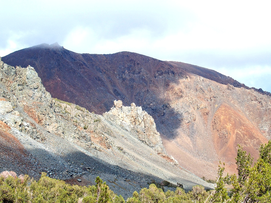
The 'interesting formation' has reappeared. Fifteen years ago I gave it a name, which still seems to fit.
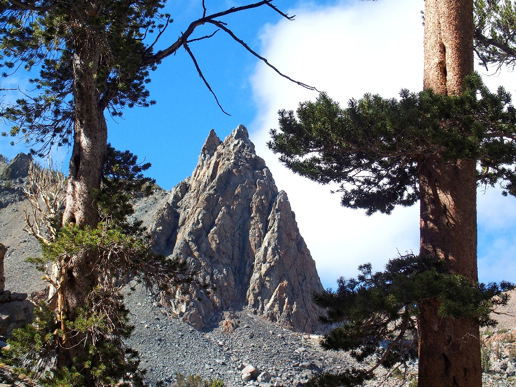
Garfield Rock
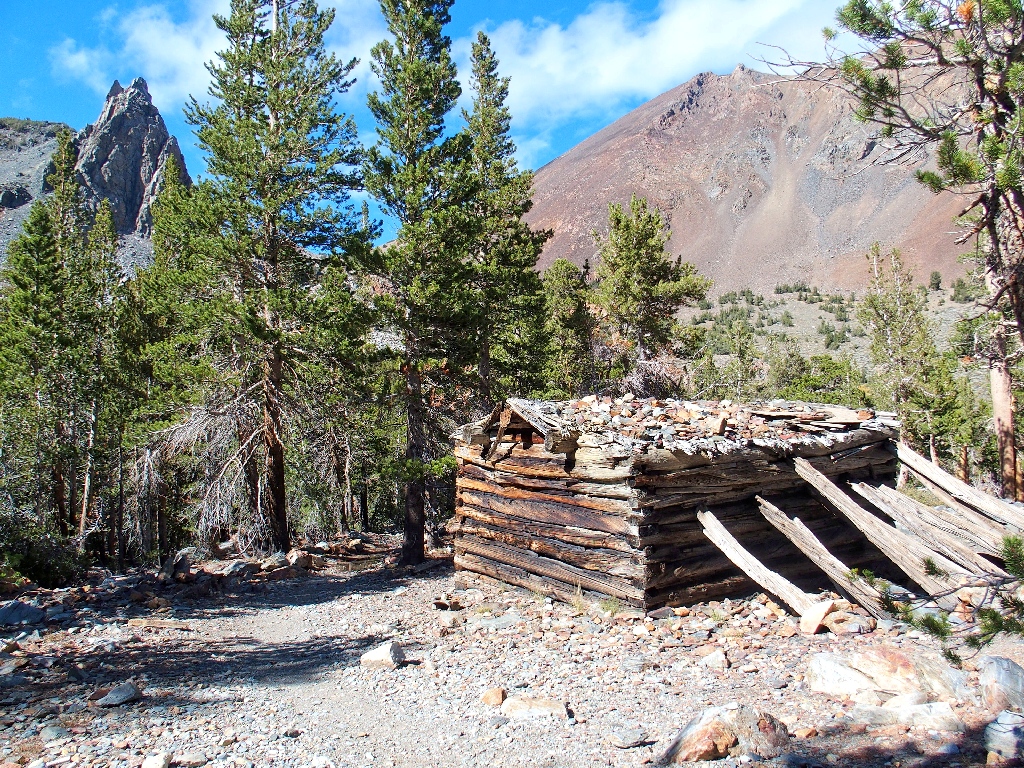
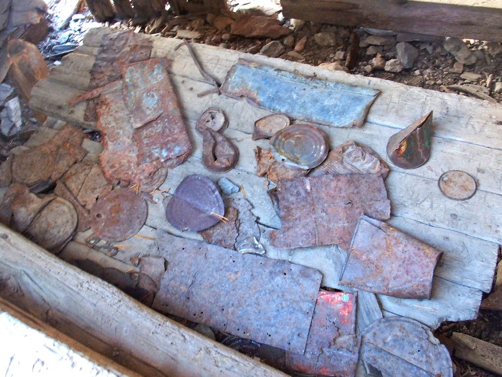
Just below is Garfield's cabin
If you're too young to have enjoyed any Garfield comic strips, find some and do it.
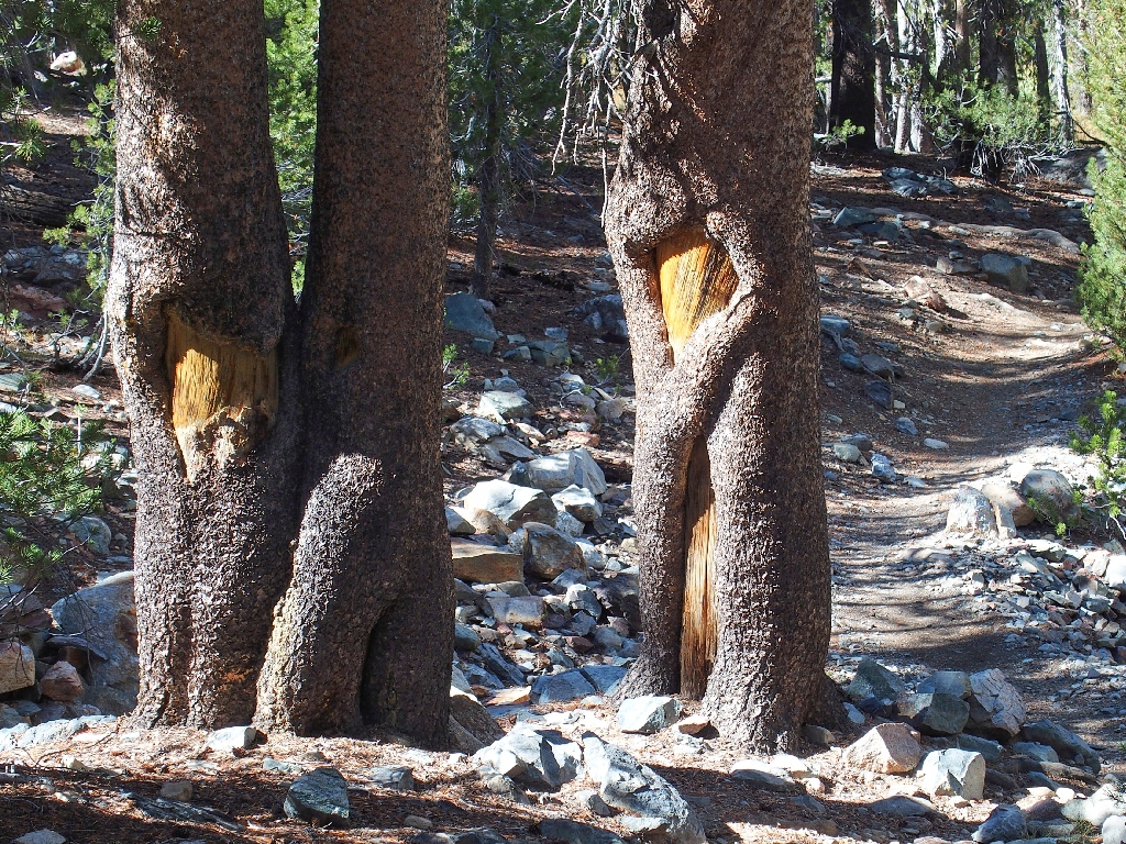
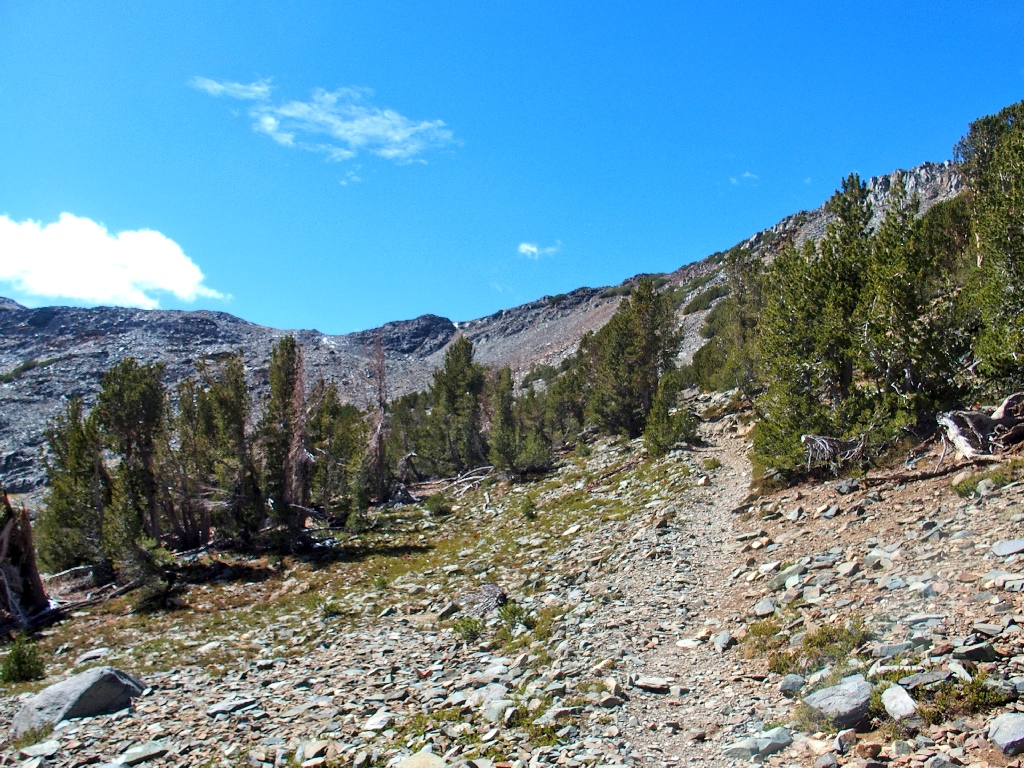
Lodgepole Pines
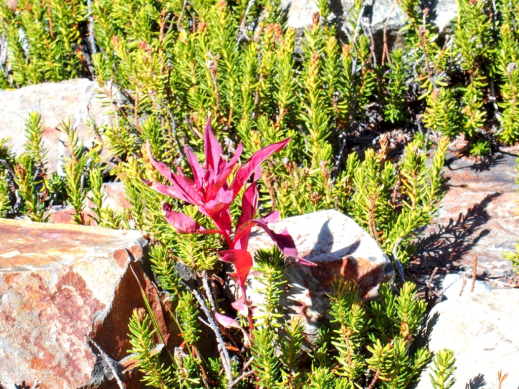
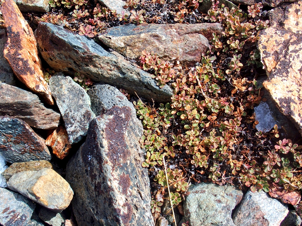
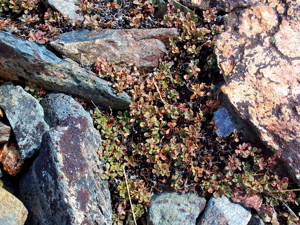
Black Crowberry
The Blue Lake Traverse awaits me
It's not far now
A quarter-mile from the trailhead I opt for a left turn at an unmarked junction, but a glance at the GPS reveals that I am walking too far. Not wanting to head over to the Trumbull Lake Campground, I scramble up the nearby ridge to the right and am pleased to see the trailhead just below.
Found it!
§: Well, I did it and I'm glad. Gary later remarked that I should
be pleased that I still can do this sort of thing at my age, especially with no
acclimation, and of course I am. However, it would be nice never again to encounter
such a fierce wind, because it takes much of the fun out of everything.
| Scenery |  |
| Difficulty |  |